Blog
Continental Drift Theory: Complete Guide to Earth’s Moving Continents

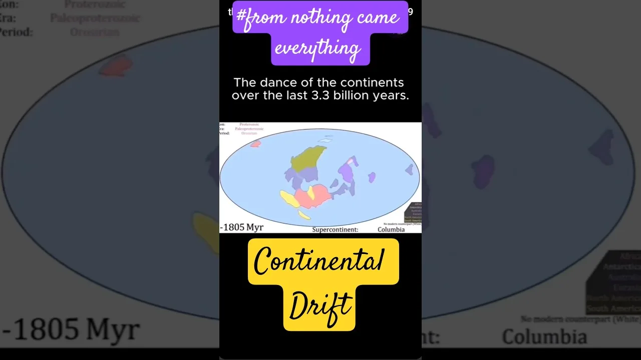
Table of Contents
- Origins of the Continental Drift Theory
- Alfred Wegener's Comprehensive Argument
- The Turning Point: From Continental Drift to Plate Tectonics
- Arthur Holmes and Mantle Convection
- Post-War Oceanographic Revolution
- Visualizing Continental Drift: From Pangaea to Present
- Key Stages of Continental Movement
- Modern Evidence Supporting the Continental Drift Theory
- Space Geodesy: Measuring Motion in Real Time
- Seismic Tomography: Imaging Mantle Convection
- Why the Continental Drift Theory Matters Today
- Natural Hazard Assessment
- Resource Exploration and Environmental Management
- Ancient Cratons: Windows to Earth's Early History
- Future of Continental Movement
- Conclusion
The continental drift theory represents one of the most revolutionary concepts in geological science, fundamentally transforming our understanding of Earth’s dynamic surface. From its controversial beginnings in the early 20th century to its current status as the foundation of modern plate tectonics, this scientific journey spans over a century of discovery, debate, and technological advancement. Today, the continental drift theory explains not only how continents move but also provides the framework for understanding earthquakes, volcanic activity, mountain formation, and the distribution of natural resources across our planet.
- Alfred Wegener formally proposed the continental drift theory in 1912, supported by fossil, geological, and paleoclimatic evidence.
- The theory faced decades of rejection until seafloor spreading and paleomagnetism provided the missing mechanism in the 1960s.
- Pangaea, the most recent supercontinent, existed approximately 335–175 million years ago before fragmenting into Laurasia and Gondwana.
- Modern continents continue moving at rates of 2–3 centimeters per year, driven by mantle convection currents.
- Ancient cratons preserve Earth’s oldest continental crust, offering clues to early planetary history.
Origins of the Continental Drift Theory
The intellectual roots of the continental drift theory extend far beyond Alfred Wegener’s 1912 publication. As early as 1596, Flemish cartographer Abraham Ortelius observed the striking geometric fit between the coastlines of Africa and South America, speculating that the continents had been “torn away” by earthquakes and floods. In the 18th and 19th centuries, naturalists including Alexander von Humboldt and Antonio Snider-Pellegrini expanded on these observations, noting similarities in rock formations and fossil assemblages across Atlantic shores. However, these early insights lacked a unifying mechanism and were largely dismissed as coincidence.
Alfred Wegener’s Comprehensive Argument
In 1912, German meteorologist and polar researcher Alfred Wegener (1880–1930) presented the first systematic formulation of the continental drift theory at a meeting of the Geological Association in Frankfurt. His landmark 1915 book Die Entstehung der Kontinente und Ozeane (The Origin of Continents and Oceans) went through four editions, each expanding the evidentiary base. Wegener’s genius lay in synthesizing multiple independent lines of evidence into a coherent hypothesis:
- Geometric fit: The continental shelves of South America and Africa align with remarkable precision at the 1,000-meter bathymetric contour, not the modern coastlines.
- Paleontological correlation: Identical fossil species—most famously the freshwater reptile Mesosaurus, the seed fern Glossopteris, and the land-dwelling Lystrosaurus—appear on continents now separated by vast oceans.
- Stratigraphic continuity: Precambrian rock sequences, ancient mountain belts (such as the Caledonian-Appalachian orogen), and glacial deposits (tillites) of Late Paleozoic age match across now-separated landmasses.
- Paleoclimatic indicators: Coal deposits in Antarctica, glacial striations in India and Africa, and evaporites in tropical regions all indicate past continental positions vastly different from today.
Despite this compelling multidisciplinary evidence, the continental drift theory encountered fierce resistance from the geological establishment. The primary objection was mechanical: Wegener proposed that continents plowed through denser oceanic crust like icebreakers, driven by centrifugal forces from Earth’s rotation and tidal drag from the Sun and Moon. Prominent geophysicists, including Sir Harold Jeffreys, correctly calculated that these forces were orders of magnitude too weak to move continents. Without a viable mechanism, the continental drift theory remained marginalized for nearly half a century.
The Turning Point: From Continental Drift to Plate Tectonics
Arthur Holmes and Mantle Convection
As early as 1928–1931, British geologist Arthur Holmes (1890–1965) proposed that mantle convection could provide the driving force for continental movement. In his textbook Principles of Physical Geology, Holmes envisioned radioactive heat generating convection cells in the mantle, with rising limbs beneath oceanic ridges and descending limbs beneath trenches. This prescient model anticipated the modern understanding of plate dynamics but lacked observational support at the time.
Post-War Oceanographic Revolution
The 1950s and 1960s brought transformative data from marine geology and geophysics. Key discoveries included:
- Mid-ocean ridges: The global mid-ocean ridge system, mapped by Marie Tharp and Bruce Heezen using sonar data, revealed a continuous 65,000-km volcanic mountain chain.
- Seafloor spreading: Harry Hess (1960) and Robert Dietz (1961) independently proposed that new oceanic crust forms at ridges and spreads laterally, carrying continents passively.
- Paleomagnetic striping: Symmetric patterns of magnetic anomalies parallel to ridges, documented by Vine, Matthews, and Morley (1963), provided the “smoking gun” for seafloor spreading.
- Transform faults and subduction zones: J. Tuzo Wilson’s work (1965) completed the kinematic framework of rigid plates moving on a spherical surface.
By 1967–1968, the continental drift theory had been subsumed into the broader plate tectonics paradigm, which explained not only continental motion but also the distribution of earthquakes, volcanoes, mountain belts, and mineral deposits. The American Geophysical Union’s 1967 “Plate Tectonics” symposium marked the formal acceptance of this new unifying theory of geology.
Visualizing Continental Drift: From Pangaea to Present
Modern computational paleogeography allows us to reconstruct the continental drift theory’s predictions with unprecedented precision. Using paleomagnetic data, hotspot tracks, and seafloor magnetic anomalies, scientists have generated detailed plate motion models spanning the last billion years. The most recent supercontinent cycle centers on Pangaea (Greek for “all lands”), which assembled during the Late Paleozoic (~335 Ma) and began fragmenting in the Early Jurassic (~175 Ma).
Key Stages of Continental Movement
| Time (Ma) | Configuration | Key Events |
|---|---|---|
| 335–175 | Pangaea (supercontinent) | Variscan/Alleghanian orogeny; Permian-Triassic extinction |
| 200–145 | Pangaea rift initiation | Central Atlantic opening; Tethys Ocean expansion |
| 175–100 | Laurasia (N) & Gondwana (S) | South Atlantic opening; India separates from Gondwana |
| 100–50 | Continents approaching modern positions | India-Asia collision (Himalayas); North Atlantic opening |
| 50–0 | Modern configuration | Mediterranean closure; East African Rift development |
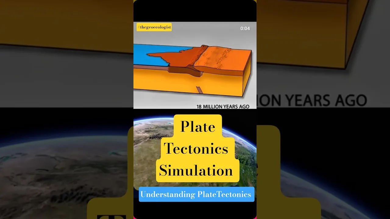
Interactive visualizations—widely shared as educational timelapse videos and social media shorts—dramatically illustrate how the continental drift theory operates across deep time. These animations reveal that continental motion is neither uniform nor linear; plates accelerate, decelerate, rotate, and change direction in response to shifting mantle flow patterns and plate boundary forces.
Modern Evidence Supporting the Continental Drift Theory
Space Geodesy: Measuring Motion in Real Time
Since the 1980s, space-based geodetic techniques—GPS (Global Positioning System), VLBI (Very Long Baseline Interferometry), SLR (Satellite Laser Ranging), and DORIS (Doppler Orbitography and Radiopositioning Integrated by Satellite)—have provided direct, millimeter-precision measurements of contemporary plate velocities. The ITRF (International Terrestrial Reference Frame) and models like NUVEL-1A and MORVEL confirm that plates move at rates of 10–100 mm/yr, precisely as predicted by the continental drift theory. For example, the Pacific Plate moves northwest at ~80 mm/yr relative to the Eurasian Plate, while the North American Plate drifts southwest at ~25 mm/yr.
Seismic Tomography: Imaging Mantle Convection
Seismic tomography—essentially CT scans of Earth’s interior using earthquake waves—has revealed the three-dimensional structure of mantle convection. Subducting slabs are imaged descending to the core-mantle boundary (2,890 km depth), while large low-shear-velocity provinces (LLSVPs) beneath Africa and the Pacific may represent long-lived upwelling zones. These observations provide direct evidence for the convection cells that Arthur Holmes hypothesized nearly a century ago, completing the mechanistic loop of the continental drift theory.
Why the Continental Drift Theory Matters Today
Natural Hazard Assessment
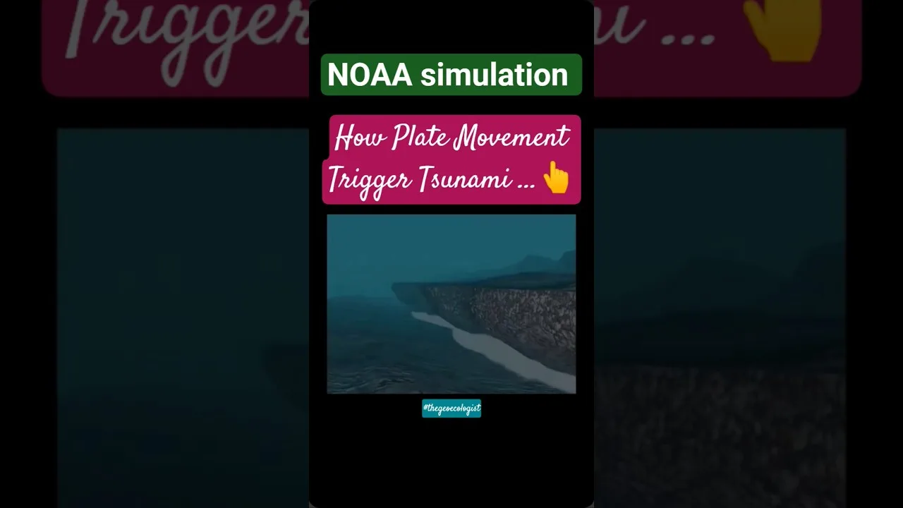
The continental drift theory provides the fundamental framework for understanding and mitigating geological hazards. Plate boundaries—divergent, convergent, and transform—host the vast majority of Earth’s earthquakes and volcanic eruptions. Subduction zones, where oceanic plates descend beneath continental or oceanic plates, generate the planet’s largest earthquakes (Mw > 9.0) and most explosive volcanoes. The 2004 Sumatra-Andaman earthquake (Mw 9.1–9.3), 2011 Tohoku earthquake (Mw 9.0–9.1), and the ongoing seismic hazard along the Cascadia subduction zone all derive directly from plate tectonic processes first explained by the continental drift theory.
Resource Exploration and Environmental Management
Economic geology relies heavily on plate tectonic reconstructions derived from the continental drift theory. Major mineral deposit types are linked to specific tectonic settings:
- Porphyry copper deposits: Associated with convergent margins (Andes, Southwest USA).
- Sedimentary exhalative (SEDEX) deposits: Formed in rift basins during continental breakup.
- Orogenic gold: Concentrated in metamorphic terranes along ancient suture zones.
- Hydrocarbon systems: Passive margins created by continental rifting host the world’s largest oil and gas provinces (Gulf of Mexico, West Africa, North Sea).
Understanding paleogeographic reconstructions also informs climate modeling, biodiversity studies, and carbon cycle research. The arrangement of continents controls ocean circulation, atmospheric patterns, and the distribution of biomes—critical factors in both past and future climate scenarios.
Ancient Cratons: Windows to Earth’s Early History
The continental drift theory illuminates the history of cratons—Earth’s oldest and most stable continental blocks, composed of Archean (>2.5 Ga) and Proterozoic crystalline basement. Major cratons include the Kaapvaal (Southern Africa), Pilbara (Western Australia), Superior (Canada), São Francisco (Brazil), and Dharwar (India). These ancient nuclei have survived multiple supercontinent cycles, preserving records of early Earth processes including the onset of plate tectonics itself, debated to have begun anywhere from 4.0 to 2.5 billion years ago.
Cratonic roots, extending 200–250 km into the mantle, are chemically depleted and mechanically strong, resisting deformation during continental collisions. Their stability makes them ideal repositories for diamond-bearing kimberlite pipes and strategic mineral deposits. Studying craton assembly and dispersal through the lens of the continental drift theory reveals the tempo of continental growth and the evolution of Earth’s unique tectonic regime.
Future of Continental Movement
The continental drift theory allows geologists to project future plate configurations, though uncertainties increase with time. Current models suggest several possible scenarios for the next supercontinent cycle (200–300 million years hence):
- Novopangaea: Pacific closure, Americas colliding with Asia/Australia.
- Pangaea Proxima (or Pangaea Ultima): Atlantic closure, Americas returning to Africa/Eurasia.
- Amasia: Arctic Ocean closure, continents amalgamating around the North Pole.
- Aurica: Equatorial supercontinent centered on the Atlantic-Indian Ocean boundary.
These projections, while speculative in detail, underscore a core tenet of the continental drift theory: Earth’s surface is in perpetual motion. The Atlantic Ocean is currently widening at ~25 mm/yr, while the Pacific is shrinking. The East African Rift may eventually split the African continent, creating a new ocean basin. The Mediterranean Sea represents the final stages of Tethys Ocean closure, destined to become a mountain belt as Africa continues converging with Eurasia.
Conclusion
The continental drift theory stands as a testament to the power of scientific synthesis and the importance of mechanistic thinking in Earth sciences. From Alfred Wegener’s interdisciplinary evidence to the space-age confirmation of plate motions, this theory has evolved from a controversial hypothesis to the central organizing principle of geology. It explains the distribution of continents and oceans, the occurrence of natural hazards, the location of mineral and energy resources, and the long-term evolution of Earth’s climate and biosphere.
As we continue to refine our understanding of mantle dynamics, plate boundary processes, and the feedbacks between tectonics and surface systems, the continental drift theory remains a living framework—constantly tested, expanded, and applied to new questions. The next time you examine a world map, remember that the continents beneath your finger are not static fixtures but dynamic rafts on a convecting mantle, engaged in a slow-motion dance that has shaped our planet for billions of years and will continue long after we are gone.
For deeper exploration of plate tectonic reconstructions, visit the Plate Tectonics Wikipedia page. To learn more about Alfred Wegener’s life and work, see his biographical entry. For interactive paleogeographic visualizations, the Pangaea article provides excellent resources and links to scientific modeling tools.
Frequently Asked Questions
The continental drift theory is the scientific hypothesis that Earth's continents have moved across the planet's surface over geological time, first systematically proposed by Alfred Wegener in 1912 and later incorporated into the theory of plate tectonics.
Key evidence includes the jigsaw-fit of continental shelves, matching fossil distributions (Mesosaurus, Glossopteris, Lystrosaurus), continuous rock formations and mountain belts across oceans, paleoclimatic indicators (glacial deposits in tropics, coal in Antarctica), and modern GPS measurements confirming ongoing plate motion.
Modern continents move at rates of approximately 2–3 centimeters per year (20–30 mm/yr), comparable to fingernail growth. Rates vary by plate: the Pacific Plate moves ~80 mm/yr, while the North American Plate moves ~25 mm/yr.