Blog
Pacific Ring of Fire: Complete Guide to Earthquakes & Volcanoes

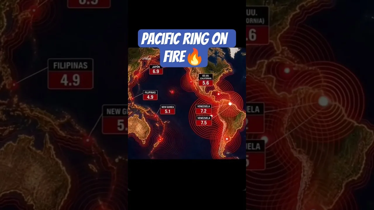
Table of Contents
- What Is the Pacific Ring of Fire?
- The Geological Framework
- Plate Tectonics: The Engine Behind the Ring of Fire
- Subduction Zones: The Primary Driver
- Transform Faults: Lateral Slippage
- Divergent Boundaries and Back-Arc Spreading
- Regional Breakdown: Major Segments of the Pacific Ring of Fire
- The Western Pacific: Indonesia, Japan, and the Philippines
- The Eastern Pacific: The Americas' Volcanic Coast
- The Aleutian Islands and Kamchatka Peninsula
- Beyond the Pacific: Venezuela and Caribbean Seismicity
- Earthquake Monitoring and Early Warning Systems
- Global Seismic Networks
- Earthquake Early Warning (EEW) Systems
- Improved Detection vs. Increased Activity
- Volcanic Hazards and Monitoring
- Volcano Types Within the Ring of Fire
- Volcanic Explosivity Index (VEI)
- Monitoring Technologies
- Societal Impacts and Risk Mitigation
- Building Codes and Engineering
- Tsunami Warning Systems
- Insurance and Economic Resilience
- Climate Change Interactions
- Future Outlook and Scientific Advances
- Subduction Zone Observatories
- Machine Learning in Seismology
- Probabilistic Seismic Hazard Analysis (PSHA)
- Conclusion: Living with the Ring of Fire
The Pacific Ring of Fire stands as the most seismically active region on Earth, a massive horseshoe-shaped zone encircling the Pacific Ocean where tectonic forces unleash devastating earthquakes and volcanic eruptions with frightening regularity. Stretching approximately 40,000 kilometers (25,000 miles), this geological belt hosts roughly 75% of the world’s active volcanoes and generates about 90% of all earthquakes, making it the planet’s most dangerous and scientifically fascinating seismic zone.
- The Pacific Ring of Fire spans 40,000 km and contains 75% of Earth’s active volcanoes
- Approximately 90% of the world’s earthquakes occur along this tectonic boundary
- Subduction zones drive the most powerful quakes and volcanic activity
- Countries like Japan, Indonesia, Chile, and the US West Coast face highest risks
- Early warning systems and building codes save thousands of lives annually
- Seismic monitoring has improved dramatically, not necessarily earthquake frequency
What Is the Pacific Ring of Fire?
The Pacific Ring of Fire is not a single fault line but a complex network of convergent, divergent, and transform plate boundaries that form a continuous loop around the Pacific Ocean. This geological feature earned its dramatic name from the constant volcanic activity and frequent earthquakes that characterize the region. The term was first coined in the late 19th century by geologists who recognized the pattern of seismic events circling the Pacific basin.
According to the United States Geological Survey (USGS), the Ring of Fire traces the boundaries of the Pacific Plate as it interacts with numerous surrounding plates including the North American, Eurasian, Philippine, Australian, Nazca, Cocos, and South American plates. This interaction creates a nearly continuous series of subduction zones, volcanic arcs, and transform faults that generate the region’s intense geological activity.
The Geological Framework
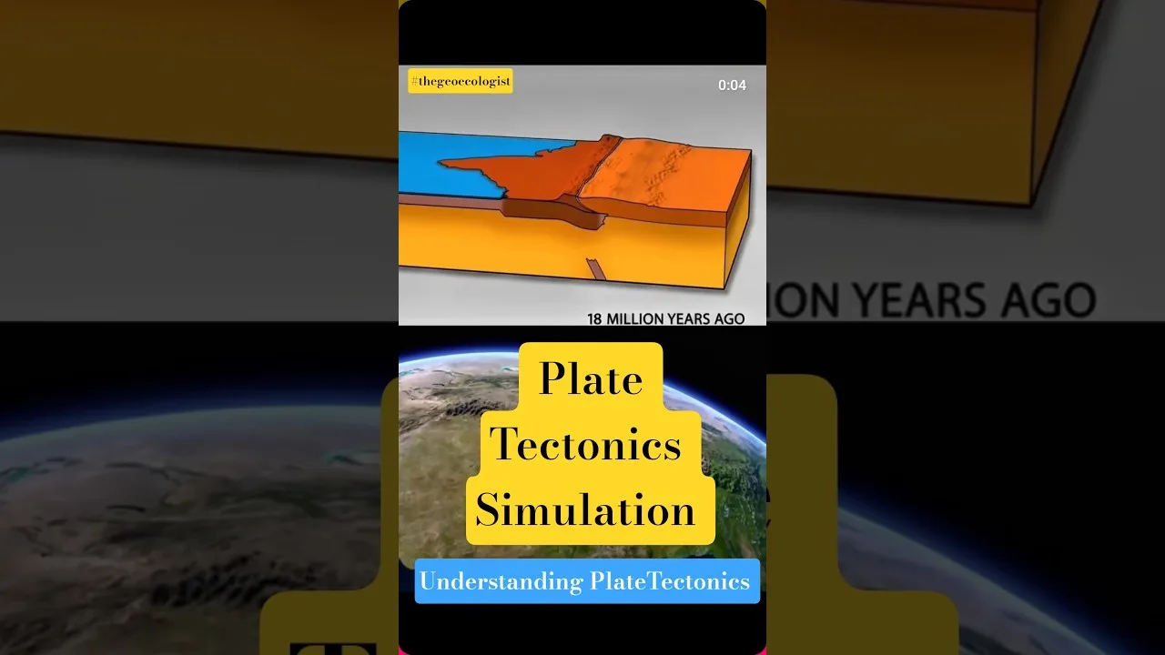
Earth’s lithosphere is divided into several major and minor tectonic plates that float atop the semi-fluid asthenosphere. The Pacific Plate, the largest tectonic plate at 103 million square kilometers, serves as the central player in the Pacific Ring of Fire dynamics. Its northwestward movement at approximately 7-11 centimeters per year drives collisions and interactions with surrounding plates, creating the diverse boundary types that define this seismic belt.
Plate Tectonics: The Engine Behind the Ring of Fire
Subduction Zones: The Primary Driver
Subduction zones represent the most destructive boundaries within the Pacific Ring of Fire. Here, dense oceanic crust dives beneath lighter continental crust, descending into the mantle at angles of 30-60 degrees. As the subducting plate sinks, it carries water-laden sediments and hydrated minerals deep into the Earth. At depths of 100-150 kilometers, these materials release water, lowering the melting point of the overlying mantle wedge and generating magma that rises to form volcanic arcs.
The Cascadia Subduction Zone off the Pacific Northwest coast, the Japan Trench, the Peru-Chile Trench, and the Mariana Trench (Earth’s deepest point at 11,034 meters) exemplify these boundaries. The 2011 Tohoku earthquake (magnitude 9.1) and the 1960 Valdivia earthquake (magnitude 9.5, the largest ever recorded) both originated from subduction zones within the Pacific Ring of Fire.
Transform Faults: Lateral Slippage
Transform boundaries occur where plates slide horizontally past each other. The San Andreas Fault system in California represents the most famous transform fault within the Pacific Ring of Fire, marking the boundary between the Pacific Plate and North American Plate. These faults accumulate strain over decades or centuries before releasing it in sudden, violent earthquakes. The 1906 San Francisco earthquake (estimated magnitude 7.9) and the 1989 Loma Prieta earthquake (magnitude 6.9) demonstrate the destructive potential of transform boundaries.
Divergent Boundaries and Back-Arc Spreading
While less prominent in the Pacific Ring of Fire, divergent boundaries and back-arc spreading centers contribute to the region’s complexity. The East Pacific Rise, a mid-ocean ridge spreading center, creates new oceanic crust as plates pull apart. Behind some volcanic arcs, back-arc basins form through extension, creating additional seismic zones. The Mariana Trough and the Lau Basin exemplify back-arc spreading within the western Pacific.
Regional Breakdown: Major Segments of the Pacific Ring of Fire
The Western Pacific: Indonesia, Japan, and the Philippines
The western segment of the Pacific Ring of Fire hosts the world’s most intense volcanic and seismic activity. Indonesia alone contains 127 active volcanoes and experiences thousands of earthquakes annually. The 2004 Indian Ocean earthquake (magnitude 9.1-9.3), though technically on the Sunda megathrust at the Ring of Fire’s western edge, triggered a devastating tsunami killing over 230,000 people across 14 countries.
Japan sits at the junction of four tectonic plates (Pacific, Philippine Sea, Eurasian, and North American), making it one of Earth’s most earthquake-prone nations. The country experiences approximately 1,500 earthquakes annually, with the 2011 Tohoku earthquake and tsunami causing over 18,000 deaths and the Fukushima nuclear disaster. The Ring of Fire’s western Pacific segment also includes the Philippines, where the Philippine Sea Plate subducts along the Philippine Trench and Manila Trench.
The Eastern Pacific: The Americas’ Volcanic Coast
The eastern Pacific Ring of Fire runs along the entire western coast of the Americas, from Alaska through Central America to Chile. The Cascade Range volcanoes (Mount St. Helens, Mount Rainier, Mount Hood) form a volcanic arc above the Cascadia Subduction Zone. The 1980 Mount St. Helens eruption (VEI 5) remains the most destructive volcanic event in US history.
Central America’s volcanic arc includes over 50 active volcanoes across Guatemala, El Salvador, Nicaragua, and Costa Rica. The 1985 Nevado del Ruiz eruption in Colombia (though technically on the South American segment) killed 23,000 people in Armero. The Andes Mountains host the world’s highest active volcanoes, including Ojos del Salado (6,893 meters) and numerous stratovolcanoes in Ecuador, Peru, Bolivia, and Chile.
The Aleutian Islands and Kamchatka Peninsula
The northern Pacific Ring of Fire curves through the Aleutian Islands and Russia’s Kamchatka Peninsula. The 1964 Alaska earthquake (magnitude 9.2), the second-largest ever recorded, originated from the Aleutian megathrust. Kamchatka hosts 29 active volcanoes, including Klyuchevskaya Sopka (4,750 meters), Eurasia’s highest active volcano. This remote region experiences frequent large earthquakes but lower human casualties due to sparse population.
Beyond the Pacific: Venezuela and Caribbean Seismicity
While the Pacific Ring of Fire dominates global seismicity, other plate boundaries generate significant earthquakes. Venezuela, mentioned in recent seismic reports, sits on the complex boundary between the Caribbean Plate and South American Plate. This transform boundary with compressional components produces regular moderate earthquakes, including the 2018 magnitude 7.3 earthquake near Caracas that caused damage across northern Venezuela and neighboring countries.
The Caribbean region’s seismic hazard stems from multiple boundary types: the Puerto Rico Trench (subduction), the Enriquillo-Plantain Garden fault (transform, source of the 2010 Haiti earthquake), and the Lesser Antilles subduction zone. While not part of the Pacific Ring of Fire, these zones remind us that seismic risk exists globally wherever tectonic plates interact.
Earthquake Monitoring and Early Warning Systems
Global Seismic Networks
Modern earthquake detection relies on a global network of seismometers coordinated by organizations like the Incorporated Research Institutions for Seismology (IRIS) and the International Seismological Centre (ISC). The Pacific Ring of Fire benefits from dense instrumentation in Japan (Hi-net, over 800 stations), California (Southern California Seismic Network), and Chile (National Seismological Center). These networks detect earthquakes down to magnitude 1.0 locally and magnitude 4.0 globally.
Earthquake Early Warning (EEW) Systems
Japan’s Earthquake Early Warning system, operational since 2007, provides seconds to minutes of warning before strong shaking arrives. The system detects P-waves (fast, less damaging) and estimates the arrival of S-waves (slower, more damaging). Mexico’s SASMEX system and the US West Coast’s ShakeAlert provide similar capabilities. These systems have proven invaluable: during the 2011 Tohoku earthquake, Tokyo residents received 80 seconds of warning before strong shaking began.
Improved Detection vs. Increased Activity
A common misconception suggests earthquake frequency is increasing. In reality, the Pacific Ring of Fire maintains relatively consistent long-term seismic rates. The apparent increase stems from: (1) dramatically improved global detection capabilities since the 1990s, (2) denser seismic networks capturing smaller events, (3) real-time global reporting via internet and social media, and (4) population growth placing more people in harm’s way, making earthquakes more newsworthy.
Volcanic Hazards and Monitoring
Volcano Types Within the Ring of Fire
The Pacific Ring of Fire hosts predominantly stratovolcanoes (composite volcanoes) built from alternating layers of lava, ash, and pyroclastic deposits. These steep-sided cones produce explosive eruptions due to high-silica, gas-rich magma typical of subduction zones. Shield volcanoes (like Hawaii’s, though formed by a hotspot rather than subduction) and caldera systems (Yellowstone, Toba) also occur within or near the Ring.
Volcanic Explosivity Index (VEI)
Eruptions are classified by the Volcanic Explosivity Index (VEI 0-8), a logarithmic scale measuring ejecta volume and column height. The Pacific Ring of Fire has produced numerous VEI 5-6 eruptions historically: Mount St. Helens 1980 (VEI 5), Mount Pinatubo 1991 (VEI 6), and Krakatoa 1883 (VEI 6). The 1815 Tambora eruption (VEI 7) caused the “Year Without a Summer” globally. VEI 8 supereruptions (like Toba, 74,000 years ago) remain rare but catastrophic possibilities.
Monitoring Technologies
Modern volcano monitoring employs seismometers (detecting magma movement), GPS and InSAR (measuring ground deformation), gas sensors (SO2, CO2 emissions), thermal cameras, and satellite remote sensing. The National Geographic Society highlights how these tools enabled successful evacuations before the 1991 Pinatubo eruption, saving tens of thousands of lives. The USGS Volcano Hazards Program and similar agencies worldwide maintain alert level systems (Normal, Advisory, Watch, Warning) to communicate risk.
Societal Impacts and Risk Mitigation
Building Codes and Engineering
Countries along the Pacific Ring of Fire have developed world-leading seismic engineering standards. Japan’s Building Standards Act mandates rigorous seismic design, base isolation systems, and damping technologies. Chile’s strict building codes, updated after the 2010 Maule earthquake (magnitude 8.8), helped limit casualties despite extreme shaking. The 2011 Christchurch earthquake (magnitude 6.3) in New Zealand (on the Ring’s southwestern edge) demonstrated how modern codes prevent collapse but cannot eliminate all damage.
Tsunami Warning Systems
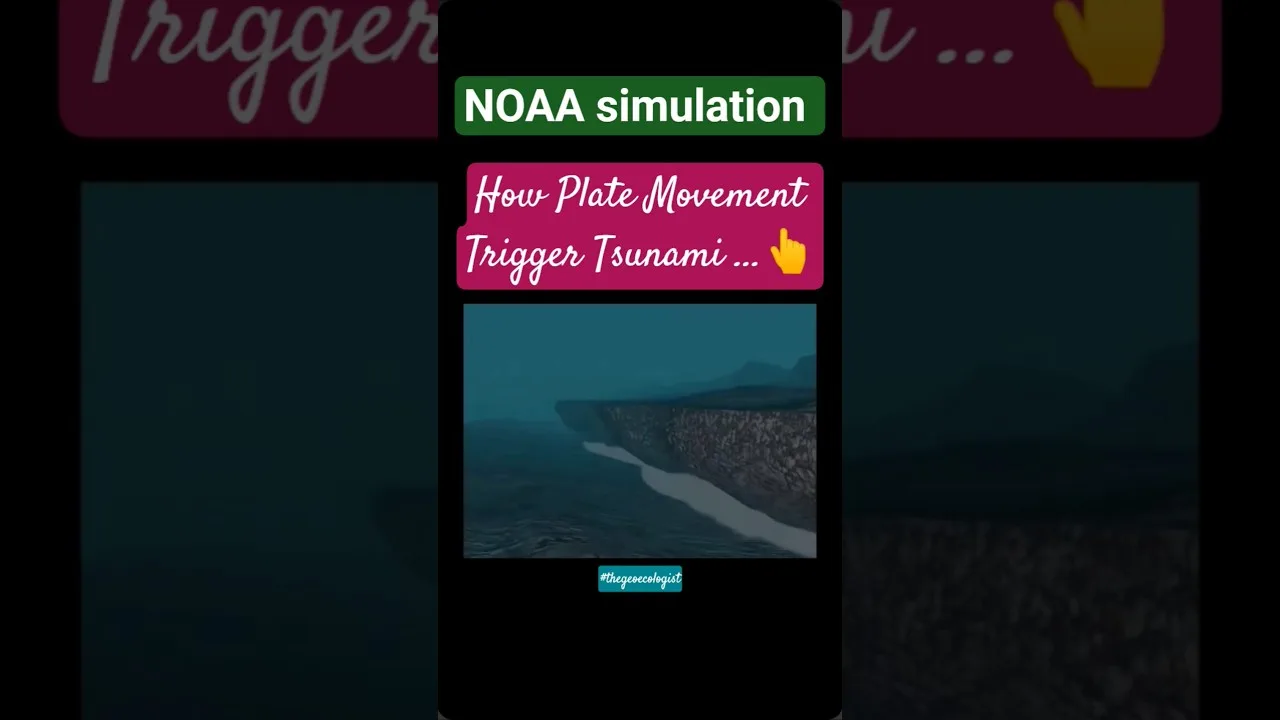
The Pacific Tsunami Warning Center (PTWC) and regional centers provide tsunami alerts for Pacific Ring of Fire events. The 2004 Indian Ocean tsunami catalyzed the creation of the Indian Ocean Tsunami Warning System. Deep-ocean Assessment and Reporting of Tsunamis (DART) buoys detect tsunami waves in real-time. Japan’s tsunami walls, evacuation routes, and regular drills represent comprehensive preparedness, though the 2011 Tohoku tsunami overtopped many defenses.
Insurance and Economic Resilience
Earthquake insurance penetration varies dramatically: over 60% in Japan, 30% in New Zealand, but under 15% in California and minimal in developing nations. The 2011 Tohoku earthquake caused $235 billion in economic losses (costliest natural disaster ever), with insured losses around $35-40 billion. Catastrophe bonds and parametric insurance offer innovative risk transfer mechanisms for Pacific Ring of Fire nations.
Climate Change Interactions
Emerging research explores connections between climate change and Pacific Ring of Fire activity. Glacial isostatic adjustment (crustal rebound from melting ice sheets) may influence seismicity in Alaska and Patagonia. Sea-level rise affects coastal fault stress loading. Extreme rainfall events can trigger landslides on volcanic slopes and potentially influence shallow seismicity through pore pressure changes. While tectonic forces dominate, these climate interactions represent an evolving research frontier.
Future Outlook and Scientific Advances
Subduction Zone Observatories
Projects like the Nankai Trough Seismogenic Zone Experiment (NanTroSEIZE) and the Cascadia Initiative deploy borehole observatories and ocean-bottom seismometers directly into subduction zones. These provide unprecedented data on slow slip events, tremor, and the transition from locked to creeping fault behavior—critical for understanding Pacific Ring of Fire megathrust earthquake cycles.
Machine Learning in Seismology
Artificial intelligence transforms earthquake detection and forecasting. Deep learning algorithms identify microearthquakes in noisy data, characterize aftershock patterns, and detect precursory signals. Google’s AI for earthquake detection and Stanford’s PhaseNet demonstrate how machine learning enhances monitoring capabilities across the Pacific Ring of Fire.
Probabilistic Seismic Hazard Analysis (PSHA)
PSHA frameworks integrate geological, geophysical, and historical data to quantify earthquake probabilities. The USGS National Seismic Hazard Model, Japan’s Headquarters for Earthquake Research Promotion models, and the Global Earthquake Model (GEM) foundation provide open-access hazard assessments guiding building codes, insurance, and emergency planning throughout the Pacific Ring of Fire.
Conclusion: Living with the Ring of Fire
The Pacific Ring of Fire represents Earth’s most dynamic geological frontier, a testament to the planet’s internal heat engine driving plate tectonics. While its earthquakes and volcanoes pose existential risks to millions, they also create the fertile soils, mineral deposits, geothermal energy, and dramatic landscapes that sustain human civilization around the Pacific rim. Understanding this system—through continued scientific research, improved monitoring, resilient engineering, and informed public policy—remains humanity’s best strategy for thriving alongside one of nature’s most powerful forces.
As detection capabilities advance and populations grow, the distinction between increased seismic activity and improved awareness becomes crucial. The Pacific Ring of Fire will continue its restless behavior regardless of human observation, but our capacity to anticipate, prepare for, and mitigate its hazards improves with each passing decade. The challenge lies not in stopping Earth’s tectonic engine, but in building societies resilient enough to withstand its inevitable outbursts.
Frequently Asked Questions
The Pacific Ring of Fire includes Chile, Peru, Ecuador, Colombia, Panama, Costa Rica, Nicaragua, El Salvador, Honduras, Guatemala, Mexico, United States (Alaska, California, Oregon, Washington), Canada, Russia (Kamchatka, Kuril Islands), Japan, Philippines, Indonesia, Papua New Guinea, Solomon Islands, Vanuatu, Fiji, Tonga, and New Zealand.
The Pacific Ring of Fire experiences frequent earthquakes because it marks the boundaries of the Pacific Plate interacting with multiple surrounding tectonic plates. Subduction zones, where oceanic plates dive beneath continental plates, generate the most powerful earthquakes through stick-slip behavior and stress accumulation over decades to centuries.
Currently, scientists cannot predict the exact time, location, and magnitude of future earthquakes. However, probabilistic seismic hazard analysis provides long-term forecasts of earthquake likelihood, and early warning systems can provide seconds to minutes of warning after an earthquake begins but before strong shaking arrives at distant locations.