Blog
Introduction to Maps: NCERT Class 11 Practical Geography Guide

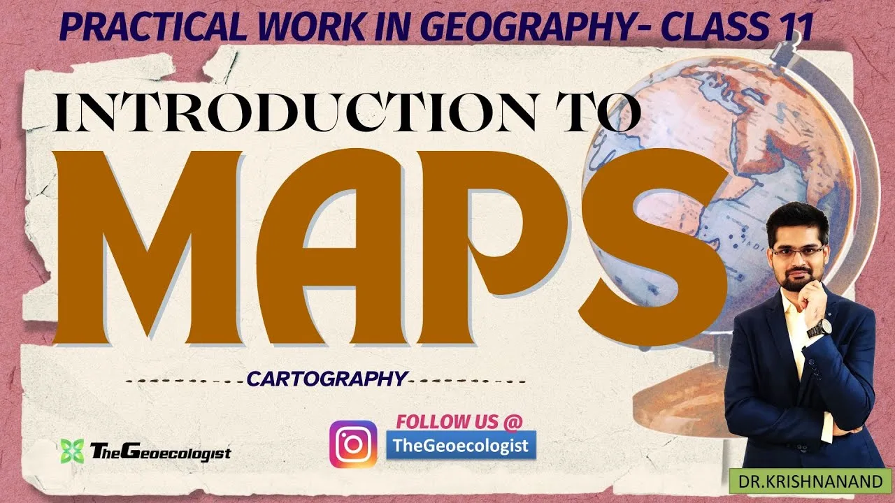
Table of Contents
- Introduction to Maps: The Foundation of Geographical Study
- The Historical Evolution of Cartography
- The Vital Significance of Maps in the Modern Era
- Categorizing Geographic Data: Types of Maps
- The Core Elements of Map Construction
- 1. Scale: The Ratio of Reality
- 2. Symbols and Legend
- 3. Direction and Orientation
- 4. The Coordinate System: Latitude and Longitude
- Practical Applications: From Fieldwork to Digital Intelligence
- Maps and Competitive Examinations
- Mastering Geography with TheGeoecologist
- Why Choose TheGeoecologist?
- Conclusion: Unlocking the World Through Maps
Introduction to Maps: The Foundation of Geographical Study
An Introduction to Maps serves as the gateway for anyone seeking to master the complexities of spatial science and cartography. In the context of NCERT Class 11 Practical Work in Geography, understanding how we represent the Earth’s surface is not merely an academic exercise but a fundamental skill for modern spatial analysis. Maps act as visual translations of reality, simplifying vast, intricate landscapes into digestible, two-dimensional formats that allow us to analyze patterns, human activities, and environmental changes with precision.
- Visualizing Data: Maps transform complex spatial datasets into understandable visual patterns.
- Navigational Essential: From ancient maritime routes to modern GPS, maps are the backbone of movement.
- Analytical Tool: They allow for the comparison of different geographical variables like climate and population.
- Exam Foundation: Essential for mastering the syllabus for CUET, UPSC, and UGC NET exams.
As we embark on this Introduction to Maps, Introduction to Maps is important to recognize that maps have evolved from primitive clay tablets and hand-drawn sketches to highly sophisticated digital models. Today, they are powered by satellite imagery and complex algorithms, yet the core principles of cartography—scale, projection, and symbology—remain as relevant as they were centuries ago.
The Historical Evolution of Cartography
To truly appreciate an Introduction to Maps, one must understand their history. Early humans used rudimentary markings on cave walls to denote water sources or hunting grounds. The development of mathematical projections allowed cartographers to represent the spherical Earth on a flat plane, a feat of mathematical genius. Modern cartography integrates cartography techniques with real-time data, allowing us to monitor global warming, urban sprawl, and tectonic shifts with unprecedented accuracy.
The Vital Significance of Maps in the Modern Era
Why is a thorough Introduction to Maps necessary for students and professionals alike? The applications of map-making extend far beyond the classroom. In the realm of education, maps help students visualize landforms and climate zones that are otherwise impossible to observe in their entirety. For travelers, pilots, and sailors, maps are life-saving tools that provide critical information about terrain and maritime hazards.
Furthermore, in the field of urban planning and disaster management, maps are indispensable. Governments use them to allocate resources, plan infrastructure, and create evacuation routes during natural disasters like floods or earthquakes. As we move further into the digital age, the integration of maps with Geographic Information Systems (GIS) has revolutionized how we interact with our environment.
Categorizing Geographic Data: Types of Maps
In any comprehensive Introduction to Maps, we must distinguish between the different types of maps based on their purpose and the data they convey:
- Physical Maps: These are designed to show the natural features of the Earth. They highlight mountains, rivers, plateaus, plains, and oceans, providing a visual representation of the planet’s physical topography.
- Political Maps: These focus on human-made boundaries. They depict the limits of countries, states, districts, and cities, making them essential for understanding geopolitical relationships.
- Thematic Maps: Unlike general-purpose maps, thematic maps are designed to show a specific theme or subject matter. Examples include maps showing rainfall patterns, population density, or soil types.
- Topographic Maps: These are highly detailed maps that use contour lines to represent the relief or elevation of the land, making them crucial for engineers and surveyors.
The Core Elements of Map Construction
To interpret a map correctly, one must understand its fundamental components. A proper Introduction to Maps must cover these five pillars of cartographic literacy:
1. Scale: The Ratio of Reality
Scale is perhaps the most critical element. Introduction to Maps is the mathematical ratio between the distance on the map and the actual distance on the ground. Whether it is a large-scale map (showing a small area in great detail, like a city street map) or a small-scale map (showing a large area with less detail, like a world map), scale determines the utility of the map for the user.
2. Symbols and Legend
Since we cannot draw every tree, building, or road exactly as they appear, we use symbols. A legend or key is provided to decode these symbols, ensuring the map is readable and standardized. This standardization is what allows a map created in one part of the world to be understood by someone in another.
3. Direction and Orientation
Maps are oriented using a compass rose, typically showing North at the top. Understanding cardinal directions (North, South, East, West) and intermediate directions is vital for navigating any spatial representation.
4. The Coordinate System: Latitude and Longitude
To pinpoint an exact location on the Earth’s surface, we use a grid system of latitude (horizontal lines) and longitude (vertical lines). This mathematical grid is the backbone of modern navigation and GPS technology.
Practical Applications: From Fieldwork to Digital Intelligence
The knowledge gained in an Introduction to Maps is applied daily in various professional sectors. In environmental science, researchers use maps for fieldwork to track species migration or deforestation rates. In the tech industry, developers use spatial data to power applications like Google Maps, which rely on massive datasets and satellite imagery.
The rise of Geographic Information Systems (GIS) has transformed cartography from a static art into a dynamic science. GIS allows for the layering of different types of data—such as overlaying a map of flood zones with a map of residential housing—to predict risks and inform policy decisions. This capability is essential for modern disaster response and urban development.
Maps and Competitive Examinations
For students preparing for high-stakes exams, a deep dive into the Introduction to Maps is mandatory. In the UPSC (Union Public Service Commission) examinations, map-based questions are used to test a candidate’s analytical ability and spatial reasoning. Similarly, for the CUET (Common University Entrance Test) and UGC NET, a clear understanding of map types and scale is a prerequisite for success in the geography section.
Mastering Geography with TheGeoecologist
Learning geography can be daunting due to the technical nature of cartography. This is where TheGeoecologist provides essential support. Our specialized video tutorials offer a bilingual (Hindi-English) approach, making complex topics like scale and projection accessible to a wider range of learners. Our content is specifically aligned with the NCERT Class 11 syllabus, ensuring that students are prepared for both their school exams and competitive entrance tests.
By following our structured modules, students can transition from basic theoretical understanding to advanced practical application. We don’t just teach you how to read a map; we teach you how to interpret the world through the lens of a geographer.
Why Choose TheGeoecologist?
Our curriculum is designed to bridge the gap between classroom learning and exam-oriented requirements. Whether you are a Class 11 student looking for clarity on your practical work or a competitive aspirant aiming for a top rank in UPSC, our resources are tailored to your needs. We simplify the Introduction to Maps by breaking down complex mathematical ratios and spatial concepts into easy-to-understand segments.
Conclusion: Unlocking the World Through Maps
In conclusion, an Introduction to Maps is much more than a study of lines and colors on paper; it is the study of how we perceive and interact with our planet. From the simple physical maps used in schools to the complex GIS layers used by scientists, maps remain our most powerful tool for understanding the spatial organization of our world. By mastering the elements of scale, direction, and symbology, you gain the ability to navigate both the physical landscape and the academic landscape of geography. Start your journey with TheGeoecologist today and turn your geographical curiosity into professional expertise.
For more in-depth study materials, visit TheGeoecologist Shop to download exclusive E-books and comprehensive study guides designed for geography excellence.
Frequently Asked Questions
Maps are essential tools that represent the Earth's surface, helping us visualize spatial patterns, navigate terrains, and analyze complex geographical data like climate and population.
The primary types include Physical maps (natural features), Political maps (boundaries), Thematic maps (specific themes), and Topographic maps (elevation and terrain).
Maps are used to test a candidate's analytical skills and spatial reasoning, requiring them to interpret complex geographical data and locations.