Blog
Himalayas hanging glacier threat: Risks and Solutions

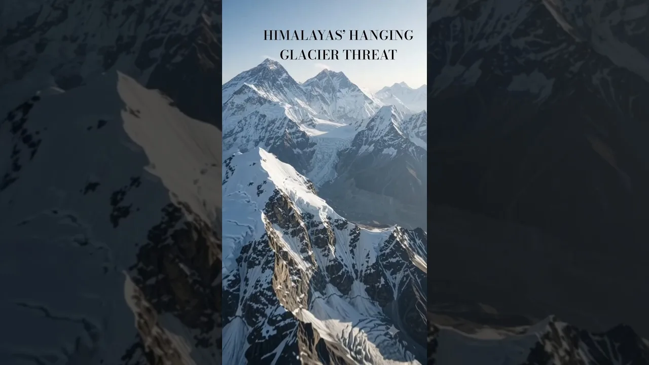
Table of Contents
- Why the Himalayas hanging glacier threat matters
- Case study: The Alaknanda Basin
- The 2026 study: methodology and implications
- Data Collection
- Key Outcomes
- Disaster management strategies
- 1. Monitoring and early‑warning systems
- 2. Community preparedness and education
- 3. Infrastructure resilience
- Role of climate change
- Policy and international cooperation
- Future research directions
- Conclusion
The Himalayas hanging glacier threat is a growing concern for millions living in the region. Unstable ice masses clinging to steep cliffs can detach without warning, triggering ice‑rock avalanches, debris flows, and flash floods that devastate communities downstream. This article explores the science behind these hazards, the latest research findings, and the strategies being implemented to mitigate the Himalayas hanging glacier threat across the Indian subcontinent.
- The Himalayas hanging glacier threat poses severe risks through rapid, high‑energy events that are difficult to predict.
- A 2026 study identified 219 hanging glaciers in Uttarakhand’s Alaknanda Basin, underscoring the scale of the Himalayas hanging glacier threat.
- Early‑warning systems, remote sensing, and community preparedness are essential tools to reduce the impact of the Himalayas hanging glacier threat.
- Climate change intensifies the Himalayas hanging glacier threat by accelerating ice melt and increasing instability.
- International and national policies are evolving to address the Himalayas hanging glacier threat through coordinated monitoring and disaster management plans.
Understanding the Himalayas hanging glacier threat begins with a look at the unique geomorphology that creates these precarious ice formations. Hanging glaciers are not typical valley glaciers; they cling to the vertical or near‑vertical faces of mountain ranges, often at elevations above the main ice sheet. Their formation is a result of differential erosion, where softer rock is worn away, leaving a steep cliff that supports a slab of ice. For detailed definitions, see the Wikipedia page on hanging glaciers. Because they are perched above the surrounding terrain, any loss of structural support can cause the entire mass to break away, generating a cascade of hazards.
Why the Himalayas hanging glacier threat matters
The Himalayas hanging glacier threat is not just an academic concern; it directly endangers lives, infrastructure, and livelihoods. When an unstable ice mass detaches, it can travel at speeds exceeding 100 km/h, incorporating rock debris along the way. The resulting ice‑rock avalanche can flatten forests, destroy bridges, and inundate villages with a torrent of water and sediment. In the Alaknanda Basin, a single event can affect downstream populations that rely on the river for agriculture, drinking water, and transportation. The Himalayas hanging glacier threat also impacts tourism, as trekking routes become unsafe, and regional economies suffer.
Historical records show that the Himalayas hanging glacier threat has been responsible for several catastrophic events. The 1970 Uttarakhand disaster, for example, was triggered by the sudden collapse of a hanging glacier, leading to a massive debris flow that claimed over 200 lives. More recent incidents, such as the 2021 Uttarakhand glacier break, highlight the continuing relevance of the Himalayas hanging glacier threat. The incident, reported by NDTV, illustrated how climate‑driven ice loss can destabilize previously stable formations, turning them into imminent hazards.
Case study: The Alaknanda Basin
The Alaknanda Basin, a tributary of the Ganges, concentrates many of the region’s hanging glaciers. A 2026 interdisciplinary study mapped 219 such glaciers, providing a comprehensive inventory that quantifies the Himalayas hanging glacier threat. The research employed satellite imagery, LiDAR data, and field verification to identify each formation’s location, size, and stability indicators. The study revealed that a significant proportion of these hanging glaciers are located within a few kilometers of major settlements, including the town of Joshimath and the pilgrimage city of Badrinath.
Key findings from the Alaknanda Basin research include:
- Over 70% of the identified hanging glaciers show signs of recent crevassing and surface melt‑water penetration, indicating heightened instability.
- Seasonal monsoon rains dramatically increase the Himalayas hanging glacier threat by adding water pressure to subglacial tunnels, which can lubricate the ice‑rock interface and facilitate faster detachment.
- Thermal monitoring stations placed on several of these glaciers recorded rapid temperature spikes during the pre‑monsoon summer, correlating with increased seismic activity that precedes break‑offs.
These findings have prompted local authorities to prioritize monitoring and mitigation measures, recognizing that the Himalayas hanging glacier threat is now a quantifiable risk rather than an abstract possibility.
The 2026 study: methodology and implications

The 2026 study, published in the Journal of Glaciology, employed a multi‑scale approach to assess the Himalayas hanging glacier threat. Researchers combined high‑resolution DEMs (Digital Elevation Models) derived from the Sentinel‑2 satellite constellation with ground‑truthing campaigns involving local glaciologists and mountaineers. The methodology included:
Data Collection
- Multi‑spectral satellite imagery for ice‑cover delineation.
- Thermomechanical modeling to predict stress accumulation zones.
- Seismic arrays installed in the basin to capture micro‑earthquakes associated with glacier movement.
Key Outcomes
The study’s inventory of 219 hanging glaciers provides a baseline for monitoring the Himalayas hanging glacier threat. It also identified 47 “high‑risk” formations where the likelihood of detachment within the next decade exceeds 30%. These high‑risk glaciers are concentrated along the steep ridges of the central Himalayan range, where the combination of thin ice, deep crevasses, and frequent melt‑water infiltration creates a perfect storm for the Himalayas hanging glacier threat.
The research underscores the urgency of integrating scientific data into disaster‑risk reduction policies. By quantifying the Himalayas hanging glacier threat, the study enables policymakers to allocate resources more efficiently, focusing on early‑warning system deployment and community education in the most vulnerable zones.
Disaster management strategies
Effective disaster management must address the Himalayas hanging glacier threat on multiple fronts. The following pillars form a comprehensive approach:
1. Monitoring and early‑warning systems
Modern monitoring technologies aim to mitigate the Himalayas hanging glacier threat by detecting precursory signals. Satellite‑based InSAR (Interferometric Synthetic Aperture Radar) can measure surface deformation with millimeter precision, while GNSS (Global Navigation Satellite System) stations provide real‑time positioning data. Additionally, acoustic sensors placed near glacier termini capture the sound of crevasse propagation, offering an early cue of imminent detachment.
Integration of these data streams into a unified early‑warning platform allows local authorities to issue timely alerts. The platform can trigger automated evacuation notices, suspend river traffic, and activate pre‑positioned emergency response teams, thereby reducing human loss and property damage associated with the Himalayas hanging glacier threat.
2. Community preparedness and education
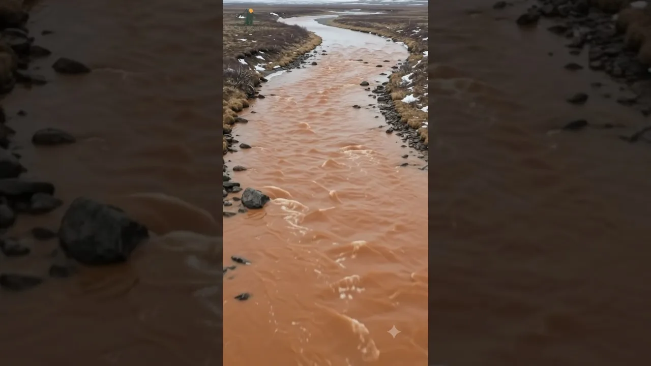
Even the most sophisticated technology cannot eliminate the Himalayas hanging glacier threat without an informed populace. Community‑based disaster risk reduction programs teach residents how to recognize warning signs, such as sudden river color changes, unusual turbidity, or the sound of approaching ice. Training sessions include evacuation route planning, first‑aid basics, and the proper use of emergency kits.
Educational campaigns also target tourists and trekkers, who may be unfamiliar with the Himalayas hanging glacier threat. Signage at trailheads and informational leaflets distributed by local guides help visitors understand the risks and the appropriate response when anomalies are observed.
3. Infrastructure resilience
Designing infrastructure that can withstand the impacts of the Himalayas hanging glacier threat is crucial. Bridges and culverts are now built with higher clearance to accommodate sudden flood surges. Retaining walls and sediment traps are installed upstream of vulnerable settlements to reduce the speed and volume of debris flows.
Furthermore, the placement of early‑warning sirens and redundant communication networks ensures that alerts reach remote villages even when primary networks fail. This layered approach to resilience directly addresses the Himalayas hanging glacier threat, protecting both lives and economic assets.
Role of climate change
Climate change intensifies the Himalayas hanging glacier threat by altering temperature and precipitation patterns. Warmer winters lead to more frequent freeze‑thaw cycles, which weaken the structural integrity of hanging ice. Increased summer meltwater infiltration creates subglacial water channels that can act as lubricants, facilitating faster glacier flow and increasing the probability of detachment.
Moreover, the upward shift of the snow line forces glaciers to retreat, exposing previously protected ice to direct solar radiation. This accelerated melt contributes to the Himalayas hanging glacier threat by creating thinner, more unstable ice masses that are prone to calving.
Projected climate scenarios indicate a 2‑3°C temperature rise over the next three decades for the Himalayan region. Such warming is expected to increase the frequency of events linked to the Himalayas hanging glacier threat, making proactive mitigation essential.
Policy and international cooperation
Addressing the Himalayas hanging glacier threat requires coordinated policy frameworks at both national and transboundary levels. India’s Ministry of Environment, Forests and Climate Change (MoEFCC) has launched the Himalayan Glacial Lake Outburst Flood (HLGOF) Monitoring Program, which now includes hanging glacier assessments. The program integrates scientific data, community feedback, and risk modeling to prioritize interventions.
Regional cooperation through the Himalaya Climate Change Adaptation Strategy (HICAS) facilitates data sharing among India, Nepal, Bhutan, and China. Joint monitoring stations and standardized risk indices help create a unified picture of the Himalayas hanging glacier threat across the entire mountain belt.
International bodies such as the United Nations Office for Disaster Risk Reduction (UNDRR) and the International Centre for Integrated Mountain Development (ICIMOD) provide technical assistance and funding for projects aimed at mitigating the Himalayas hanging glacier threat. Their involvement ensures that best practices are disseminated and that vulnerable communities receive the support needed to implement resilience measures.
Future research directions
While the 2026 study marks a significant step forward in quantifying the Himalayas hanging glacier threat, further research is needed to refine prediction capabilities. Emerging technologies such as machine‑learning‑driven pattern recognition can analyze massive datasets from satellite and ground sensors to identify subtle precursors of glacier detachment.
Long‑term monitoring stations that combine thermal, mechanical, and hydrologic sensors will provide a more holistic view of the processes driving the Himalayas hanging glacier threat. Additionally, field experiments that simulate melt‑water infiltration can help scientists understand how subglacial water pressure influences glacier stability.
Collaborative research initiatives that involve local communities as citizen scientists can expand data collection networks, ensuring that the Himalayas hanging glacier threat is monitored across a broader spatial and temporal scale.
Conclusion
The Himalayas hanging glacier threat represents one of the most dangerous geomorphological hazards in the modern era. The combination of rapid detachment, high‑energy flows, and densely populated downstream areas creates a perfect storm of risk. However, advances in remote sensing, early‑warning systems, and community preparedness are providing powerful tools to mitigate this threat. The 2026 study’s identification of 219 hanging glaciers in the Alaknanda Basin offers a concrete foundation for targeted interventions, while climate‑change projections emphasize the urgency of action.
By integrating scientific research, robust policy frameworks, and empowered communities, the Himalayan region can transform the Himalayas hanging glacier threat from an inevitable disaster into a manageable risk. Continued investment in monitoring, infrastructure resilience, and international cooperation will be essential to safeguard the lives and livelihoods of millions who depend on the Himalayan rivers for their survival.
Addressing the Himalayas hanging glacier threat today ensures a safer, more resilient future for the entire Himalayan ecosystem and the billions who call this majestic mountain range home.
Frequently Asked Questions
Hanging glaciers are ice masses clinging to steep mountain cliffs. They are dangerous because unstable ice can detach, triggering ice‑rock avalanches, debris flows, and flash floods that threaten downstream communities.
A 2026 study identified 219 hanging glaciers in Uttarakhand’s Alaknanda Basin, with 47 classified as high‑risk for imminent detachment.
Measures include satellite‑based monitoring (InSAR, GNSS), early‑warning systems, community education, resilient infrastructure, and coordinated regional policies under frameworks like HICAS and ICIMOD.