Blog
Aerial Photography: Mastering the Sky’s Lens

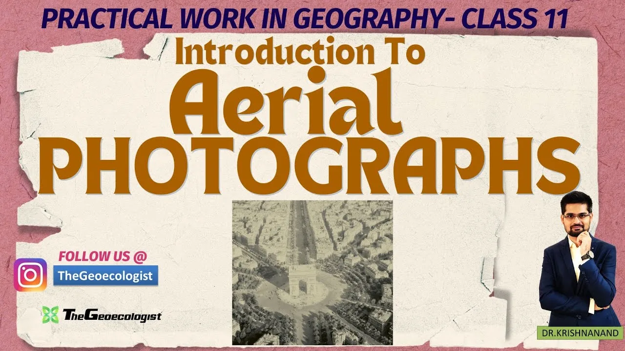
Table of Contents
Aerial Photography: The Cornerstone of Practical Geography
Aerial photography, the practice of capturing images of the Earth from airborne platforms, has become indispensable in modern geography education. It provides a high-resolution view that helps students understand spatial relationships, land-use patterns, and environmental changes from a perspective that ground-based observations cannot offer.
- Understand the basic definition and importance of Aerial photography.
- Know the three main types: vertical, low oblique, and high oblique.
- Master scale calculation for accurate measurements.
- Recognize exam relevance for CBSE, CUET, UGC NET, and UPSC.
Key Concepts and Terminology
In the NCERT Class 11 Geography curriculum, Chapter 6 is dedicated to Aerial photography, guiding students through the principles, techniques, and applications that transform a textbook concept into a practical skill.
Types of Aerial Photography
There are three primary types of Aerial photography: vertical, low oblique, and high oblique. Each type offers a different perspective and serves specific analytical needs.
Vertical Aerial photography captures the most accurate ground depiction, making it ideal for precise measurements and map creation.
Low oblique Aerial photography tilts the camera slightly downward, capturing the horizon line and enabling the creation of 3D terrain maps.
High oblique Aerial photography, with a steep angle, excludes the horizon and emphasizes landform patterns, making it useful for studying urban morphology.
Components and Scale Calculations
Components of Aerial photography include the principal point, fiducial marks, and scale calculation. Scale calculation, defined by the ratio of photo distance to ground distance, is critical for converting pixel measurements into real-world distances. In NCERT, students practice this with sample data sets.
Advantages Over Maps and Satellite Imagery
Advantages of Aerial photography over traditional maps and satellite imagery include higher resolution, frequent updates, and the capacity to capture seasonal variations in land cover.
Exam Relevance: CBSE, CUET, UGC NET, UPSC
For exam aspirants, understanding Aerial photography translates into answering questions about data sources, comparative analysis, and real-world case studies.
CBSE Class 11 students will encounter direct questions on types, components, and scale calculations in Aerial photography. CUET and UGC NET aspirants will face MCQs testing their ability to distinguish between different photographic techniques and their applications.
The UPSC optional geography paper often includes case studies where Aerial photography is used for disaster mapping, such as flood extents or post-earthquake damage assessment.
Practical Tips and Resources
In addition, Aerial photography can be integrated with GIS and remote sensing for advanced spatial analysis, a skill increasingly demanded in the job market. To master Aerial photography, students should practice interpreting real images, calculating scales, and correlating photographic data with ground truth.
Online resources like the official NASA website offer sample aerial images and tutorials that complement NCERT lessons. The Geoecologist’s bilingual videos further simplify these concepts.
Remember, Aerial photography is not just a textbook chapter; it is a dynamic tool that reveals the ever-changing tapestry of our planet. With a solid grasp of Aerial photography, you will be equipped to analyze spatial patterns, answer competitive exam questions, and contribute to practical geography projects.
Conclusion
By integrating the theoretical foundations from NCERT with hands‑on practice and modern GIS tools, students can transform Aerial photography from a learning module into a versatile skill set that serves academia, industry, Balance, and public service alike.
Frequently Asked Questions
Aerial photography involves capturing images of the Earth's surface from aircraft or drones, providing high-resolution data for mapping, land-use planning, and environmental monitoring.
Aerial photography offers finer spatial resolution, flexibility in timing, and the ability to capture seasonal changes, whereas satellite imagery provides broader coverage but may have lower detail.
Focus on understanding types of images, scale calculations, interpretation techniques, and real-world applications such as disaster mapping and urban growth analysis.