Blog
Regional Synthesis: Brian Berry’s Impact on Modern Geography

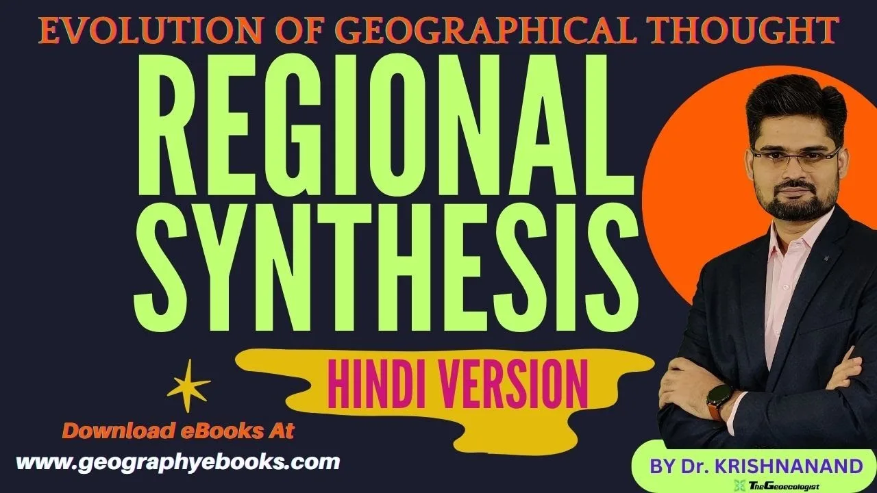
Table of Contents
- Regional Synthesis: The Core Concept
- Historical Roots of Regional Synthesis
- Brian Berry and the Quantitative Revolution
- Key Components of Regional Synthesis
- Spatial Analysis and Systemic Thinking in Regional Synthesis
- Quantitative Methods in Regional Synthesis
- Interdisciplinary Applications of Regional Synthesis
- Impact on Policy and Planning
- Modern Relevance of Regional Synthesis
- Conclusion: The Enduring Legacy of Regional Synthesis
- Further Resources
Regional Synthesis: The Core Concept
Regional synthesis is a transformative framework that integrates spatial, environmental, economic, and social dimensions into a unified analytical lens. It emerged during the mid‑20th century as a response to the need for a more systematic and quantitative approach to geography. By treating regions as dynamic systems, regional synthesis facilitates a deeper understanding of how physical landscapes and human activities interact to shape spatial patterns. This article delves into the origins, principles, and enduring influence of regional synthesis in contemporary geographic research and policy.
- Systematic integration of multiple geographic disciplines.
- Quantitative tools applied to spatial patterns.
- Dynamic view of regions as interrelated systems.
- Practical applications in planning and environmental management.
- Continued relevance in academia and professional practice.
Historical Roots of Regional Synthesis
The concept of regional synthesis traces back to the early 1950s, when geographers began to challenge descriptive traditions. The Quantitative Revolution introduced statistical and mathematical models, laying the groundwork for a more empirical discipline. Within this movement, regional synthesis evolved as a bridge between purely statistical methods and the holistic understanding of place. It emphasized that region is not merely a static area, but a complex network of interacting elements.
Brian Berry and the Quantitative Revolution
Brian Berry, a pivotal figure in the Quantitative Revolution, championed the use of rigorous, data‑driven techniques in geography. He argued that regional synthesis could reconcile the seemingly disparate aspects of human and physical geography. Berry’s work on central place theory and regional science exemplified how quantitative models could describe urban hierarchies and regional development patterns.饼
Berry’s seminal 1971 book, “Regional Synthesis“, crystallized the framework, offering a comprehensive guide to integrating spatial analysis with systems thinking. His approach remains a cornerstone of modern geographic methodology.
Key Components of Regional Synthesis
The framework of regional synthesis rests on several interlocking pillars:
Spatial Analysis
Spatial analysis uses geographic information systems (GIS), spatial statistics, and remote sensing to map and quantify patterns. In regional synthesis, these tools uncover relationships between location, scale, and processes, such as migration flows or resource distribution.
Systems Approach
Regions are viewed as interconnected systems comprising ecological, economic, and social subsystems. Regional synthesis examines feedback loops, hierarchical structures, and emergent properties that arise from these interactions.
Quantitative Methods
Regression analysis, gravity models, and network analysis provide the statistical backbone of regional synthesis. By testing hypotheses with data, researchers can validate theories about spatial organization and predict future trends.
Interdisciplinary Collaboration
Effective regional synthesis requires collaboration across economics, sociology, environmental science, and urban planning.烈
This collaboration ensures that geographic research informs policy and that policy objectives, in turn, shape research agendas.
Spatial Analysis and Systemic Thinking in Regional Synthesis
Spatial analysis is not merely about mapping; it’s a diagnostic tool that reveals the underlying mechanisms of spatial phenomena. When paired with systemic thinking, the discipline can model how regional shocks—such as climate change or economic crises—propagate through networks. The result is a predictive capability that is central to regional synthesis’s appeal.
Quantitative Methods in Regional Synthesis
Quantitative methods transform qualitative observations into measurable variables. For instance, the gravity model predicts interaction between cities based on population size and distance, illustrating how regional synthesis translates theory into practice. These models are integral to regional synthesis because they enable objective, replicable studies across diverse geographic contexts.
Interdisciplinary Applications of Regional Synthesis
From urban planning to environmental conservation, regional synthesis offers a versatile toolkit. Planners use the framework to design sustainable transportation networks, while ecologists apply it to assess habitat connectivity. In economics, it helps identify regional clusters and their competitive advantages. The breadth of applications underscores the interdisciplinary nature of regional synthesis.
Impact on Policy and Planning
Policy makers rely on the insights generated by regional synthesis to craft evidence‑based interventions. For example, regional economic development programs use regional synthesis data to target investment in lagging districts. Similarly, disaster risk reduction strategies incorporate regional synthesis models to predict areas most vulnerable to floods or landslides.
Modern Relevance of Regional Synthesis
Even as geographic information technology advances, the core principles of regional synthesis remain vital. The integration of रहता vectors Daten, machine learning, and big data analytics extends the reach of regional synthesis, allowing researchers to handle unprecedented spatial complexity. The framework’s flexibility ensures it adapts to new challenges such as urbanization pressures in megacities and global supply chain disruptions.
Conclusion: The Enduring Legacy of Regional Synthesis
Brian Berry’s pioneering vision of regional synthesis has reshaped how geographers conceptualize space. By marrying quantitative rigor with systems thinking, the framework provides a robust foundation for both academic inquiry and practical decision‑making. Its enduring relevance in policy, research, and education highlights the profound impact of Berry’s legacy on modern geography.
Further Resources
To deepen your understanding of regional synthesis, explore the following authoritative sources:
For students preparing for competitive exams such as UPSC Geography, UGC NET/JRF, or university courses, mastering the principles of regional synthesis is essential. The framework not only enriches academic knowledge but also equips future practitioners with the analytical tools necessary for tackling complex spatial challenges.
Frequently Asked Questions

Regional synthesis is an integrative framework that combines spatial analysis, systems thinking, and quantitative methods to study how physical and human factors interact within regions.
Brian Berry, a key figure in the Quantitative Revolution, formalized regional synthesis in the 1970s through his research on central place theory and regional science.
It is used in urban planning, environmental management, economic development, and policy formulation, often employing GIS, statistical modeling, and interdisciplinary collaboration.