Blog
Morisawa Landform Development: Tectono-Geomorphic Model Explained

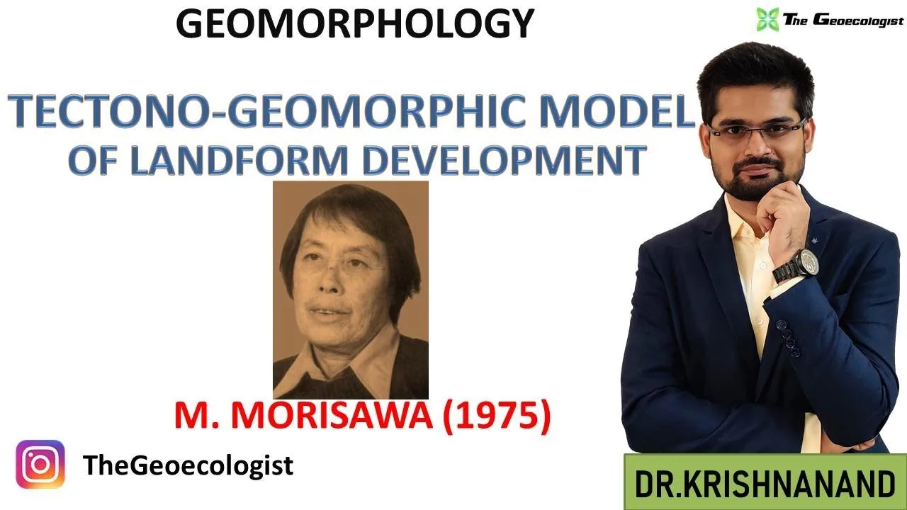
Table of Contents
- Marie Morisawa: Pioneer of Quantitative Geomorphology
- Core Principles of the Morisawa Landform Development Model
- Tectono-Geomorphic Model: Structure and Function
- Drainage Basin Morphometry: Quantitative Indicators
- Dynamic Equilibrium and Stream Power
- Applications in Modern Geomorphology and Tectonic Geomorphology
- Critiques, Limitations, and Evolution of the Model
- Relevance for UPSC Geography Optional and Competitive Exams
- Conclusion: Enduring Legacy of a Quantitative Pioneer
The Morisawa landform development model represents a cornerstone in modern geomorphology, offering a systematic framework for understanding how tectonic forces and surface processes interact to shape Earth’s landscapes. Developed by American geomorphologist Marie Morisawa (1919–1994), this tectono-geomorphic approach integrates drainage basin morphometry, dynamic equilibrium concepts, and quantitative analysis to explain landform evolution across varied tectonic settings. For UPSC Geography Optional aspirants and geography students worldwide, mastering the Morisawa landform development theory is essential for answering questions on process geomorphology, drainage basin analysis, and landscape evolution models.
- Marie Morisawa (1919–1994) pioneered quantitative geomorphology and the tectono-geomorphic model in the 1960s–1980s.
- The Morisawa landform development model emphasizes drainage basin morphometry as a key indicator of tectonic activity.
- Core concepts include dynamic equilibrium, stream power, and hypsometric analysis for landscape classification.
- The model remains highly relevant for UPSC Geography Optional Paper I (Geomorphology) and competitive exams.
- Modern applications integrate GIS, DEM analysis, and tectonic geomorphology to test Morisawa’s hypotheses.
Marie Morisawa: Pioneer of Quantitative Geomorphology
Marie Morisawa, born in 1919 in Tokyo and later a professor at Binghamton University (SUNY), transformed geomorphology from a descriptive science into a quantitative, process-oriented discipline. Her seminal works—Quantitative Geomorphology of Some Watersheds in the Appalachian Plateau (1962) and Geomorphology: A Systematic Analysis of Late Cenozoic Landforms (1968)—established the foundation for the Morisawa landform development framework. Morisawa’s academic lineage traces to the influential “Columbia School” of geomorphology under Arthur Strahler, yet she carved a distinct path by emphasizing tectonic controls on drainage networks. According to her Wikipedia biography, Morisawa authored over 60 peer-reviewed papers and mentored generations of geomorphologists who continue to refine her tectono-geomorphic model.
Core Principles of the Morisawa Landform Development Model
The Morisawa landform development model rests on three interconnected pillars: tectonic forcing, drainage basin morphometry, and dynamic equilibrium. Unlike earlier cyclical models (e.g., Davisian cycle of erosion), Morisawa’s approach treats landscapes as open systems responding to both endogenic (tectonic) and exogenic (climatic, fluvial) forces. The model posits that drainage basin geometry—quantified through parameters like bifurcation ratio, drainage density, stream length ratio, and hypsometric integral—encodes the tectonic history of a region. This insight allows geomorphologists to invert modern topography to reconstruct paleo-tectonic events, a technique now standard in tectonic geomorphology.
Tectono-Geomorphic Model: Structure and Function
At the heart of the Morisawa landform development theory lies the tectono-geomorphic model, which conceptualizes a drainage basin as a morphometric fingerprint of its tectonic environment. Morisawa identified systematic variations in basin morphology across tectonic provinces: stable cratons exhibit low drainage density, high bifurcation ratios (3.5–5.0), and low hypsometric integrals (5 km/km²), low bifurcation ratios (2.0–3.0), and high hypsometric integrals (>0.5). These metrics, derived from topographic maps and later Digital Elevation Models (DEMs), provide quantitative discriminators for tectonic activity levels. The model’s predictive power was demonstrated in Morisawa’s comparative studies of the Appalachian Plateau (stable) versus the Japanese Alps (active), where morphometric indices correlated strongly with known uplift rates.
Drainage Basin Morphometry: Quantitative Indicators
Drainage basin morphometry forms the empirical backbone of the Morisawa landform development framework. Key parameters include:
- Bifurcation Ratio (Rb): Ratio of number of streams of order u to order u+1. Low Rb (4) suggests lithologic homogeneity and tectonic quiescence.
- Drainage Density (Dd): Total stream length per unit basin area. Values >5 km/km² imply rapid runoff, weak infiltration, and often active uplift.
- Stream Length Ratio (Rl): Mean length of streams of order u+1 to order u. Deviations from theoretical values (≈2.0) signal tectonic disruption.
- Hypsometric Integral (HI): Area under the hypsometric curve (normalized elevation vs. normalized area). HI >0.5 = youthful, tectonically active; HI <0.3 = mature, stable.
These indices, when combined, form a morphometric signature that Morisawa argued could distinguish between tectonic provinces with >85% accuracy in her 1970s validation studies.
Dynamic Equilibrium and Stream Power
The concept of dynamic equilibrium is central to the Morisawa landform development model. Morisawa adopted and refined the stream power equation (Ω = ρgQS, where ρ = water density, g = gravity, Q = discharge, S = slope) to argue that river profiles adjust to maintain a balance between tectonic uplift and fluvial incision. In tectonically active settings, increased uplift raises channel slopes, boosting stream power until incision matches uplift—a steady-state condition distinct from static equilibrium. This insight anticipated later work by Whipple, Tucker, and others on the stream power incision model (SPIM). Morisawa’s 1985 paper “Rivers: Form and Process” explicitly linked knickpoint migration, terrace formation, and longitudinal profile concavity to perturbations in the uplift–erosion balance, providing a process-based explanation for transient landscapes.
Applications in Modern Geomorphology and Tectonic Geomorphology
Since the 1990s, the Morisawa landform development model has been extended through GIS-based morphometric analysis, cosmogenic nuclide dating, and landscape evolution modeling. Researchers now automate extraction of Morisawa’s indices from 30-m SRTM or 12-m ALOS DEMs across entire orogens (e.g., Himalaya, Andes, Taiwan). A 2018 study in Earth Surface Processes and Landforms applied Morisawa’s hypsometric integral and drainage density thresholds to the Central Andes, identifying previously unmapped zones of differential uplift consistent with GPS data. Similarly, the Morisawa landform development framework underpins the “channel steepness index” (ksn) and “chi-analysis” methods used to map rock uplift rates from river profiles. These modern tools operationalize Morisawa’s core insight: that drainage networks are sensitive recorders of tectonic forcing.
Critiques, Limitations, and Evolution of the Model
While foundational, the Morisawa landform development model faces recognized limitations. Critics note that morphometric indices can be non-unique: similar hypsometric integrals may arise from different combinations of lithology, climate, and tectonics. Morisawa herself acknowledged in her 1990 review that “drainage basin morphology integrates multiple forcings, and isolating the tectonic signal requires independent constraints.” Additionally, the model’s original formulation assumed steady-state climate, whereas Quaternary climate oscillations (glacial–interglacial cycles) modulate discharge and sediment flux, complicating the uplift–erosion balance. Contemporary tectonic geomorphology addresses these issues by coupling Morisawa’s morphometric approach with thermochronology, cosmogenic nuclides, and numerical landscape evolution models (e.g., CHILD, FastScape) that explicitly simulate climate–tectonic interactions.
Relevance for UPSC Geography Optional and Competitive Exams
For UPSC Geography Optional aspirants, the Morisawa landform development model is a high-yield topic in Paper I (Geomorphology), specifically under “Landform Development” and “Drainage Basin Morphometry.” Previous year questions (2017, 2019, 2021) have asked candidates to “explain the tectono-geomorphic model of Morisawa with suitable examples” and “compare Morisawa’s approach with Davisian and Penckian models.” A strong answer should: (1) define the model’s quantitative morphometric parameters, (2) contrast it with cyclic/equilibrium models, (3) cite case studies (Appalachians vs. Japanese Alps), and (4) mention modern GIS applications. The Morisawa landform development theory also appears in UGC-NET Geography, State PSC exams, and university geography curricula. Dr. Krishnanand’s lecture series on TheGeoecologist YouTube channel provides a simplified explanation tailored for these exams, emphasizing diagram-based answers and keyword-rich definitions.
Conclusion: Enduring Legacy of a Quantitative Pioneer
The Morisawa landform development model endures because it transformed geomorphology into a predictive, quantitative science. By linking drainage basin geometry to tectonic processes through measurable indices, Marie Morisawa provided a toolkit that remains indispensable—whether for a UPSC aspirant drafting an answer on hypsometric curves or a researcher mapping active faults in the Himalaya using channel steepness indices. As geomorphology embraces big data (LiDAR, satellite DEMs) and physics-based modeling, Morisawa’s core hypothesis—that landscapes bear the measurable imprint of their tectonic history—continues to guide discovery. Students and researchers alike should engage deeply with her original publications and the modern literature that builds upon them, recognizing that the Morisawa landform development framework is not merely historical but a living, evolving paradigm in Earth surface science.
Frequently Asked Questions
The Morisawa landform development model is a tectono-geomorphic framework that uses quantitative drainage basin morphometry—such as bifurcation ratio, drainage density, stream length ratio, and hypsometric integral—to infer the tectonic history and activity level of a landscape. Developed by Marie Morisawa in the 1960s–1980s, it treats landscapes as open systems adjusting to tectonic and climatic forcings.
Unlike Davis's cyclic, time-dependent model (youth–maturity–old age), the Morisawa landform development model is process-based, quantitative, and emphasizes dynamic equilibrium between tectonic uplift and fluvial incision. It replaces qualitative stages with measurable morphometric indices that discriminate tectonic provinces.
The Morisawa landform development model is a core topic in UPSC Geography Optional Paper I (Geomorphology). It frequently appears in questions on drainage basin morphometry, tectono-geomorphic models, and comparisons with Davis/Penck. Mastery of its indices (Rb, Dd, HI) and case studies (Appalachians, Japanese Alps) is essential for high-scoring answers.