Blog
Central Place Theory: Christaller’s Model Explained for UPSC Geography

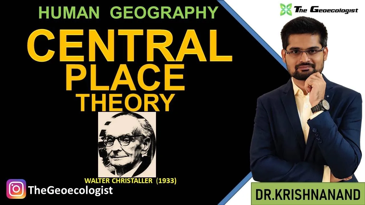
Table of Contents
- Historical Background of Central Place Theory
- Core Concepts of Central Place Theory
- Central Place
- Threshold
- Range
- Market Area and the Hexagonal Hypothesis
- Hierarchy of Central Places
- The Three Organizing Principles (K-Values)
- Marketing Principle (K = 3)
- Transport Principle (K = 4)
- Administrative Principle (K = 7)
- Assumptions of Central Place Theory
- Criticisms and Limitations
- Applications and Modern Relevance
- Urban and Regional Planning
- Retail Location Analysis
- Healthcare and Education Planning
- UPSC Geography Optional Relevance
- Central Place Theory in the Indian Context
- Comparison with August Lösch's Theory
- Key Takeaways for UPSC Preparation
- Frequently Asked Questions
- What is the main contribution of Walter Christaller to geography?
- How is Central Place Theory relevant for UPSC Geography Optional?
- What are the differences between k=3, k=4, and k=7 in Central Place Theory?
Central Place Theory remains one of the most influential models in human geography, offering a systematic framework for understanding the spatial distribution of urban settlements and service provision. Developed by German geographer Walter Christaller in 1933, this theoretical construct explains how cities, towns, and villages arrange themselves in a hierarchical pattern across the landscape. For UPSC Geography Optional aspirants and students of urban geography, mastering Central Place Theory is essential for answering questions on settlement geography, urban hierarchy, and regional planning.
- Central Place Theory explains the spatial arrangement, size, and number of settlements based on the provision of goods and services.
- Walter Christaller published the theory in 1933 in his seminal work “Die zentralen Orte in Süddeutschland” (The Central Places in Southern Germany).
- Key concepts include threshold, range, central place, hinterland, and the hexagonal market area.
- Three organizing principles: marketing principle (k=3), transport principle (k=4), and administrative principle (k=7).
- The model assumes an isotropic plane — uniform terrain, population distribution, and purchasing power.
- Despite criticisms, Central Place Theory remains foundational for understanding urban systems and retail location analysis.
Historical Background of Central Place Theory
Walter Christaller (1893–1969), a German geographer, developed Central Place Theory during his doctoral research at the University of Erlangen under the supervision of Robert Gradmann. His 1933 dissertation, later published as “The Central Places in Southern Germany,” analyzed the settlement pattern of Bavaria and Württemberg. Christaller observed that towns of similar size and function were spaced at regular intervals, suggesting an underlying geometric order.
The theory gained international recognition after its translation into English by Carlisle Baskin in 1966, titled “Central Places in Southern Germany.” This translation made Central Place Theory accessible to Anglo-American geographers, sparking extensive empirical testing and theoretical refinement. Notable scholars like August Lösch independently developed similar ideas in his 1940 work “The Economics of Location,” though Lösch’s approach was more economic while Christaller’s was explicitly geographic.
For UPSC aspirants, it is crucial to note that Central Place Theory emerged from the German school of geography, which emphasized deterministic spatial laws — a contrast to the possibilist French school. This historical context often appears in Geography Optional Paper I questions on the evolution of geographic thought.
Core Concepts of Central Place Theory
Central Place
A central place is a settlement that provides goods and services to its surrounding population. The primary function of a central place is to act as a market center for its hinterland. In Christaller’s framework, every settlement is a central place to some degree, but higher-order places offer a wider array of specialized services.
Threshold
Threshold refers to the minimum population or income required to support a particular good or service. It represents the demand side of the equation. For example, a convenience store may need a threshold of 500 people, while a specialized cardiac hospital may require 500,000. Higher-order goods have higher thresholds.
Range
Range (or range of a good) is the maximum distance a consumer is willing to travel to purchase a good or service. It represents the supply side. Range varies by product type: daily necessities like bread have a short range, while luxury goods or specialized medical services have a long range. The concept of range is critical for defining the market area of a central place.
Market Area and the Hexagonal Hypothesis
Christaller argued that the ideal market area for a central place is a hexagon. Circles leave gaps (unserved areas) or overlap (competition), while squares and triangles do not nest efficiently in a hierarchy. Hexagons tessellate perfectly, allowing complete coverage of the plane without gaps or overlaps. This geometric insight is the hallmark of Central Place Theory and distinguishes it from earlier location theories.
Hierarchy of Central Places
Settlements form a hierarchy based on the number and type of functions they perform. At the bottom are hamlets offering low-order goods (groceries, primary schools). Above them are villages (adding a pharmacy, secondary school), then towns (hospital, college), cities (university, specialized retail), and finally metropolises (international airports, stock exchanges, research institutes). Each higher-order center provides all lower-order goods plus additional specialized functions.
The Three Organizing Principles (K-Values)
Christaller identified three principles governing the nesting of hexagonal market areas, each producing a distinct k-value representing the number of lower-order centers served by a higher-order center.
Marketing Principle (K = 3)
Under the marketing principle, each higher-order center serves three lower-order centers (itself plus two others). The market area of a higher-order center encompasses one-third of the market area of each of six neighboring lower-order centers, plus its own full market area: 1 + 6 × (1/3) = 3. This principle maximizes the number of central places and minimizes travel distance for consumers. It produces the largest number of settlements and is considered the most “efficient” for consumers.
Transport Principle (K = 4)
The transport principle arranges centers along straight transport routes to minimize transportation costs. Each higher-order center serves four lower-order centers (itself plus half of six neighbors: 1 + 6 × 1/2 = 4). Lower-order centers are located at the midpoint of each side of the higher-order hexagon, aligning settlements along linear transport corridors. This principle reflects real-world settlement patterns along rivers, roads, and railways.
Administrative Principle (K = 7)
The administrative principle ensures that each higher-order center completely controls seven lower-order centers (itself plus six full neighbors: 1 + 6 = 7). Market areas do not split across administrative boundaries, facilitating efficient governance and resource allocation. This principle is most relevant for political and administrative geography, explaining the nesting of districts, tehsils, and states.
Assumptions of Central Place Theory
Christaller’s model rests on several simplifying assumptions that create an isotropic plane:
- Uniform terrain: Flat, featureless plain with no physical barriers (mountains, rivers).
- Uniform population distribution: Even density and purchasing power across the region.
- Uniform transport network: Equal accessibility in all directions; transport cost proportional to distance.
- Rational economic behavior: Consumers minimize travel; entrepreneurs maximize profit.
- Perfect competition: No monopolies; free entry and exit of firms.
- Hierarchical nesting: Higher-order centers provide all lower-order goods.
- Single-purpose trips: Consumers visit one center per trip for a specific good.
These assumptions are rarely met in reality, which leads to the major criticisms of Central Place Theory.
Criticisms and Limitations
While Central Place Theory provides a powerful normative framework, geographers have identified significant limitations:
- Static model: Does not account for temporal dynamics, urban growth, or technological change (e.g., e-commerce reducing range).
- Over-simplification: Real landscapes have physical barriers, resource concentrations, and historical path dependencies.
- Rigid hierarchy: Real settlements often specialize (e.g., mining towns, tourist resorts) rather than offering a full nested hierarchy.
- Ignores agglomeration economies: Clustering of firms creates benefits not captured by the model.
- Consumer behavior: Assumes single-purpose trips; modern consumers engage in multi-purpose trip chaining.
- Political boundaries: Administrative borders distort market areas (e.g., state boundaries in India).
Despite these critiques, Central Place Theory remains a foundational heuristic. As geographer Brian Berry noted, it serves as a “benchmark” against which real-world deviations can be measured.
Applications and Modern Relevance
Central Place Theory continues to inform multiple domains:
Urban and Regional Planning
Planners use the hierarchy concept to allocate services (healthcare, education, administrative offices) efficiently. India’s National Urban Policy and Smart Cities Mission implicitly draw on central place logic to develop counter-magnet towns and reduce primacy in metropolitan regions.
Retail Location Analysis
Commercial geographers apply threshold and range concepts to determine optimal store locations. GIS-based tools like Esri Business Analyst incorporate central place principles for market area delineation.
Healthcare and Education Planning
The World Health Organization’s guidelines for health service planning use population thresholds and travel-time ranges directly derived from Christaller’s framework.
UPSC Geography Optional Relevance
For UPSC aspirants, Central Place Theory is a high-yield topic in Paper I (Human Geography) and Paper II (Regional Planning). Questions frequently ask for:
- Diagrammatic representation of k=3, k=4, k=7 nesting
- Comparison with Lösch’s theory
- Applicability to Indian context (e.g., “Examine the relevance of Central Place Theory in explaining the urban hierarchy of the Gangetic plain”)
- Critique with reference to developing countries
Central Place Theory in the Indian Context
India presents a fascinating test case for Central Place Theory. The Indo-Gangetic plain, with its relatively uniform terrain, high population density, and historical settlement continuity, approximates Christaller’s isotropic assumptions better than most regions. Studies by geographers like R.L. Singh and Mohan have identified hexagonal patterns in the spacing of market towns in Uttar Pradesh and Bihar.
However, significant deviations exist:
- Primacy: Mega-cities like Mumbai, Delhi, and Kolkata dominate the hierarchy, violating the regular spacing predicted by the theory.
- Historical legacy: Ancient cities (Varanasi, Madurai) and colonial hill stations (Shimla, Darjeeling) disrupt the theoretical hierarchy.
- Transport corridors: The Golden Quadrilateral and Dedicated Freight Corridors create linear development (k=4 pattern) rather than hexagonal nesting.
- Administrative creation: District headquarters and state capitals often follow the administrative principle (k=7).
This nuanced understanding — recognizing both the explanatory power and the limitations of Central Place Theory — is exactly what UPSC examiners reward in Geography Optional answers.
Comparison with August Lösch’s Theory
August Lösch, a German economist, independently developed a similar theory in 1940. Key differences:
| Aspect | Christaller | Lösch |
|---|---|---|
| Discipline | Geography | Economics |
| Focus | Spatial arrangement of settlements | Profit maximization of firms |
| Market area shape | Hexagon (fixed) | Variable (hexagon, square, circle) |
| Hierarchy | Discrete, nested levels | Continuous, flexible |
| Consumer behavior | Minimize travel | Maximize utility |
For UPSC, remember: Christaller = normative, geographic, hierarchical; Lösch = positive, economic, flexible.
Key Takeaways for UPSC Preparation
- Memorize the three k-values (3, 4, 7) and their principles (marketing, transport, administrative).
- Practice drawing hexagonal nesting diagrams for each principle — diagram questions are common.
- Understand threshold vs. range with concrete examples (e.g., threshold for a PHC = 30,000; range = 5-10 km).
- Prepare a structured critique: 3 theoretical strengths, 3 empirical limitations, 3 Indian context deviations.
- Link to contemporary schemes: RURBAN Mission, Smart Cities, Aspirational Districts Programme.
- Reference Christaller (1933), Lösch (1940), Berry (1967), and Indian geographers (R.L. Singh, K. Siddhartha).
Frequently Asked Questions
What is the main contribution of Walter Christaller to geography?
Walter Christaller’s main contribution is Central Place Theory, a normative model explaining the size, number, and spatial distribution of urban settlements based on their function as service centers for surrounding hinterlands. Published in 1933, it introduced the concepts of threshold, range, and hexagonal market areas, and identified three organizing principles (k=3, k=4, k=7).
How is Central Place Theory relevant for UPSC Geography Optional?
Central Place Theory is a core topic in the Settlement Geography section of Paper I and Regional Planning in Paper II. UPSC frequently asks questions on the theory’s assumptions, k-values with diagrams, criticisms, and applicability to India. It also connects to current affairs topics like urban hierarchy, smart cities, and rural-urban continuum.
What are the differences between k=3, k=4, and k=7 in Central Place Theory?
K=3 (Marketing Principle): Higher-order center serves 3 lower-order centers; maximizes consumer convenience. K=4 (Transport Principle): Higher-order center serves 4 lower-order centers; aligns settlements on transport routes. K=7 (Administrative Principle): Higher-order center serves 7 lower-order centers; ensures administrative boundaries match market areas without fragmentation.
Frequently Asked Questions
Walter Christaller's main contribution is Central Place Theory, a normative model explaining the size, number, and spatial distribution of urban settlements based on their function as service centers for surrounding hinterlands. Published in 1933, it introduced the concepts of threshold, range, and hexagonal market areas, and identified three organizing principles (k=3, k=4, k=7).
Central Place Theory is a core topic in the Settlement Geography section of Paper I and Regional Planning in Paper II. UPSC frequently asks questions on the theory's assumptions, k-values with diagrams, criticisms, and applicability to India. It also connects to current affairs topics like urban hierarchy, smart cities, and rural-urban continuum.
K=3 (Marketing Principle): Higher-order center serves 3 lower-order centers; maximizes consumer convenience. K=4 (Transport Principle): Higher-order center serves 4 lower-order centers; aligns settlements on transport routes. K=7 (Administrative Principle): Higher-order center serves 7 lower-order centers; ensures administrative boundaries match market areas without fragmentation.