Blog
Movements of Ocean Water: Complete NCERT Class 11 Geography Guide

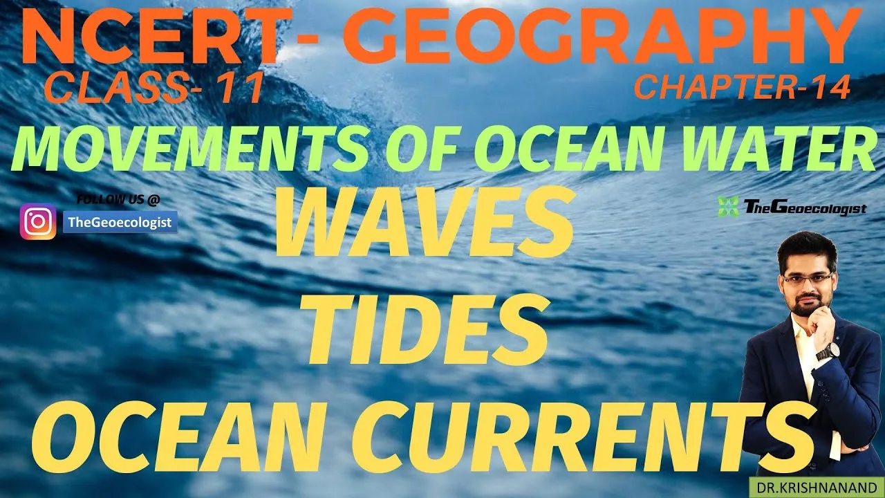
Table of Contents
- Understanding Waves: The Surface Manifestation of Movements of Ocean Water
- Anatomy of a Wave
- Wave Classification and Behavior
- Significance of Wave Dynamics
- Tides: Gravitational Drivers of Movements of Ocean Water
- Tidal Classification Systems
- Tidal Dynamics in the Indian Context
- Ecological and Economic Importance
- Ocean Currents: The Planetary Conveyor Belt of Movements of Ocean Water
- Driving Mechanisms
- Global Current Systems: Warm vs. Cold
- Indian Ocean Current Regime
- Climate Modulation: How Movements of Ocean Water Shape Global Weather
- El Niño-Southern Oscillation (ENSO)
- Indian Ocean Dipole (IOD)
- Atlantic Meridional Overturning Circulation (AMOC)
- Examination Focus: UPSC and CBSE Question Patterns
- Previous Year Question Analysis
- High-Yield Topics for Revision
- Pedagogical Resources: TheGeoecologist Approach
- Conclusion: Mastering Movements of Ocean Water for Academic Excellence
The movements of ocean water represent one of the most dynamic and influential natural processes shaping our planet’s climate, coastlines, and marine ecosystems. For CBSE Class 11 Geography students and UPSC aspirants, Chapter 14 of the NCERT textbook provides the foundational framework for understanding these complex hydrodynamic phenomena. This comprehensive guide breaks down waves, tides, and ocean currents with exam-oriented precision, incorporating insights from TheGeoecologist’s bilingual video lectures to ensure conceptual clarity.
- Waves are surface disturbances primarily driven by wind energy, characterized by crests, troughs, wavelength, and wave height.
- Tides are periodic sea-level fluctuations caused by gravitational interactions between Earth, Moon, and Sun, classified as spring, neap, diurnal, and semi-diurnal types.
- Ocean currents are large-scale, directional seawater flows driven by wind patterns, thermohaline circulation, and the Coriolis effect, critically influencing global climate systems.
- The movements of ocean water directly impact the Indian Monsoon, coastal economies, navigation, and renewable energy potential.
- UPSC examinations frequently test knowledge of major currents (Gulf Stream, Kuroshio, Oyashio), tidal energy sites (Gulf of Khambhat, Gulf of Kutch), and climate phenomena like El Niño and La Niña.
Understanding Waves: The Surface Manifestation of Movements of Ocean Water
Waves constitute the most visible movements of ocean water, representing the transfer of energy across the air-sea interface. According to NCERT Class 11 Geography, wind is the primary generating force, though submarine earthquakes, volcanic eruptions, and landslides can produce seismic sea waves known as tsunamis.
Anatomy of a Wave
Every wave possesses four measurable components essential for examination purposes:
- Crest: The highest point of the wave above the still water level.
- Trough: The lowest point below the still water level.
- Wavelength: The horizontal distance between two successive crests (or troughs), typically ranging from 60 to 150 meters for wind-generated waves.
- Wave Height: The vertical distance between crest and trough, determining wave energy and coastal impact potential.
Wave Classification and Behavior
NCERT categorizes waves based on their origin and water depth relative to wavelength:
- Deep-water waves: Occur when water depth exceeds half the wavelength; orbital motion of water particles is circular.
- Shallow-water waves: Occur when depth is less than 1/20th of wavelength; particle motion becomes elliptical, causing wave breaking.
- Tsunamis: Often incorrectly called “tidal waves,” these are seismic sea waves with wavelengths exceeding 100 km and periods of 10-60 minutes. The 2004 Indian Ocean tsunami, triggered by a 9.1 magnitude earthquake off Sumatra, reached heights of 30 meters and claimed over 230,000 lives across 14 countries.
Significance of Wave Dynamics
The movements of ocean water through wave action drive critical coastal processes:
- Coastal erosion and deposition: Waves sculpt cliffs, sea arches, stacks, and beaches through hydraulic action, abrasion, and longshore drift.
- Renewable energy: Wave energy converters (WECs) like the Pelamis and Oyster devices harness kinetic energy; India’s theoretical wave energy potential is estimated at 40,000 MW along its 7,516 km coastline.
- Navigation and safety: Significant wave height (SWH) data from buoys and satellites (e.g., ISRO’s SARAL-AltiKa) guide maritime operations.
Tides: Gravitational Drivers of Movements of Ocean Water
Tides represent the most predictable movements of ocean water, governed by Newton’s law of universal gravitation. The Moon contributes approximately 68% of tidal force despite the Sun’s greater mass, due to its proximity (inverse cube law of tidal force).
Tidal Classification Systems
NCERT identifies two primary classification frameworks:
Based on Lunar Phase Alignment
- Spring Tides: Occur during syzygy (New Moon and Full Moon) when Sun, Moon, and Earth align. Tidal range is 20-30% higher than average. The term “spring” derives from Old English “springan” (to rise), not the season.
- Neap Tides: Occur during quadrature (First and Third Quarter Moons) when solar and lunar gravitational forces act at right angles, partially canceling each other. Tidal range is minimized.
Based on Daily Frequency
- Semi-diurnal tides: Two high and two low tides of approximately equal height each lunar day (24 hours 50 minutes). Predominant along India’s east coast and most of the Atlantic coastline.
- Diurnal tides: One high and one low tide per lunar day. Observed in the Gulf of Mexico, Java Sea, and parts of the Indian Ocean.
- Mixed tides: Two highs and two lows of unequal height; common along the west coast of North America and parts of India’s west coast.
Tidal Dynamics in the Indian Context
India’s coastline exhibits remarkable tidal diversity. The Gulf of Khambhat (Cambay) experiences a maximum tidal range of 11 meters, among the highest globally, making movements of ocean water a prime candidate for tidal barrage projects. The Gulf of Kutch follows with ranges up to 8 meters. The Ministry of New and Renewable Energy (MNRE) estimates India’s tidal energy potential at 12,455 MW, primarily concentrated in these two gulfs and the Sundarbans.
For authoritative tidal data and predictions, the Wikipedia article on Tides provides comprehensive global coverage including harmonic analysis methods used by hydrographic offices worldwide.
Ecological and Economic Importance
- Estuarine and mangrove ecosystems: Tidal flushing maintains salinity gradients, nutrient cycling, and sediment transport critical for Sundarbans mangroves (UNESCO World Heritage Site) and Pichavaram mangroves.
- Fisheries and navigation: Traditional fishing communities time operations with tidal cycles; major ports like Kandla, Mumbai, and Kolkata require high tides for deep-draft vessel entry.
- Tidal energy: The 3.75 MW Durgaduani Creek mini-tidal plant in Sundarbans (West Bengal) demonstrates pilot-scale viability.
Ocean Currents: The Planetary Conveyor Belt of Movements of Ocean Water
Ocean currents constitute the most climatically significant movements of ocean water, functioning as Earth’s thermal redistribution system. They transport approximately 1.3 petawatts of heat poleward, equivalent to the output of 1.3 million nuclear power plants.
Driving Mechanisms
NCERT identifies three primary forces:
- Primary forces: Planetary winds (Trade Winds, Westerlies) impart momentum via wind stress on the ocean surface, generating wind-driven circulation (Ekman transport).
- Thermohaline circulation: Density gradients from temperature (thermal) and salinity (haline) differences drive deep-ocean currents. North Atlantic Deep Water (NADW) formation and Antarctic Bottom Water (AABW) are key components.
- Coriolis effect: Earth’s rotation deflects moving water to the right in the Northern Hemisphere and left in the Southern Hemisphere, creating gyres and western boundary current intensification.
Global Current Systems: Warm vs. Cold
The movements of ocean water in major current systems follow predictable patterns:
Major Warm Currents (Equatorward → Poleward)
| Current | Region | Climatic Impact |
|---|---|---|
| Gulf Stream / North Atlantic Drift | North Atlantic | Warms Western Europe; London (51°N) has milder winters than Calgary (51°N) |
| Kuroshio Current | North Pacific | Warms Japan’s east coast; supports Kuroshio-Oyashio convergence fishing grounds |
| Agulhas Current | South Indian Ocean | Influences South African climate; retroflection affects global thermohaline circulation |
| East Australian Current | South Pacific | Warms eastern Australia; featured in “Finding Nemo” |
Major Cold Currents (Poleward → Equatorward)
| Current | Region | Climatic Impact |
|---|---|---|
| Labrador Current | North Atlantic | Cools Newfoundland; creates fog at Grand Banks (rich fishing) |
| California Current | North Pacific | Cools California coast; upwelling supports marine productivity |
| Peru (Humboldt) Current | South Pacific | World’s most productive upwelling system; anchors anchovy fishery |
| Benguela Current | South Atlantic | Upwelling off Namibia/South Africa; diamond mining on seabed |
| West Australian Current | South Indian Ocean | Cools Western Australia; influences desert climate |
The Wikipedia entry on Ocean Currents offers detailed maps and quantitative transport data (in Sverdrups, 1 Sv = 10⁶ m³/s) for all major currents.
Indian Ocean Current Regime
The Indian Ocean exhibits unique seasonal reversal due to monsoon winds:
- Summer Monsoon (June-September): Southwest Monsoon Drift flows eastward; Somali Current flows northeastward at 3-4 knots with intense upwelling.
- Winter Monsoon (December-March): Northeast Monsoon Drift flows westward; Somali Current reverses direction.
- Equatorial Countercurrents: The Wyrtki Jets (spring and fall) are transient eastward flows along the equator.
Climate Modulation: How Movements of Ocean Water Shape Global Weather
El Niño-Southern Oscillation (ENSO)
ENSO represents the most consequential interannual variability in movements of ocean water, disrupting Pacific trade winds and thermocline structure:
- El Niño: Weakening of trade winds reduces upwelling off Peru, warming eastern Pacific SSTs by 2-3°C. Causes drought in Australia/Indonesia, floods in Peru/California, and weakens the Indian Monsoon (negative correlation: 60% of El Niño years correlate with below-normal Indian rainfall).
- La Niña: Enhanced trade winds intensify upwelling, cooling eastern Pacific. Typically strengthens the Indian Monsoon (1988, 1999, 2010, 2020 were La Niña years with above-normal rainfall).
- ENSO Neutral: Transitional phases; monsoon performance depends on other factors like Indian Ocean Dipole (IOD).
Indian Ocean Dipole (IOD)
Discovered in 1999, the IOD is an independent climate mode modulating movements of ocean water in the Indian Ocean:
- Positive IOD: Warmer western Indian Ocean (Arabian Sea), cooler eastern Indian Ocean (near Sumatra). Enhances monsoon rainfall over India (e.g., 1997, 2019).
- Negative IOD: Reverse pattern; suppresses monsoon.
Atlantic Meridional Overturning Circulation (AMOC)
Recent studies (Caesar et al., 2021, Nature Geoscience) indicate AMOC has weakened by ~15% since the mid-20th century due to Greenland meltwater freshening the North Atlantic. A collapse would drastically alter movements of ocean water, cooling Europe by 5-10°C and shifting tropical rain belts southward.
Examination Focus: UPSC and CBSE Question Patterns
Previous Year Question Analysis
- UPSC CSE 2021: “Explain the factors responsible for the origin of ocean currents. How do they influence regional climates?” (15 marks)
- UPSC CSE 2019: “El Niño and La Niña impact on Indian Monsoon.” (10 marks)
- CBSE 2023: “Distinguish between spring tides and neap tides. Explain the significance of tides for human activities.” (5 marks)
- UPSC CSE 2017: “Account for the variation in the tidal range across different coastal regions.” (15 marks)
High-Yield Topics for Revision
- Current-climate linkages: Gulf Stream → European climate; Humboldt → Atacama Desert aridity; Kuroshio-Oyashio convergence → world’s richest fishing grounds.
- Tidal energy sites: Gulf of Khambhat, Gulf of Kutch, Sundarbans — know installed capacity and potential.
- Upwelling zones: Eastern boundary currents (California, Peru, Canary, Benguela) — mechanism (Ekman transport + Coriolis) and fisheries significance.
- Tsunami warning systems: IOTWMS (Indian Ocean Tsunami Warning and Mitigation System), DART buoys, INCOIS Hyderabad role.
Pedagogical Resources: TheGeoecologist Approach
TheGeoecologist’s YouTube channel (Krishna Kumar) delivers bilingual (Hindi-English) explanations aligned with NCERT pedagogy. Key differentiators include:
- Map-based current tracing using atlas references (Oxford Student Atlas recommended).
- Mnemonic devices for current sequences (e.g., “Gulf Stream Can Never Be Cold” for North Atlantic gyre).
- Previous year question integration with model answer structures.
- Current affairs linkage: Recent AMOC slowdown studies, IOD forecasts from IMD/BoM.
Students can access structured paid courses at thegeoecologist.com featuring chapter-wise modules, test series, and answer writing practice.
Conclusion: Mastering Movements of Ocean Water for Academic Excellence
The movements of ocean water — waves, tides, and currents — form an interconnected planetary system governing climate, ecosystems, and human civilization. For NCERT Class 11 Geography students, conceptual clarity on generating mechanisms, classification systems, and climatic impacts is non-negotiable. For UPSC aspirants, the ability to synthesize these processes with current affairs (ENSO forecasts, AMOC research, tidal energy policy) distinguishes top-rank answers.
Recommended study sequence: (1) NCERT textbook reading with atlas mapping, (2) TheGeoecologist video lectures for bilingual reinforcement, (3) Previous year question practice with timed answer writing, (4) Monthly current affairs compilation focusing on ocean-climate updates from IMD, INCOIS, and WMO reports.
Remember: The ocean covers 71% of Earth’s surface and absorbs 90% of excess anthropogenic heat. Understanding its movements is not merely an academic exercise — movements of ocean water is essential for navigating the climate challenges of the 21st century.
Frequently Asked Questions
The three main types are waves (surface disturbances caused by wind/seismic activity), tides (periodic sea-level changes from lunar/solar gravity), and ocean currents (large-scale directional flows driven by wind, density differences, and Coriolis effect).
Spring tides occur during New Moon and Full Moon (syzygy) when Sun, Moon, and Earth align, producing maximum tidal range. Neap tides occur during quarter moons (quadrature) when solar and lunar gravitational forces counteract, producing minimum tidal range.
The Gulf of Khambhat (11m range) and Gulf of Kutch (8m range) in Gujarat have India's highest tidal energy potential due to their funnel-shaped geography amplifying tidal ranges, with estimated combined potential of 12,455 MW per MNRE.