

Blog
Gurgaon flooding: Why the City Drowns After Heavy Rain

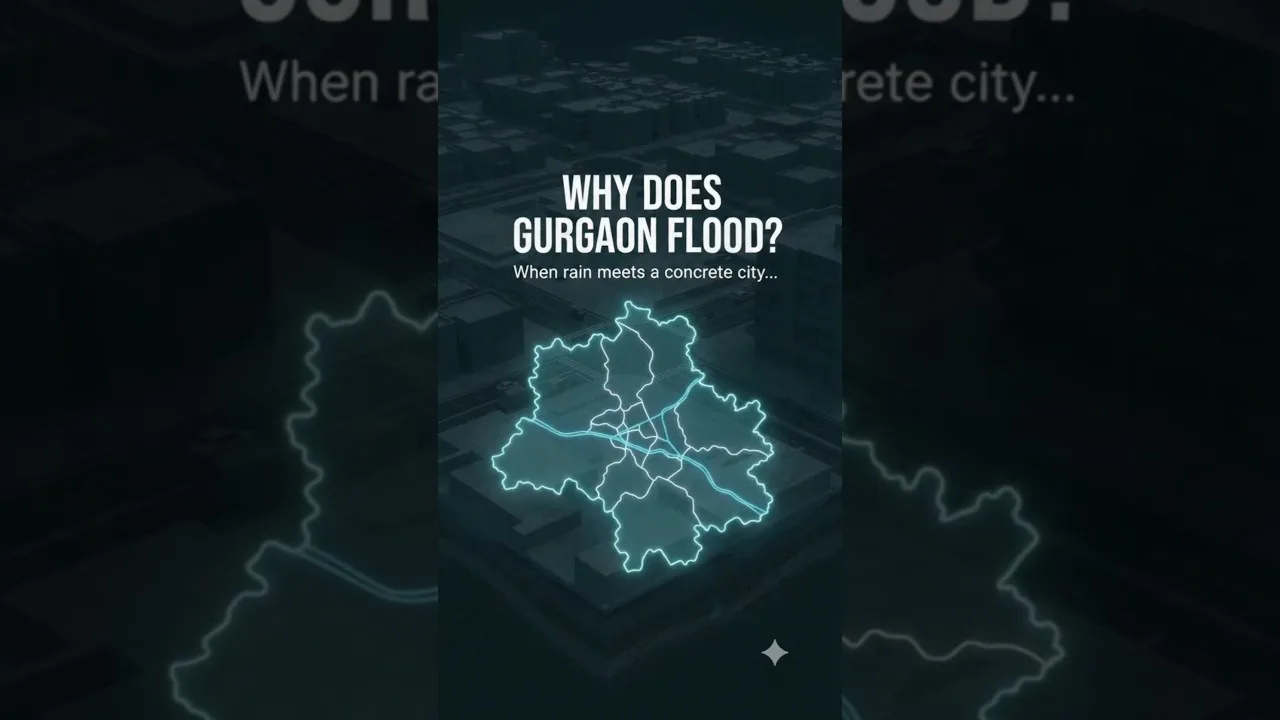
Table of Contents
- Understanding the Causes of Gurgaon Flooding
- Impervious Surfaces and Reduced Infiltration
- Inadequate Drainage Network
- Encroachment on Natural Waterways
- Historical Flood Events and Data
- 2016 Gurgaon Flood
- 2020 Monsoon Havoc
- 2023 Record Rainfall
- Impact on Urban Life and Economy
- Transportation Disruptions
- Health Hazards
- Economic Losses
- Mitigation Strategies and Government Initiatives
- Sustainable Urban Drainage Systems (SUDS)
- Rainwater Harvesting and Green Spaces
- Policy Reforms and Enforcement
- Future Outlook and Recommendations
- Climate Resilience Planning
- Community Participation
- Technology Integration
Gurgaon flooding has become a recurring nightmare for residents every monsoon season, as intense rainfall transforms streets into rivers and overwhelms the city’s drainage infrastructure. Located in the National Capital Region, Gurgaon (officially renamed Gurugram) has witnessed explosive urban growth over the past two decades, converting permeable land into concrete jungles. According to the Wikipedia entry on Gurgaon, the city’s population surged from under 200,000 in 2001 to over 1.5 million by 2023, dramatically increasing impervious surfaces. This rapid expansion has reduced natural infiltration, turning heavy rain into immediate surface runoff that chokes outdated storm‑water drains.
- Impervious surfaces now cover >70% of Gurgaon’s built‑up area.
- Average annual rainfall is ~600 mm, but 24‑hour extremes exceed 250 mm.
- Storm‑water drainage capacity is designed for only 15 mm/hour.
- Encroachment on natural nullahs has reduced flow width by up to 60%.
- Economic losses from a single severe flood event can reach ₹2,000 crore.
Understanding the Causes of Gurgaon Flooding
The phenomenon of Gurgaon flooding is not merely a meteorological issue; Gurgaon flooding is a symptom of flawed urban planning. Three core drivers amplify runoff and overwhelm drainage:
Impervious Surfaces and Reduced Infiltration
Rapid construction of high‑rise complexes, highways, and parking lots has replaced soil and vegetation with concrete and asphalt. Studies cited by the India Water Portal show that infiltration rates have dropped from 20 mm/hour in 2000 to less than 5 mm/hour today. Consequently, >80% of rainfall becomes surface runoff during heavy spells. – a key consideration for Gurgaon flooding.
Inadequate Drainage Network
The existing storm‑water system, largely laid out in the 1990s, was designed for a population of ~500,000. With current densities, pipe diameters are insufficient, and many sections suffer from siltation and poor maintenance. A 2022 audit by the Municipal Corporation of Gurugram found that 40% of primary drains operate at less than 50% capacity during peak monsoon.
Encroachment on Natural Waterways
Gurgaon’s topography includes several seasonal nullahs (e.g., Badshahpur, Najafgarh) that historically conveyed excess water to the Yamuna. Unauthorized construction, dumping of debris, and road widening have narrowed these channels. Satellite imagery from 2018 to 2023 reveals a 55% reduction in the cross‑sectional area of the Badshahpur nullah, directly correlating with increased waterlogging in adjoining sectors.
Historical Flood Events and Data

Documenting past Gurgaon flooding episodes helps quantify the trend and guide mitigation.
2016 Gurgaon Flood
On July 20, 2016, a cloudburst dumped 210 mm of rain in three hours, submerging MG Road and Cyber City. The Times of India reported that over 12,000 vehicles were stranded and economic activity halted for two days.
2020 Monsoon Havoc
In August 2020, successive low‑pressure systems produced cumulative rainfall of 480 mm over five days. Sectors 29, 31, and 45 experienced water depths exceeding 1 meter, prompting the National Disaster Response Force (NDRF) to deploy rescue teams.
2023 Record Rainfall
The monsoon of 2023 broke a 30‑year record with a single‑day high of 265 mm on July 18. Real‑time gauges from the India Meteorological Department (IMD) showed peak runoff rates of 35 mm/hour, far surpassing drainage design limits.
Impact on Urban Life and Economy
The repercussions of Gurgaon flooding extend beyond inconvenience.
Transportation Disruptions
Major arteries like NH‑48 and the Gurugram‑Faridabad Road become impassable, causing average commute delays of 2–3 hours. The Delhi Metro’s Rapid Metro line also faces signal failures during waterlogging.
Health Hazards
Stagnant water breeds mosquitoes, raising dengue and malaria cases. Post‑flood surveys by the Gurugram Health Department noted a 22% spike in vector‑borne illnesses in September 2022.
Economic Losses
A joint study by TERI and the Confederation of Indian Industry estimated that a severe flood event can cost the city ₹1,800–₂,200 crore in lost productivity, property damage, and emergency response.
Mitigation Strategies and Government Initiatives
Addressing Gurgaon flooding requires a mix of engineering, policy, and community action.
Sustainable Urban Drainage Systems (SUDS)
Implementing permeable pavements, bioswales, and retention ponds can restore infiltration. Pilot projects in Sector 29 have shown a 35% reduction in peak runoff during test rains.
Rainwater Harvesting and Green Spaces
Mandatory rooftop harvesting for buildings >500 m² and the development of urban forests (e.g., Aravali Biodiversity Park) help capture excess water. The National Disaster Management Authority recommends a minimum of 20% green cover in new townships.
Policy Reforms and Enforcement
Strict enforcement of zoning laws, demolition of illegal encroachments on nullahs, and periodic desilting of drains are essential. The Gurugram Metropolitan Development Authority (GMDA) has drafted a 2025‑2030 Master Plan that includes a dedicated flood‑resilience budget of ₹500 crore.
Future Outlook and Recommendations
Looking ahead, climate projections indicate a 10–15% increase in extreme rainfall events by 2050. Proactive measures are vital.
Climate Resilience Planning
Integrating climate data into urban design—such as elevating critical infrastructure and designing flood‑plains—can mitigate future risk. The Indian Institute of Technology Delhi has proposed a GIS‑based flood‑risk model for Gurgaon, currently under pilot testing.
Community Participation
Resident welfare associations can organize regular clean‑up drives of drains and nullahs, fostering ownership and early detection of blockages.
Technology Integration
Real‑time sensor networks linked to automated sluice gates can dynamically regulate flow. Smart city initiatives in Gurugram are already experimenting with IoT‑based water level monitors in Sector 44.
In summary, Gurgaon flooding is a complex challenge rooted in rapid urbanization, inadequate drainage, and loss of natural water pathways. By combining sustainable engineering, stringent policy, and community engagement, the city can transition from a flood‑prone landscape to a resilient, livable metropolis.
Frequently Asked Questions
Gurgaon flooding results from increased impervious surfaces, inadequate storm‑water drainage, and encroachment on natural nullahs, which together boost surface runoff and overwhelm existing infrastructure.
In July 2023, Gurgaon recorded a single‑day rainfall of 265 mm, causing waterlogging in multiple sectors, traffic paralysis, and estimated economic losses exceeding ₹2,000 crore.
Effective measures include adopting sustainable urban drainage systems, enforcing no‑encroachment zones on nullahs, expanding green cover, upgrading drainage capacity, and implementing real‑time monitoring technology.
