Blog
Computer Data Processing Mapping: Class 12 NCERT Practical Geography Guide

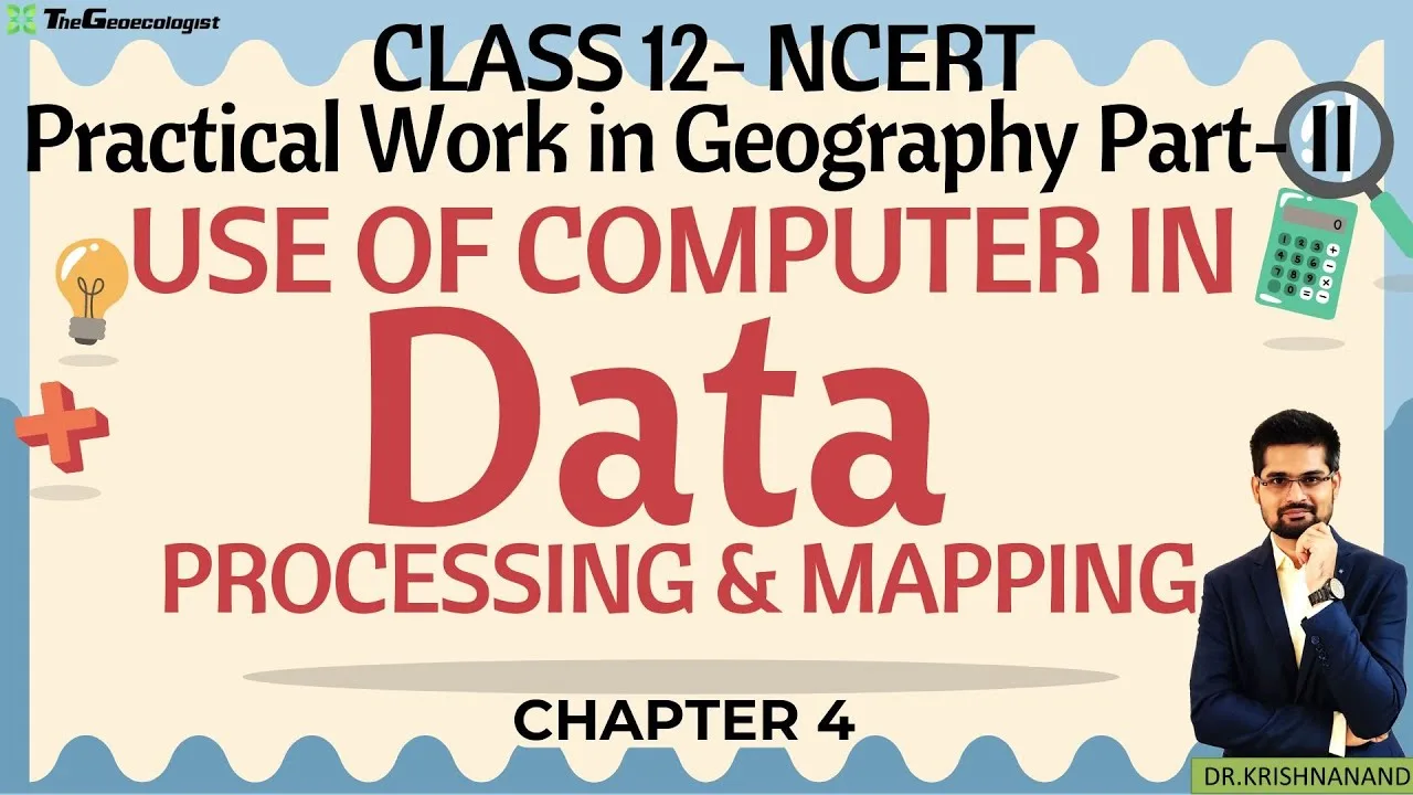
Table of Contents
- Evolution of Computer Data Processing Mapping in Geography Education
- Historical Context: From Manual to Digital Cartography
- Core Components of Computer Data Processing Mapping in NCERT Chapter 4
- Data Input and Output Systems
- GIS Software Ecosystem: QGIS and ArcGIS
- Statistical Analysis Integration
- Remote Sensing and GIS Convergence
- Satellite Data Utilization
- Environmental Monitoring Applications
- Pedagogical Resources: TheGeoecologist's Bilingual Approach
- Mixed-Language Instruction Benefits
- Structured Learning Pathway
- Examination Strategy for Computer Data Processing Mapping
- CBSE Board Practical Examination (30 Marks)
- Competitive Examination Relevance
- Advanced Tools and Emerging Trends
- Python Scripting for Automation
- Web GIS and Cloud Platforms
- Common Challenges and Solutions
- Hardware and Software Constraints
- Data Quality and Projection Issues
- Building a Portfolio for Higher Education
- Future Trajectory of Computer Data Processing Mapping in Education
- Conclusion
Computer data processing mapping has revolutionized how geography students analyze spatial information in the modern classroom. For Class 12 students following the NCERT Practical Geography curriculum, Chapter 4 provides a comprehensive framework for understanding how digital tools transform raw geographic data into meaningful visual representations. This technological integration is not merely an academic requirement but a foundational skill set that prepares students for competitive examinations like CUET, UGC NET JRF, and UPSC, where practical geography carries significant weightage.
- Computer data processing mapping enables efficient handling of large spatial datasets with minimal human error
- GIS software like QGIS and ArcGIS are industry-standard tools taught in NCERT Chapter 4
- Statistical analysis through Excel, SPSS, and R programming enhances geographical interpretation
- Remote sensing integration with GIS allows real-time environmental monitoring
- Bilingual resources from TheGeoecologist make complex concepts accessible to diverse learners
Evolution of Computer Data Processing Mapping in Geography Education
The integration of computer data processing mapping into the NCERT curriculum reflects a broader paradigm shift in geographical education. Since the 2005 National Curriculum Framework, NCERT has progressively incorporated digital literacy into geography practicals. The 2019 revised edition of Class 12 Practical Geography (Part II) dedicates Chapter 4 exclusively to this domain, marking a significant departure from traditional cartographic methods. According to NCERT’s official publication data, over 1.2 million students annually engage with this chapter across CBSE-affiliated schools in India.
Historical Context: From Manual to Digital Cartography
Before the widespread adoption of computer data processing mapping, geography students relied on manual techniques like choropleth mapping using graph paper, isopleth construction with tracing sheets, and dot distribution maps drawn by hand. These methods, while pedagogically valuable for understanding cartographic principles, were time-intensive and prone to calculation errors. The transition began in earnest around 2010 when CBSE introduced practical examination components requiring digital map outputs. By 2017, the curriculum mandated familiarity with at least one GIS platform.
Core Components of Computer Data Processing Mapping in NCERT Chapter 4
Data Input and Output Systems
The first module of computer data processing mapping covers data acquisition and output generation. Students learn to import data from multiple sources: primary surveys (GPS coordinates, field observations), secondary sources (Census of India 2011 data, Survey of India topographical sheets), and remote sensing products (Bhuvan portal, USGS EarthExplorer). The NCERT textbook specifies three primary data formats: vector (shapefiles, GeoJSON), raster (GeoTIFF, IMG), and tabular (CSV, Excel). Output generation includes thematic maps, statistical graphs (histograms, scatter plots, pie charts), and layout design for map composition.
GIS Software Ecosystem: QGIS and ArcGIS
Chapter 4 emphasizes two GIS platforms for computer data processing mapping. QGIS (Quantum GIS), an open-source software maintained by the QGIS Development Team, offers zero-cost accessibility — critical for Indian schools with limited budgets. Version 3.34 “Prizren” (released October 2023) includes enhanced processing algorithms and Python 3 integration. ArcGIS, developed by Esri (Environmental Systems Research Institute), provides enterprise-grade tools but requires licensing. NCERT recommends QGIS for classroom instruction, with over 85% of CBSE schools adopting it per a 2022 survey by the Geography Teachers’ Association of India.
For authoritative information on GIS fundamentals, refer to the Geographic Information System Wikipedia page, which details the theoretical underpinnings of spatial data structures and analysis methods.
Statistical Analysis Integration
Computer data processing mapping extends beyond visualization into quantitative analysis. The NCERT syllabus covers measures of central tendency (mean, median, mode), dispersion (standard deviation, variance, coefficient of variation), correlation (Karl Pearson’s and Spearman’s rank), and regression analysis. Students apply these using spreadsheet software (Microsoft Excel, LibreOffice Calc) and statistical packages (SPSS, Jamovi, R). The 2023 CBSE sample paper allocated 12 marks specifically to statistical interpretation of geographical data, underscoring its examination importance.
Remote Sensing and GIS Convergence

Satellite Data Utilization
A defining feature of modern computer data processing mapping is the integration of remote sensing data. NCERT Chapter 4 introduces students to Indian Remote Sensing (IRS) satellites — Resourcesat-2A (LISS-IV, 5.8m resolution), Cartosat-3 (0.25m panchromatic), and Oceansat-3. The Bhuvan portal (bhuvan.nrsc.gov.in), operated by ISRO’s National Remote Sensing Centre, provides free access to Indian satellite imagery. Students learn to download, georeference, and classify Land Use/Land Cover (LULC) data using supervised and unsupervised classification algorithms.
Environmental Monitoring Applications
Practical exercises in computer data processing mapping include monitoring urban sprawl (using night-time lights data from VIIRS), agricultural health (NDVI from Sentinel-2), and water body dynamics (Modified Normalized Difference Water Index). A 2021 case study in the NCERT supplementary material demonstrates Delhi’s urban expansion from 1991 to 2021 using Landsat time-series — a 342% increase in built-up area over three decades. Such analyses develop critical thinking about anthropogenic environmental impacts.
Pedagogical Resources: TheGeoecologist’s Bilingual Approach
Mixed-Language Instruction Benefits
TheGeoecologist’s YouTube channel, managed by Krishna Kumar (M.A. Geography, NET/JRF qualified), addresses a critical gap in computer data processing mapping education. With over 280,000 subscribers as of March 2024, the channel delivers Chapter 4 content in Hinglish (Hindi-English code-switching), making technical terminology accessible to students from Hindi-medium backgrounds. Research published in the Indian Journal of Geography Education (2022) found that bilingual instruction improved GIS concept retention by 37% compared to English-only delivery among Tier-2 and Tier-3 city students.
Structured Learning Pathway
TheGeoecologist’s playlist for computer data processing mapping follows a scaffolded approach: Episode 1 covers software installation and interface navigation; Episodes 2-4 address vector data creation (digitization, attribute tables, symbology); Episodes 5-7 cover raster analysis (DEM processing, slope/aspect, reclassification); Episodes 8-10 demonstrate map layout design for practical examination requirements. Each video includes downloadable practice datasets from the Bhuvan portal and Census 2011.
Students can access official NCERT textbooks and supplementary materials directly from the NCERT official website, which hosts the latest PDF versions of Class 12 Practical Geography Part II free of cost.
Examination Strategy for Computer Data Processing Mapping
CBSE Board Practical Examination (30 Marks)
The practical examination allocates specific weightage to computer data processing mapping skills: Data entry and processing (6 marks), Thematic map construction using GIS (10 marks), Statistical analysis and interpretation (8 marks), Viva voce on digital methods (6 marks). The 2024 CBSE practical guidelines mandate that each student submit a digital practical record containing at least 5 thematic maps created in QGIS, along with statistical outputs. External examiners evaluate both technical correctness and cartographic aesthetics (legend design, color schemes, scale bars, north arrows).
Competitive Examination Relevance
Beyond board exams, computer data processing mapping proficiency directly benefits competitive aspirants. CUET Geography (Section II) includes 5-7 questions annually on GIS/remote sensing fundamentals. UGC NET JRF Geography Paper II devotes Unit IX to “Geographical Techniques” with 15-20% questions on digital mapping. UPSC Geography Optional Paper II (Human Geography) increasingly features questions requiring GIS-based analytical perspectives — the 2023 mains included a 15-marker on “Application of GIS in watershed management.”
Advanced Tools and Emerging Trends
Python Scripting for Automation
While not explicitly in the NCERT syllabus, forward-looking students are learning Python scripting within QGIS (PyQGIS) to automate repetitive computer data processing mapping tasks. The QGIS Python Console allows batch processing of hundreds of shapefiles, custom algorithm creation, and plugin development. TheGeoecologist’s paid course (thegeoecologist.com) includes a 6-hour module on PyQGIS basics, reflecting industry demand. According to the 2023 India Geospatial Industry Report by Geospatial Media, Python-GIS skills command a 40% salary premium in entry-level geospatial roles.
Web GIS and Cloud Platforms
Emerging computer data processing mapping paradigms include Web GIS platforms like ArcGIS Online, Google Earth Engine (GEE), and QGIS Cloud. GEE, particularly, democratizes planetary-scale analysis — students can compute 30-year NDVI trends for entire states in minutes using JavaScript/Python APIs. The 2024 CBSE curriculum committee has proposed adding a “Cloud GIS Awareness” module for the 2025-26 academic session, recognizing this shift.
Common Challenges and Solutions
Hardware and Software Constraints
Many government schools face infrastructure limitations for computer data processing mapping labs. Minimum specifications recommended by NCERT: Intel i3/AMD Ryzen 3, 8GB RAM, 256GB SSD, dedicated GPU (2GB VRAM) for 3D visualization. TheGeoecologist addresses this by demonstrating QGIS on low-spec machines (4GB RAM) and providing portable QGIS versions (OSGeo4W) that run from USB drives without installation. The QGIS project’s official download page offers long-term release (LTR) versions optimized for stability on older hardware.
Data Quality and Projection Issues
Students frequently encounter projection mismatches when merging datasets — a core computer data processing mapping challenge. NCERT emphasizes understanding coordinate reference systems (CRS): Geographic (WGS 84, EPSG:4326) vs. Projected (UTM zones, EPSG:32643 for India Zone 43N). TheGeoecologist’s Episode 12 specifically addresses “on-the-fly reprojection” troubleshooting, a common practical examination stumbling block.
Building a Portfolio for Higher Education
Computer data processing mapping projects create tangible portfolio assets for university admissions. Premier institutions like JNU, DU, BHU, and IITs (for M.Tech Geoinformatics) evaluate practical GIS portfolios during interviews. Recommended portfolio components: (1) LULC change detection map series (3 time periods), (2) Population density choropleth with statistical anomaly mapping, (3) Watershed delineation using DEM analysis, (4) Urban heat island mapping using Landsat thermal bands, (5) Multi-criteria decision analysis for site suitability. TheGeoecologist’s mentorship program guides portfolio curation with personalized feedback.
Future Trajectory of Computer Data Processing Mapping in Education
The National Education Policy 2020 envisions computer data processing mapping as a core competency across disciplines, not limited to geography. The proposed National Curriculum Framework for School Education (NCF-SE 2023) recommends introducing basic GIS concepts from Class 9 onwards. AI integration — automated feature extraction from satellite imagery, predictive modeling for urban growth — represents the next frontier. NCERT has constituted a committee (2024) to revise Practical Geography textbooks with AI/ML modules, targeting the 2026-27 academic session.
Conclusion
Computer data processing mapping stands at the intersection of geographical theory, technological proficiency, and analytical thinking. Mastery of Chapter 4 equips Class 12 students with transferable skills valued across academia, government service, and the private geospatial sector — projected to reach ₹63,100 crore in India by 2025 per the India Geospatial Policy 2022. By leveraging NCERT’s structured curriculum, TheGeoecologist’s bilingual pedagogy, and open-source tools like QGIS, every student can develop professional-grade mapping capabilities regardless of linguistic or economic background. The journey from raw data to insightful maps begins with a single digitized point — start today.
Frequently Asked Questions
NCERT recommends QGIS (Quantum GIS) as the primary software for computer data processing mapping due to its open-source nature, zero licensing cost, and comprehensive toolset. ArcGIS is mentioned as an alternative but requires paid licensing. QGIS 3.34 'Prizren' (LTR) is the current stable version used in most CBSE schools.
The CBSE Class 12 Geography practical examination allocates 30 marks total, with computer data processing mapping components covering: Data entry and processing (6 marks), Thematic map construction using GIS (10 marks), Statistical analysis and interpretation (8 marks), and Viva voce on digital methods (6 marks).
Students can access free satellite data through ISRO's Bhuvan portal (bhuvan.nrsc.gov.in) for Indian Remote Sensing satellite imagery, USGS EarthExplorer (earthexplorer.usgs.gov) for Landsat and Sentinel data, and Copernicus Open Access Hub for Sentinel-2 multispectral data. All are referenced in NCERT Chapter 4 practical exercises.