Blog
Landforms and Evolution: Complete NCERT Class 11 Geography Guide

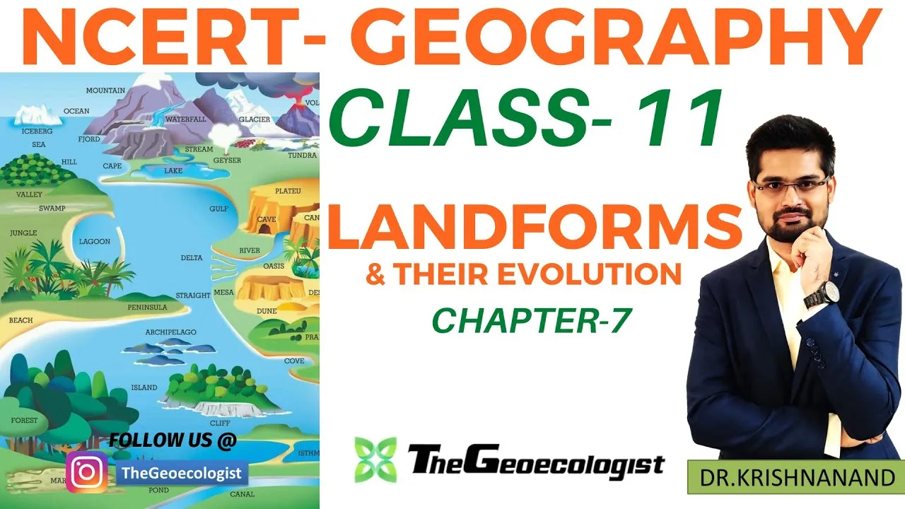
Table of Contents
- Understanding Landforms and Evolution in Physical Geography
- Fluvial Landforms and Evolution: River Processes
- Erosional Fluvial Landforms
- Depositional Fluvial Landforms
- Glacial Landforms and Evolution: Ice Sculpting
- Erosional Glacial Landforms
- Depositional Glacial Landforms
- Aeolian Landforms and Evolution: Wind Action in Deserts
- Erosional Aeolian Landforms
- Depositional Aeolian Landforms
- Coastal Landforms and Evolution: Wave Dynamics
- Erosional Coastal Landforms
- Depositional Coastal Landforms
- Karst Landforms and Evolution: Limestone Landscapes
- Surface Karst Landforms
- Subsurface Karst Landforms
- Significance of Landforms and Evolution for Competitive Exams
- Study Tips for Mastering Landforms and Evolution
- Conclusion
Landforms and Evolution is a cornerstone chapter in NCERT Geography Class 11 (Chapter 7) that explains how natural forces sculpt Earth’s surface over geological time. From the mighty Himalayas carved by rivers to the Thar Desert shaped by wind, understanding landforms and evolution processes is essential for CBSE board exams, UPSC Civil Services, and other competitive examinations. This comprehensive guide covers fluvial, glacial, aeolian, coastal, and karst landforms with detailed explanations, diagrams references, and exam-focused insights.
- Landforms and Evolution explains the dynamic interplay between endogenic (internal) and exogenic (external) forces shaping Earth’s crust.
- Rivers, glaciers, wind, waves, and groundwater create distinctive erosional and depositional features.
- NCERT Class 11 Chapter 7 is critical for map-based questions in CBSE and conceptual questions in UPSC Prelims/Mains.
- Key terms like ‘जलोढ़ निक्षेप’ (alluvial deposits) and ‘नदी द्वारा निर्मित स्थलरूप’ (fluvial landforms) aid bilingual learners.
- Real-world examples: Sundarbans Delta, Matterhorn, Barchan dunes, Ajanta-Ellora caves.
Understanding Landforms and Evolution in Physical Geography
The study of landforms and evolution falls under geomorphology, a branch of physical geography that examines the origin, development, and classification of landforms. According to the Wikipedia definition of landform, a landform is a natural feature of the solid surface of the Earth. The evolution of these features operates through two primary processes: erosion (wearing away) and deposition (laying down of sediment).
NCERT Geography Class 11 Chapter 7, titled “Landforms and Their Evolution,” systematically categorizes these processes by the dominant geomorphic agent: running water (fluvial), moving ice (glacial), wind (aeolian), sea waves (coastal), and groundwater (karst). The chapter aligns with the CBSE syllabus for 2024-25 and forms the basis for questions in UPSC Geography Optional, State PSC exams, and SSC CGL.
Fluvial Landforms and Evolution: River Processes
Fluvial processes dominate landforms and evolution in humid and sub-humid regions. Rivers perform three interconnected functions: erosion, transportation, and deposition. The energy of a river depends on its velocity, volume, and gradient, which change from source to mouth.
Erosional Fluvial Landforms
In the upper course (mountainous stage), vertical erosion dominates, creating:
- V-shaped Valleys: Steep-sided valleys formed by downcutting; the cross-profile resembles the letter ‘V’. Example: Indus Gorge near Nanga Parbat.
- Waterfalls: Formed when a river flows over a resistant rock layer underlain by softer rock. Differential erosion creates a plunge pool. Famous examples: Jog Falls (Karnataka), Niagara Falls (USA/Canada).
- Potholes: Cylindrical holes drilled into rocky riverbeds by swirling pebbles in eddies. Common in the Narmada River bed near Bhedaghat.
- Interlocking Spurs: Alternating ridges projecting into the valley floor, forcing the river to meander.
Depositional Fluvial Landforms
In the middle and lower courses, reduced gradient causes deposition, forming:
- Floodplains: Flat, fertile lands adjacent to rivers formed by lateral erosion and overbank deposition. The Indo-Gangetic Plain is one of the world’s largest floodplains, supporting over 400 million people.
- Natural Levees: Raised banks formed by deposition of coarse sediment during floods. They act as natural embankments.
- Deltas: Triangular deposits at river mouths where sediment load exceeds the sea’s capacity to remove it. The Sundarbans Delta (Ganga-Brahmaputra) is the world’s largest delta, spanning ~10,000 km² and a UNESCO World Heritage Site since 1987.
- Meanders and Oxbow Lakes: Sinuous bends in the lower course; cutoff meanders form oxbow lakes.
- Alluvial Fans and Cones: Fan-shaped deposits where streams emerge from mountains onto plains. Common in the Himalayan foothills (Bhabar and Terai regions).
The Hindi term ‘नदी द्वारा निर्मित स्थलरूप‘ (river-formed landforms) is frequently used in bilingual classrooms to reinforce these concepts.
Glacial Landforms and Evolution: Ice Sculpting
Glaciers are powerful agents of landforms and evolution in high latitudes and altitudes. Covering ~10% of Earth’s land surface today (down from ~30% during the Last Glacial Maximum ~20,000 years ago), glaciers erode through plucking and abrasion.
Erosional Glacial Landforms
- Cirques (Corries): Armchair-shaped hollows at glacier heads where ice accumulates and rotates. The Nanda Devi Sanctuary contains classic cirques.
- Horns and Arêtes: Horns are sharp, pyramidal peaks formed by cirque erosion on three or more sides (e.g., Matterhorn, Switzerland; Mount Kailash, Tibet). Arêtes are knife-edge ridges between two cirques.
- U-shaped Valleys (Glacial Troughs): Steep-sided, flat-floored valleys contrasting with fluvial V-valleys. Example: Yosemite Valley, USA; Kashmir Valley.
- Hanging Valleys: Tributary valleys left ‘hanging’ above the main glacial trough after the main glacier erodes deeper.
- Fjords: Drowned glacial troughs along coastlines. Norway’s fjords (e.g., Geirangerfjord) are iconic examples.
Depositional Glacial Landforms
- Moraines: Accumulations of glacial till (unsorted debris). Types: lateral (sides), medial (junction of two glaciers), terminal (snout), and ground moraines.
- Drumlins: Smooth, elongated, egg-shaped hills of till, oriented parallel to ice flow. The ‘basket of eggs’ topography in County Down, Ireland, is a classic drumlin field.
- Eskers: Long, sinuous ridges of sand and gravel deposited by meltwater streams flowing in tunnels beneath stagnant ice.
- Outwash Plains (Sandurs): Broad, flat plains of stratified drift beyond the terminal moraine. Common in Iceland (e.g., Skeiðarársandur).
- Kames and Kettles: Kames are mounds of sediment deposited in depressions on stagnant ice; kettles are depressions left by melting buried ice blocks.
Aeolian Landforms and Evolution: Wind Action in Deserts
Aeolian processes drive landforms and evolution in arid and semi-arid regions covering ~33% of Earth’s land surface. Wind erodes by deflation (removal of loose particles) and abrasion (sandblasting).
Erosional Aeolian Landforms
- Mushroom Rocks (Pedestal Rocks): Rocks with narrow bases and broad tops due to concentrated abrasion near the ground (0-1m height). Found in the Thar Desert, Rajasthan.
- Yardangs: Streamlined, elongated ridges aligned with prevailing winds, carved from softer rock. The Lut Desert, Iran, has massive yardangs visible from space.
- Deflation Basins (Blowouts): Shallow depressions formed by wind removing fine material. The Qattara Depression, Egypt (-133m below sea level), is partly deflationary.
- Ventifacts: Rocks faceted and polished by wind-blown sand.
Depositional Aeolian Landforms
- Sand Dunes: Mounds of sand shaped by wind. Types:
- Barchans: Crescent-shaped dunes with horns pointing downwind; form where sand supply is limited and wind is unidirectional. Common in the Thar Desert.
- Transverse Dunes: Long ridges perpendicular to wind direction; abundant sand supply.
- Longitudinal (Seif) Dunes: Long ridges parallel to wind; bidirectional wind regime.
- Star Dunes: Pyramidal dunes with multiple arms; complex wind patterns.
- Loess: Wind-blown silt deposits forming extensive, fertile plains. The Loess Plateau, China (~640,000 km²), is the largest. In India, loess deposits occur in the Gangetic plains (Bihar, Uttar Pradesh) and contribute to agricultural productivity.
- Ripple Marks: Small-scale wave-like features on sand surfaces.
Coastal Landforms and Evolution: Wave Dynamics
Coastal landforms and evolution result from the interaction of waves, tides, currents, and sea-level changes. With ~40% of the world’s population living within 100 km of coasts, these processes have immense socio-economic relevance.
Erosional Coastal Landforms
- Sea Cliffs: Steep rock faces formed by wave undercutting. The White Cliffs of Dover (UK) and Varkala Cliff (Kerala) are notable examples.
- Wave-Cut Platforms: Flat, rocky benches at the base of cliffs representing the limit of wave erosion.
- Sea Caves, Arches, Stacks, and Stumps: Progressive erosion of headlands. Caves form at weak points; arches when caves cut through; stacks when arches collapse; stumps when stacks erode further. The Old Man of Hoy (Orkney, Scotland) is a famous stack.
- Blowholes (Gloups): Vertical shafts connecting sea caves to the surface, ejecting spray during high waves.
Depositional Coastal Landforms
- Beaches: Accumulations of sand, shingle, or pebbles between high and low tide marks. Marina Beach, Chennai (13 km), is India’s longest urban beach.
- Spits and Bars: Spits are elongated deposits attached at one end to the coast (e.g., Spurn Head, UK). Bars are offshore ridges; tombolos connect islands to mainland.
- Barrier Islands: Long, narrow islands parallel to the coast, separated by lagoons. The Outer Banks, USA, and the Rann of Kutch islands are examples.
- Deltas: Already covered under fluvial; many deltas (e.g., Mississippi, Nile, Ganga-Brahmaputra) are coastal depositional features.
- Mangroves and Salt Marshes: Vegetated coastal wetlands in tropical and temperate zones respectively. The Sundarbans mangroves sequester ~4.15 million tonnes of CO₂ annually.
Karst Landforms and Evolution: Limestone Landscapes
Karst topography represents a unique facet of landforms and evolution driven by chemical weathering (carbonation) of soluble rocks like limestone, dolomite, and gypsum. Covering ~15% of Earth’s land surface, karst regions host 25% of the world’s population dependent on karst aquifers.
Surface Karst Landforms
- Sinkholes (Dolines): Circular depressions formed by collapse of cavern roofs or solution. The Xiaozhai Tiankeng, China (662m deep), is the world’s deepest sinkhole.
- Uvalas: Large, compound sinkholes formed by coalescence of multiple dolines.
- Poljes: Large, flat-floored depressions (km-scale) with disappearing streams. The Livno Polje, Bosnia, is a classic example.
- Limestone Pavements: Exposed bedrock with clints (blocks) and grikes (fissures). The Burren, Ireland, and Malham Cove, UK, are famous.
Subsurface Karst Landforms
- Caverns/Caves: Large underground chambers. The Mammoth Cave System, USA (680+ km explored), is the longest. In India, the Ajanta and Ellora Caves (Maharashtra) are UNESCO World Heritage Sites (since 1983) carved into basalt, while the Borra Caves (Andhra Pradesh) and Bhimbetka (Madhya Pradesh) showcase limestone karst.
- Stalactites and Stalagmites: Stalactites hang from ceilings (“tight” to ceiling); stalagmites rise from floors (“might” reach ceiling). When they join, they form columns.
- Flowstones, Helictites, and Cave Pearls: Other speleothems formed by calcite deposition.
Groundwater in karst regions is highly vulnerable to contamination due to rapid flow through conduits, making sustainable management critical.
Significance of Landforms and Evolution for Competitive Exams
Mastering landforms and evolution is non-negotiable for exam success:
- CBSE Class 11 Geography: Chapter 7 carries 8-10 marks in theory (short/long answers) and 3-5 marks in map work (identifying deltas, glaciers, deserts, karst regions on India/world maps).
- UPSC Civil Services: Physical Geography is ~15-20% of GS Paper I (Mains) and 10-15 questions in Prelims. Previous year questions include: “Explain the formation of fjords” (2019), “Discuss the role of wind in shaping desert landforms” (2016), “Karst topography and its significance” (2021).
- State PSC/SSC/Railways: 3-5 questions annually on landform types, examples, and processes.
- Geography Optional: Geomorphology is a full section (Paper I, Section A); deep understanding of landforms and evolution theories (Davis, Penck, Hack) is required.
Study Tips for Mastering Landforms and Evolution
- Visual Learning: Draw cross-sections of V-valley vs U-valley, barchan dune, karst cycle. Use NCERT diagrams (Fig 7.1 to 7.12).
- Bilingual Glossary: Create a table: English term ↔ Hindi term (e.g., Floodplain ↔ जलोढ़ मैदान, Cirque ↔ वृत्ताकार गर्त, Loess ↔ पवनोढ़ गाद).
- Case Studies: Memorize 2-3 Indian and 2-3 global examples per agent (fluvial: Sundarbans, Mississippi; glacial: Gangotri, Matterhorn; aeolian: Thar, Sahara; coastal: Chilika, Great Barrier Reef; karst: Borra, Mammoth Cave).
- Process Diagrams: Flowcharts for erosional → transport → depositional sequence for each agent.
- Previous Year Questions: Solve last 10 years’ UPSC/CBSE questions; identify recurring themes (e.g., delta types, dune classification, karst groundwater).
- Map Practice: Locate major landforms on India/world outline maps weekly.
The official NCERT website provides free PDF downloads of the Class 11 Geography textbook “India Physical Environment” and “Fundamentals of Physical Geography” for authentic study material.
Conclusion
The study of landforms and evolution reveals Earth as a dynamic, ever-changing system. From the fluvial plains feeding civilizations to the glacial valleys storing freshwater, from aeolian dunes recording paleoclimates to coastal zones hosting megacities, and karst aquifers supplying drinking water to millions—every landform tells a story of process and time. For students of NCERT Class 11 Geography and competitive exam aspirants, mastering this chapter is not merely about scoring marks; it is about developing a geomorphic lens to interpret the world. Consistent revision, diagram practice, and bilingual terminology mastery will ensure you decode any question on landforms and evolution with confidence. As the Sanskrit verse goes: “भूगोलं परं ज्योतिर्मयं” — Geography is the supreme illuminating science.
Frequently Asked Questions
NCERT Class 11 Chapter 7 covers five main types of landforms based on the geomorphic agent: fluvial (river), glacial (ice), aeolian (wind), coastal (waves), and karst (groundwater/limestone). Each type includes erosional and depositional features.
In the CBSE Class 11 Geography theory exam, Chapter 7 (Landforms and Their Evolution) typically carries 8-10 marks for short and long answer questions, plus 3-5 marks for map-based identification questions.
Stalactites hang from the ceiling of caves (formed by dripping water depositing calcite), while stalagmites rise from the cave floor (formed by the same water droplets splashing and depositing calcite upward). When they meet, they form a column.