
Blog
Strait of Hormuz: The World’s Most Critical Oil Chokepoint Explained

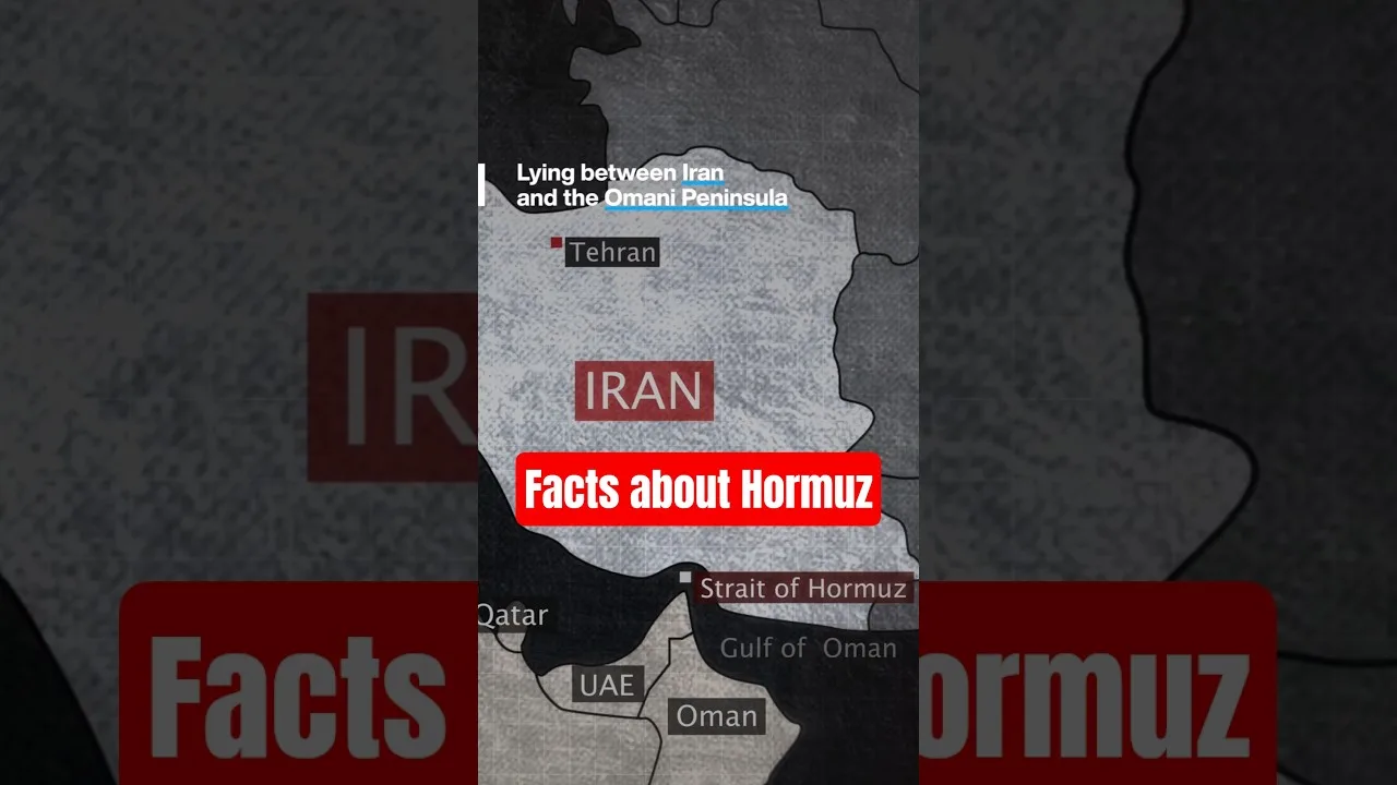
Table of Contents
- Geographic Profile of the Strait of Hormuz
- Location and Dimensions
- Bathymetry and Navigation
- Why the Strait of Hormuz Dominates Global Oil Logistics
- Volume Statistics That Define Energy Security
- Key Exporters Dependent on the Waterway
- Geopolitical Architecture: Iran, Oman, and International Law
- Sovereign Rights and UNCLOS
- Historical Flashpoints
- Economic Impact of a Strait of Hormuz Closure
- Immediate Market Shock
- Limited Bypass Options
- Environmental and Ecological Stakes
- Strategic Military Presence
- Strait of Hormuz in UPSC & UGC NET Geography Syllabus
- Future Outlook: Diversification and Risk Mitigation
- Renewable Transition and Demand Peak
- Emerging Alternatives
- Conclusion
The Strait of Hormuz stands as the single most strategically vital maritime passage on the planet, serving as the primary artery for global energy supplies. This narrow waterway, separating the Persian Gulf from the Gulf of Oman and the Arabian Sea, governs the flow of nearly one-fifth of the world’s petroleum liquids. Understanding its geography, geopolitics, and economic significance is essential for anyone studying international relations, energy security, or preparing for competitive examinations like UPSC and UGC NET Geography.
- Global Energy Lifeline: Approximately 20–21% of global petroleum liquids consumption transits the strait daily.
- Geographic Bottleneck: At its narrowest point, the shipping lane is only 3 km (1.86 miles) wide per direction.
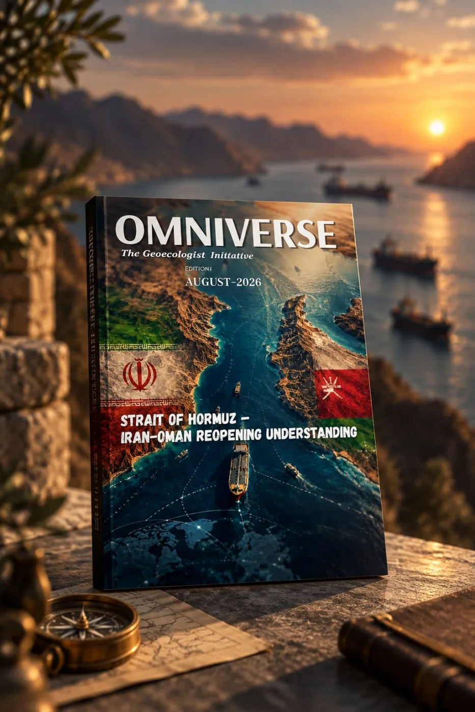
- Dual Sovereignty: The northern coast belongs to Iran; the southern coast to Oman (including the Musandam exclave).
- No Viable Alternatives: Pipeline bypass capacity covers only a fraction of the volume, making disruption catastrophic.
- Geopolitical Flashpoint: Tensions between Iran and Western powers frequently center on freedom of navigation here.
Geographic Profile of the Strait of Hormuz
Location and Dimensions
The Strait of Hormuz links the Persian Gulf with the Gulf of Oman and the Arabian Sea. Strait of Hormuz stretches approximately 167 km (90 nautical miles) in length. Its width varies from 39 km (21 nautical miles) at the western entrance to a mere 39 km at the eastern end, but the navigable channel for large tankers is constrained to a 2-mile-wide lane in each direction, separated by a 2-mile buffer zone. This physical constraint creates a natural chokepoint that cannot be easily widened or bypassed.
Bathymetry and Navigation
Depths in the main shipping channel range from 60 to 100 meters, accommodating Very Large Crude Carriers (VLCCs) and Ultra Large Crude Carriers (ULCCs) with drafts up to 25 meters. The International Maritime Organization (IMO) administers a Traffic Separation Scheme (TSS) adopted in 1980, mandating inbound and outbound lanes to prevent collisions in this high-density corridor.
Why the Strait of Hormuz Dominates Global Oil Logistics
Volume Statistics That Define Energy Security
According to the U.S. Energy Information Administration (EIA), an average of 20.5 million barrels per day (b/d) of crude oil, condensate, and petroleum products flowed through the Strait of Hormuz in 2023. This represents roughly 20% of total global petroleum liquids consumption and about one-third of all seaborne traded oil. Liquefied Natural Gas (LNG) flows are equally critical: Qatar, the world’s second-largest LNG exporter, ships nearly its entire output—approximately 80 million tonnes annually—through this passage.
Key Exporters Dependent on the Waterway
Major Gulf Cooperation Council (GCC) producers—Saudi Arabia, Iraq, UAE, Kuwait, and Qatar—rely almost exclusively on the strait for crude exports. Iran itself exports the bulk of its sanctioned-limited oil via these waters. Any interruption immediately tightens global supply, spikes Brent crude benchmarks, and triggers emergency releases from strategic petroleum reserves (SPRs) in consuming nations.
Geopolitical Architecture: Iran, Oman, and International Law
Sovereign Rights and UNCLOS
The Strait of Hormuz falls under the United Nations Convention on the Law of the Sea (UNCLOS) regime of “transit passage.” Unlike innocent passage, transit passage cannot be suspended by coastal states and applies to all ships and aircraft, including military vessels. Iran ratified UNCLOS in 2009 (with declarations); Oman ratified in 1989. Both nations are legally obligated to ensure unimpeded transit, yet Iran has periodically threatened closure in response to sanctions or military pressure.
Historical Flashpoints
- 1980–1988 Tanker War: Iraq and Iran attacked neutral shipping; the U.S. launched Operation Earnest Will to escort tankers.
- 1988 Operation Praying Mantis: U.S. forces destroyed Iranian naval assets after the USS Samuel B. Roberts struck an Iranian mine.
- 2019–2021 Tanker Incidents: Mysterious attacks on merchant vessels (Kokuka Courageous, Front Altair, Mercer Street) blamed on Iranian limpet mines or drones.
- 2023–2024 Seizures: Iranian Revolutionary Guard Corps Navy (IRGCN) seized multiple tankers (Advantage Sweet, Niovi, St. Nikolas) citing legal disputes or retaliation.
Economic Impact of a Strait of Hormuz Closure
Immediate Market Shock
Energy analysts at the International Energy Agency (IEA) and major banks (Goldman Sachs, JPMorgan) model a full closure scenario as removing 17–19 million b/d from global markets. Brent crude could surge $30–$50 per barrel within days. The 1973 oil embargo removed only ~5 million b/d; a Hormuz closure would be 3–4× larger.
Limited Bypass Options
Only two pipelines offer partial alternatives:
- Petroline (East-West Pipeline), Saudi Arabia: 5 million b/d capacity (currently ~2.5 million b/d utilized) to Red Sea port of Yanbu.
- Abu Dhabi Crude Oil Pipeline (ADCOP), UAE: 1.5 million b/d capacity to Fujairah on the Gulf of Oman.
Combined spare capacity covers <4 million b/d—far short of the 20+ million b/d at risk. Land routes via truck or rail are negligible for volume.
Environmental and Ecological Stakes
The Strait of Hormuz traverses a sensitive marine ecosystem: coral reefs, mangroves, and critical habitats for endangered hawksbill turtles and dugongs. High traffic density (20,000+ transits/year) raises chronic pollution risks—ballast water discharge, bilge oil, and noise pollution. A major spill (e.g., VLCC grounding) could devastate desalination plants supplying freshwater to GCC megacities (Dubai, Abu Dhabi, Doha, Kuwait City) and cripple fisheries supporting coastal communities in Iran and Oman.
Strategic Military Presence
The U.S. Fifth Fleet, headquartered in Bahrain, maintains a persistent carrier strike group and mine-countermeasure squadron in the region. Operation Sentinel (2019–present), a multinational maritime security construct including UK, Australia, Bahrain, Saudi Arabia, UAE, and Albania, patrols the strait. Iran counters with asymmetric assets: swarm boats, anti-ship cruise missiles (Noor, Qader), naval mines, and coastal defense batteries on Qeshm, Larak, and Abu Musa islands.
Strait of Hormuz in UPSC & UGC NET Geography Syllabus
For aspirants, the Strait of Hormuz is a high-yield topic under:
- World Geography: Major straits, chokepoints, ocean routes (GS Paper 1).
- International Relations: Energy security, West Asia geopolitics, India’s strategic interests (GS Paper 2).
- Economy: Oil price shocks, current account deficit, strategic petroleum reserves (GS Paper 3).
Key facts to memorize: coordinates (26°34′N 56°15′E), narrowest navigable width (3 km per lane), 20.5 million b/d (2023), transit passage vs. innocent passage distinction, and India’s 60%+ crude import dependence on this route.
Future Outlook: Diversification and Risk Mitigation
Renewable Transition and Demand Peak
IEA’s Net Zero by 2050 scenario projects global oil demand peaking before 2030, declining to 24 million b/d by 2050. However, even in aggressive transition pathways, the Strait of Hormuz remains critical for decades because petrochemical feedstocks, aviation fuel, and heavy transport lack scalable substitutes.
Emerging Alternatives
- Iraq–Turkey Pipeline Revival: Kirkuk–Ceyhan line (1.6 million b/d capacity) damaged since 2014; repairs could add northern export route.
- GCC Rail & Pipeline Networks: Proposed Gulf Railway and expanded Petroline/ADCOP loops.
- Arctic Routes: Northern Sea Route (NSR) offers Europe-Asia shortcuts but is seasonal, ice-limited, and unsuitable for VLCCs.
Conclusion
The Strait of Hormuz is not merely a geographic feature; it is the pivot upon which the modern hydrocarbon economy turns. Its 3-kilometer-wide shipping lanes bind the energy security of Asia, Europe, and North America to the political stability of a single, volatile corridor. For policymakers, traders, and students alike, monitoring developments in this waterway is non-negotiable. As the world navigates energy transition, the strait’s strategic weight will evolve—but not disappear—making continuous study of its dynamics imperative for UPSC, UGC NET, and global energy literacy.
Frequently Asked Questions
Approximately 20–21% of global petroleum liquids consumption, averaging 20.5 million barrels per day in 2023, transits the Strait of Hormuz, making it the world's most critical oil chokepoint.
The northern coastline of the Strait of Hormuz belongs to Iran, while the southern coastline (including the Musandam Peninsula exclave) belongs to Oman. Both nations exercise sovereignty over their territorial waters but must allow transit passage under UNCLOS.
Only two pipelines offer limited bypass capacity: Saudi Arabia's Petroline (East-West Pipeline) to Yanbu (5 million b/d capacity) and the UAE's ADCOP to Fujairah (1.5 million b/d). Combined, they cover less than 4 million b/d—far below the 20+ million b/d at risk—making a full closure economically catastrophic.