Blog
Geography Data Sources: A Complete Guide for Class 12

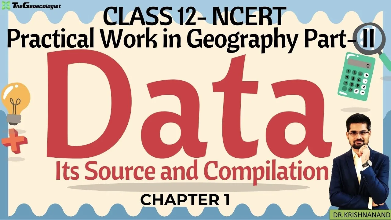
Table of Contents
Geography Data Sources play a pivotal role in shaping the way students analyze spatial patterns activo. By mastering these sources, learners can interpret maps, conduct demographic studies, and forecast environmental changes. Below is a detailed guide that covers every facet of Geography Data Sources, from primary collection methods to secondary archives and their application in competitive exams.
- Understand the distinction between primary and secondary Geography Data Sources.
- Learn how to compile and tabulate data for clear presentation.
- Explore exam relevance of Geography Data Sources for CBSE, CUET, UPSC, and other competitive tests.
- Access expert tips from TheGeoecologist’s bilingual video series.
- Discover resources and external links for deeper study.
Geography Data Sources: A Comprehensive Overview
This chapter focuses on Geography Data Sources and their significance in modern geography curricula. With the advent of digital technology, students now have unprecedented access to a wide array of data, but it is essential to know how to evaluate and use these sources responsibly.
Primary Geography Data Sources
Primary Geography Data Sources are collected directly by researchers through fieldwork, surveys, and experiments. These sources are considered highly reliable because they capture original observations. Examples include:
- Household Surveys: Capturing migration patterns or socio-economic status.
- Field Observations: Recording soil types, land use, or wildlife counts.
- Technology-Driven Methods: GPS tracking, drone imagery, and sensor networks provide real‑time, high‑resolution data.
Secondary Geography Data Sources
Secondary Geography Data Sources are derived from existing records and publications. They are invaluable for historical comparisons and large‑scale analyses. Key examples are:
- Published Reports: Government statistics, NGO studies, and academic journals.
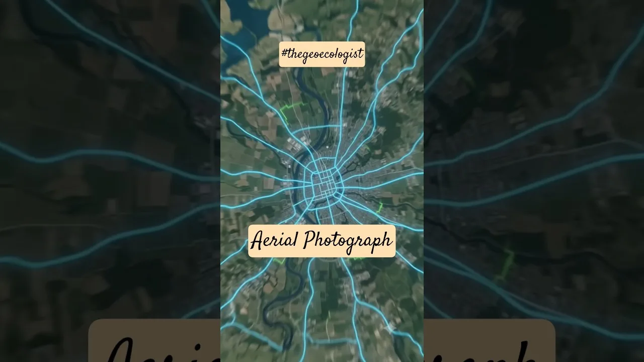
- Remote sensing imagery from satellite missions such as ISRO’s GSAT or NASA’s Landsat.
- Digital Databases: Online portals like IndiaStat, the NCERT website, and Voyager GIS provide ready‑made datasets.
Compiling and Analyzing Geography Data Sources
Effective use of Geography Data Sources requires systematic compilation. The process typically involveslications such as:
- Data Cleaning: Removing duplicates, correcting errors, and ensuring consistency.
- Classification: Grouping data into meaningful categories (e.g., age groups, income brackets).
- Tabulation: Organizing data in tables for clarity and ease of comparison.
- Visualization: Creating graphs, maps, and charts to illustrate trends and patterns.
Exam Relevance: Geography Data Sources
In the CBSE Class 12 exam, students are required to collect, analyze, and present data using appropriate tools. The knowledge of Geography Data Sources directly translates to:
- Skillful data interpretation in multiple-choice and diagram‑based questions.
- Proficiency in using GIS software for mapping exercises.
- Critical evaluation of secondary sources for essay questions.
Mastering Geography Data Sources with Expert Guidance
TheGeoecologist’s bilingual video tutorials break down complex topics into digestible segments. The instructor explains terms in both Hindi and English, showcases real‑world data compilation examples, and highlights common exam traps. By following these lessons, students can quickly build confidencealable in handling Geography Data Sources.
Key Takeaways
- Primary Geography Data Sources are collected firsthand and are highly reliable.
- Secondary Geography Data Sources provide breadth and historical context.
- Proper compilation and visualization enhance data usability.
- Mastering Geography Data Sources is essential for CBSE, CUET, UPSC, and other competitive exams.
- Expert video tutorials can accelerate learning and exam readiness.
Students must understand Geography Data Sources to interpret maps accurately. Statistical analysis of Geography Data Sources enhances infrastructure planning. GIS software handles large sets of Geography Data Sources efficiently. Remote sensing yields crucial Geography Data Sources for environmental monitoring. The Census of India provides vast Geography Data Sources on population distribution. Field surveys generate primary Geography Data Sources that are often more accurate. Secondary Geography Data Sources such as government reports offer valuable insights. Academic researchers rely on credible Geography Data Sources for publications. Competitive exams test knowledge of Geography Data Sources and their applications. By mastering Geography Data Sources, students secure higher scores in CBSE and UPSC.
Frequently Asked Questions
Primary Geography Data Sources are collected directly through fieldwork, surveys, or experiments, providing original observations.
Secondary Geography Data Sources are derived from existing records, reports, and digital databases, offering broader historical and contextual information.
Examiners assess a student's ability to collect, analyze, and present data, making knowledge of Geography Data Sources critical for success in CBSE, CUET, UPSC, and similar tests.