Blog
Dhauladhar Pir Panjal Range HP | Geography of Himachal Pradesh eBook by Dr. Krishnanand

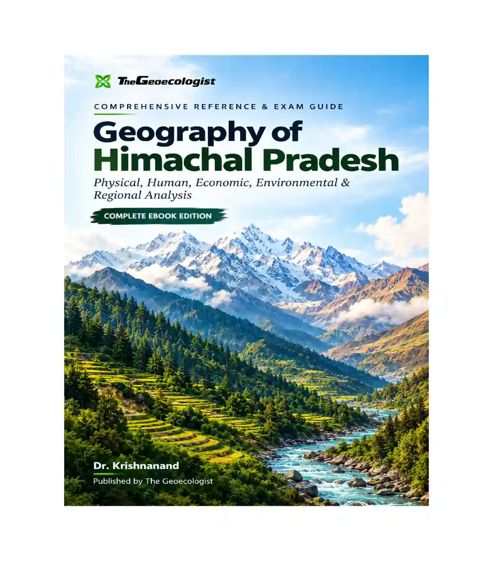
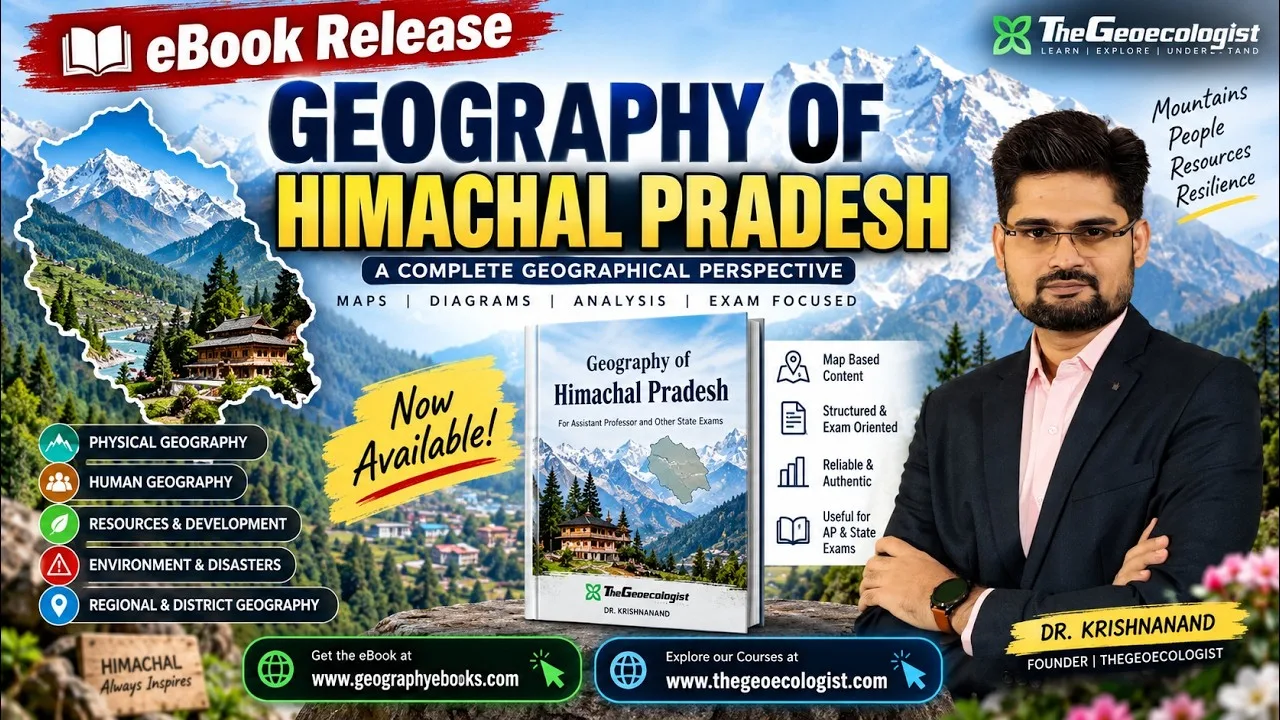
The Dhauladhar and Pir Panjal ranges form two of the most significant mountain systems shaping the topography, hydrology, and ecological diversity of Himachal Pradesh. Whether you are preparing for Assistant Professor recruitment exams, State PCS, UPSC optionals, or UGC NET Geography, mastering these mountain ranges is essential. This article explores why this geographic knowledge matters and introduces the definitive study resource available—Geography of Himachal Pradesh eBook | Dr. Krishnanand | TheGeoecologist. Below we will examine the geological framework, range dynamics, and why this visual-driven compendium is the most effective tool for comprehensive exam readiness.
- Problem: Many aspirants struggle to connect physical features (like the Dhauladhar and Pir Panjal ranges) with their broader implications for agriculture, disaster risk, and regional development.
- How to Evaluate a Solution: Look for a resource that synthesizes relief maps, geomorphological processes, water cycle patterns, and human geography into a single cohesive narrative rather than isolated bullet points.
- Why This Product Fits: The eBook draws directly from Dr. Krishnanand’s award-winning YouTube lecture series, translating complex spatial concepts into readable, map-rich explanations tailored for academic and professional certification.
- Practical Usage: Download the eBook, navigate the chapter on geomorphology and drainage systems, then apply the spatial insights to case studies common in state-level geography papers.
- FAQs: Answers below address common concerns such as prerequisite knowledge, time commitment, and exam-specific relevance.
Understanding the Geological Framework
The foundation of any regional geography study lies in understanding the underlying tectonic and lithological architecture. In Himachal Pradesh, the Dhauladhar and Pir Panjal ranges are products of the Himalayan orogeny, formed approximately 40 million years ago when the Indian plate collided with the Eurasian plate. These ranges act as the northern sentinel against the Tibetan Plateau to the north and the Indo-Gangetic Plain to the south, creating a dramatic topographic gradient.
Dr. Krishnanand’s eBook meticulously breaks down this geological backbone. Chapter 2 covers the relief characteristics of both ranges, highlighting how the Dhauladhar extends over 200 km along the northern flank while the Pir Panjal serves as the main watershed dividing the upper catchments. The eBook integrates satellite imagery, contour maps, and cross-sectional profiles to illustrate fault lines, fold structures, and metamorphic rock formations that define the region’s rugged terrain. For students preparing for state examinations, this level of detail is invaluable because board and competitive tests frequently ask about elevation gradients, earthquake susceptibility zones, and soil formation processes driven by these mountain systems.
Dhauladhar Range – Topographic Significance
The Dhauladhar range, meaning “white mountains” in Sanskrit, dominates the northern border of Himachal Pradesh and Jammu & Kashmir. Spanning roughly 200 kilometers from the Tibet border near the Tso Morir to the Sutlej River confluence, its peaks include Hanumati Peak (7,570 m), Dakshin Kangri (6,667 m), and various subranges like the Lahan and Kinnaur branches. From a geographic perspective, the Dhauladhar represents a critical barrier between the cold, alpine climate of the high elevations and the temperate valleys inhabited by millions.
What makes the Dhauladhar particularly important for regional planning is its role in controlling the river systems that sustain agriculture across the state. The Sutlej, Beas, and Ravi originate here, feeding irrigation networks that support crops such as apples, walnuts, and barley. In the context of disaster management, the steep slopes of the Dhauladhar are prone to landslides during monsoon season—a phenomenon documented by the National Center for Disaster Management and frequently tested in geography examinations.
Pir Panjal Range – Watershed Dynamics
The Pir Panjal range, running parallel to but slightly east of the Dhauladhar, acts as the principal northern watershed of the Indus system. Its peaks reach up to Parvati Peak (6,892 m), forming a formidable barrier that collects waters flowing westward into the Ravi and Jambubhi rivers. Understanding the Pir Panjal requires analyzing its position relative to the Great Indus Basin and its influence on downstream hydroelectric potential.
Dr. Krishnanand’s eBook dedicates an entire section to the drainage networks associated with the Pir Panjal. The eBook explains how tributaries like the Beas, Ravi, and Pindj collect in the Pir Panjal basin before discharging into the Sutlej. This information aligns perfectly with current syllabi for the UPSC Civil Services Examination and the UGC NET Geography paper, where questions often probe the relationship between mountain catchments and river basins.
Moreover, the eBook highlights the biodiversity hotspots within the Pir Panjal foothills—home to the Himalayan monkey (Paparius gulliveri), snow leopards, and diverse oak-cork oak forests. These ecological details are crucial for answering questions related to environmental sustainability and conservation policy in geography assessments.
Integrated Study Guide Approach
The power of Dr. Krishnanand’s approach lies in its integration of physical and human geography. Rather than treating the Dhauladhar and Pir Panjal as isolated topics, the eBook weaves them together with chapters on climate, soils, and settlement patterns. For instance, the dry, cold microclimates of the high Dhauladhar slopes contrast sharply with the temperate valley floors where settlement density increases dramatically—a pattern that emerges clearly only when both natural and human dimensions are examined concurrently.
This interdisciplinary method satisfies the evaluation criteria set by many state-level geography exams, which look for candidates who can articulate cause-effect relationships between geological formations and socio-economic outcomes. The eBook provides explicit mapping exercises that help students visualize these connections, a skill that sets its holders apart from those relying solely on textbook readings.
Why This eBook Stands Out
Compared to generic geography notes or fragmented online articles, this eBook offers three distinguishing advantages. First, it is authored by Dr. Krishnanand, a Ph.D. graduate of the Delhi School of Economics who has taught at multiple coaching institutes for UPSC, State PCS, and UGC NET programs. His pedagogical style balances academic rigor with accessibility, making complex spatial concepts understandable without diluting accuracy.
Second, the visual component is unparalleled. Maps of the Dhauladhar and Pir Panjal ranges are accompanied by annotated diagrams showing fault lines, river courses, and biogeographical zones. These graphics serve as quick-reference tools during revision, allowing students to grasp spatial relationships in minutes rather than hours.
Third, the eBook is explicitly designed for exam preparation. Each chapter concludes with summary tables, key point checklists, and practice questions mirroring the format used in official recruitment tests. This ensures that reading the material leads directly to test-taking proficiency.
Buying Guidance for Students and Professionals
For undergraduate and postgraduate students pursuing geography, political science, or environmental studies, this eBook serves as both a reference companion and a primary study guide. Its modular structure—covering physical geography, geomorphology, drainage, climate, biodiversity, population, agriculture, industries, hydropower potential, infrastructure, environmental challenges, and disaster vulnerability—means learners can select chapters aligned with their weak areas.
Professionals seeking to refresh their geographic knowledge or add depth to their expertise in regional planning can also benefit. The eBook’s emphasis on risk zones, disaster vulnerability, and industrial corridors translates directly into practical applications for urban planners, conservation officers, and sustainable development consultants operating in Himachal Pradesh and neighboring states. The concise yet comprehensive treatment ensures that busy professionals can absorb critical spatial intelligence without sacrificing depth.
If you find yourself needing detailed maps of the Dhauladhar range for a project report, or you require a clear synthesis of the PyPanjal watershed’s agricultural significance, this resource delivers both. The price point of ₹249 offers excellent value given the breadth of content and the proven track record of Dr. Krishnanand’s lectures among past examination takers.
Conclusion & Next Steps
To summarize, the Dhauladhar and Pir Panjal ranges are more than just mountain chains—they are the spatial engines driving Himachal Pradesh’s economic, cultural, and ecological landscape. Mastering them is essential for anyone aiming to excel in geography-related academic and professional examinations. By investing in Geography of Himachal Pradesh eBook | Dr. Krishnanand | TheGeoecologist, you gain access to a curated collection of maps, diagrams, and exam-oriented summaries that bridge theory and application.
The eBook’s comprehensive coverage, author credibility, and strategic alignment with state-level examination patterns make it a standout choice. Begin by downloading the PDF, work through each chapter systematically, and use the included study guides to reinforce your understanding. If you have specific questions about particular sections—such as landslide risk modeling in the Dhauladhar or hydropower potential in the Pir Panjal—feel free to explore the external resources linked below for additional background information.
Learn more about the Dhauladhar Range
Visit India’s National Centre for Disaster Management
Our Recommendation
📖 Part of our complete guide: Evolution of Geographical Thought: A Comprehensive Guide for UPSC Aspirants and Geography Enthusiasts
Frequently Asked Questions
Who is the author of the Geography of Himachal Pradesh eBook?
The eBook is written by Dr. Krishnanand, founder and director of TheGeoecologist, a scholar with a Ph.D. from the Department of Geography, Delhi School of Economics, University of Delhi.
What topics are covered in the eBook?
The eBook covers physical geography, geomorphology, drainage systems, climate, soils, natural vegetation, biodiversity, population, settlement patterns, agriculture, industries, hydropower potential, infrastructure, environmental challenges, and disaster vulnerability.
Is this eBook suitable for UPSC and State PCS exams?
Yes. The eBook is specifically designed for Assistant Professor recruitment, State PCS, UPSC optional papers, and UGC NET Geography, with chapter summaries and practice questions aligned to exam formats.