Blog
Shivalik Range Himachal Pradesh: Complete Guide for Assistant Professor & State Exam Preparation

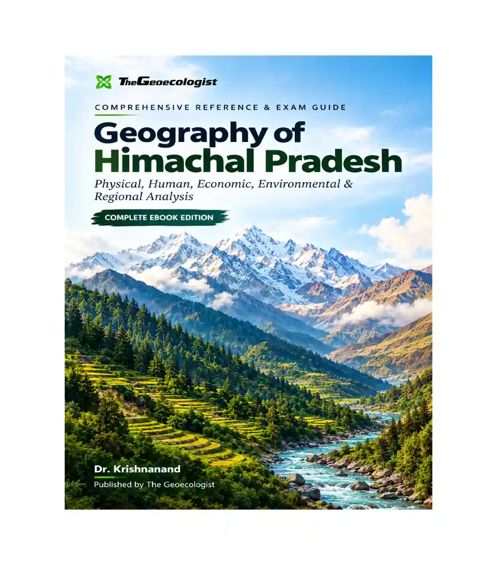
The Shivalik Range Himachal Pradesh represents one of the most geographically significant and examinable topics in Indian geography. Whether you are preparing for Assistant Professor recruitment exams, State PCS, UPSC Optional Geography, or UGC NET Geography, understanding the Shivalik Range is essential for scoring marks in both physical and human geography sections. This comprehensive guide will help you master the Shivalik Range with the depth and clarity required for competitive examinations.
Key Takeaways
- The Shivalik Range forms the outermost and youngest Himalayan mountain range
- It spans approximately 2,400 km across the entire Himalayan arc
- The range is characterized by fossil-rich sedimentary formations dating back to the Tertiary period
- Shivalik deposits contain significant geological evidence of Himalayan orogenesis
- Understanding the Shivalik Range is crucial for disaster vulnerability assessment in Himachal Pradesh
- Map-based questions on the Shivalik Range frequently appear in State-level examinations
What is the Shivalik Range? Geological Background
The Shivalik Range Himachal Pradesh section forms the southernmost and youngest member of the Himalayan mountain system. Also known as the “Sub-Himalaya” or “Sivalik Hills,” this range extends from the Jammu region in the west to the Brahmaputra valley in the east, covering a total distance of approximately 2,400 kilometers. The name “Shivalik” is derived from the Sanskrit words “Shiva” (Lord Shiva) and “lik” (to look), though local names like “Mainak Parvat” are also associated with prominent peaks in Himachal Pradesh.
Geologically, the Shivalik Range consists of poorly consolidated sandstones, siltstones, conglomerates, and clay deposits that accumulated in the foreland basin during the Miocene to Pliocene epochs, roughly 16 to 2.6 million years ago. These deposits, collectively known as the “Siwalik Group,” contain rich fossil records including vertebrate remains, wood fragments, and pollen grains that provide invaluable insights into the paleoclimatic and paleoecological conditions of the Himalayan region during its formation.
The formation of the Shivalik Range is directly linked to the ongoing continental collision between the Indian and Eurasian tectonic plates. As the Indian plate continues to push northward at a rate of approximately 5 centimeters per year, the sediments deposited in the Tethys Sea have been uplifted, folded, and thrusted to form the present-day Shivalik Hills. This makes the range a living laboratory for studying active tectonic processes and mountain-building phenomena.
Geographic Extent and Topography of the Shivalik Range in Himachal Pradesh
In Himachal Pradesh, the Shivalik Range Himachal Pradesh landscape extends across the southernmost parts of the state, forming a distinct physical region that transitions between the Bhabar zone in the north and the Terai plains in the south. The range in this region typically exhibits elevations ranging from 600 to 1,500 meters above mean sea level, with individual peaks occasionally exceeding 2,000 meters. Prominent peaks in the Himachal section includeJwalamukhi (2,850m) in Kangra district and the historically significant Mainak Parvat, which features prominently in regional mythology and geographical literature.
The topography of the Shivalik Range is characterized by steep slopes, narrow valleys, and numerous transverse streams that dissect the hillsides. The range exhibits a typical ridge-and-valley topography with elongated ridges running roughly parallel to the main Himalayan trend. The steep gradients and fragile geological composition of these hills make them highly susceptible to erosion and mass wasting processes, a factor that significantly contributes to the disaster vulnerability profile of the region.
The width of the Shivalik belt in Himachal Pradesh varies from approximately 10 to 50 kilometers, with the range becoming narrower in the eastern parts of the state. The orientation of the range follows a northwest-southeast trend, consistent with the overall structural grain of the Himalayas. The interaction between the Shivalik Range and the underlying older rocks of the Lesser Himalayas creates distinct geomorphological boundaries that are important for understanding regional landform evolution.
Drainage Systems Associated with the Shivalik Range
The Shivalik Range Himachal Pradesh section is traversed by an extensive network of rivers and streams that originate from the higher Himalayas and flow through the Shivalik hills before joining the major river systems of the Indo-Gangetic plain. The most significant rivers draining this region include the Satluj, Beas, Ravi, and Yamuna, all of which have their headwaters in the Greater Himalayas and cut across the Shivalik Range through deep gorges and canyons.
The drainage pattern in the Shivalik region is predominantly trellis and dendritic, reflecting the underlying geological structure and slope characteristics. The transverse drainage pattern, where rivers flow perpendicular to the strike of the hills, is particularly well-developed in this region and creates the characteristic water gaps and wind gaps that are important from both geomorphological and geographical perspectives. These drainage features frequently appear in examination questions as map-based or diagrammatic components.
The interaction between fluvial processes and the soft, unconsolidated rocks of the Shivalik Formation has resulted in extensive badland development in certain areas. The Chaurs or flat-floored valleys within the Shivalik Range represent another distinctive drainage-related feature, providing localized agricultural pockets amidst the otherwise rugged terrain. Understanding these drainage dynamics is essential for comprehending the settlement patterns, agricultural practices, and water resource potential of the region.
Climate, Biodiversity, and Ecological Significance
The Shivalik Range Himachal Pradesh region experiences a subtropical to temperate climate, with distinct seasonal variations that significantly influence the vegetation patterns and biodiversity of the area. The altitude-related climatic gradient results in diverse ecological zones within the range, from subtropical broadleaved forests at lower elevations to coniferous forests at higher altitudes. The annual rainfall in this zone ranges from 1,500 to 2,500 millimeters, most of which is received during the monsoon season from June to September.
The biodiversity of the Shivalik Range is remarkable, with numerous species of flora and fauna adapted to the specific ecological conditions of this transitional zone. The forests in this region include species such as sal (Shorea robusta), teak (Tectona grandis), chir pine (Pinus roxburghii), and various species of oak (Quercus) and rhododendron. The wildlife includes species like the leopard, Himalayan black bear, barking deer, and numerous avian species that are relevant for conservation geography questions in examinations.
The ecological significance of the Shivalik Range extends beyond biodiversity conservation to include watershed protection, soil conservation, and climate regulation functions. The forest cover in this region plays a critical role in preventing soil erosion, regulating stream flow, and protecting the underlying Bhabar and Terai zones from the impacts of excessive sedimentation. Environmental challenges facing the Shivalik Range, including deforestation, habitat fragmentation, and climate change impacts, are important topics for disaster vulnerability and environmental geography sections of competitive examinations.
Human Geography: Population, Settlements, and Agricultural Patterns
The Shivalik Range Himachal Pradesh region supports significant human populations engaged in agriculture, horticulture, and service sector activities. The population distribution in this zone is influenced by factors including terrain accessibility, water availability, agricultural potential, and proximity to urban centers. The villages in the Shivalik belt typically cluster in valleys and along ridge tops, following settlement patterns that reflect both the opportunities and constraints imposed by the physical environment.
Agriculture in the Shivalik Range is characterized by terraced cultivation, with crops including wheat, barley, maize, rice, and various pulses being grown depending on the altitude and irrigation facilities. The horticultural sector, particularly apple cultivation, is significant in the higher reaches of the Shivalik zone, while lower elevations support more diverse cropping patterns. The agricultural practices in this region demonstrate significant adaptation to the slopes, with soil conservation measures and water management practices being integral to sustainable land use.
The infrastructure development in the Shivalik Range, including road connectivity, hydroelectric projects, and tourism facilities, has significantly influenced the economic geography of the region. The hydropower potential of the rivers originating in this zone has been systematically developed, with numerous hydroelectric projects harnessing the energy of streams flowing through the Shivalik hills. This economic dimension is particularly relevant for questions on industrial geography, infrastructure development, and regional planning in Himachal Pradesh examinations.
Disaster Vulnerability and Risk Assessment
The Shivalik Range Himachal Pradesh section is highly vulnerable to various natural hazards, including landslides, flash floods, earthquakes, and soil erosion. The combination of steep slopes, weak geological formations, high rainfall intensity, and ongoing tectonic activity creates a landscape where disaster risk is significantly elevated. The 2013 devastating flash floods in the Kedarnath region, though primarily affecting the higher Himalayas, demonstrated the cascading impacts that events in mountainous terrain can have on downstream communities in the Shivalik zone.
Understanding the disaster vulnerability profile of the Shivalik Range is essential for examination candidates, as questions on disaster management, risk zoning, and environmental hazards frequently draw upon case studies from this region. The seismic vulnerability of the Shivalik belt is particularly significant, as the entire Himalayan region lies in Seismic Zones IV and V, indicating high to very high damage risk from earthquakes. The soft, unconsolidated nature of the Shivalik sediments amplifies seismic waves, increasing the potential for ground failure and slope instability during earthquakes.
Government initiatives for disaster risk reduction in the Shivalik region include early warning systems, community-based disaster preparedness programs, slope stabilization measures, and regulated development in vulnerable zones. The geo-environmental sensitivity of this range requires careful balancing between development imperatives and environmental protection, a theme that frequently appears in questions on sustainable development and environmental management in competitive examinations.
Why the Geography of Himachal Pradesh eBook is Essential for Your Exam Preparation
Given the complexity and breadth of topics covered under the Shivalik Range Himachal Pradesh geography, having a structured, comprehensive resource is invaluable for examination success. The Geography of Himachal Pradesh eBook by Dr. Krishnanand and TheGeoecologist transforms scattered geographical information into a coherent, exam-ready resource that covers not only the Shivalik Range but all seventeen districts of Himachal Pradesh with equal depth and analytical rigor.
What distinguishes this eBook is its integrated approach to geographical understanding. Rather than presenting isolated facts, the resource connects the physical geography of the Shivalik Range with human geography, environmental challenges, and disaster vulnerability, mirroring the integrated analytical approach that examination setters expect from high-scoring candidates. The inclusion of maps, diagrams, and spatial models provides the visual learning tools essential for map-based questions and conceptual clarity.
The eBook is specifically designed for Assistant Professor recruitment exams, State PCS, UPSC Optional Geography, and UGC NET Geography, ensuring that the content coverage, depth, and analytical frameworks align precisely with examination requirements. Based on Dr. Krishnanand’s popular YouTube lecture series, the resource brings the expertise of a seasoned geography educator directly to your preparation toolkit, making complex geographical concepts accessible and memorable.
FAQs
What is the Shivalik Range and where is it located in Himachal Pradesh?
The Shivalik Range is the youngest and southernmost mountain range of the Himalayas, forming an outer belt that separates the Lesser Himalayas from the Indo-Gangetic plains. In Himachal Pradesh, the Shivalik Range extends across the southern parts of the state, with elevations ranging from 600 to 1,500 meters above mean sea level.
Why is the Shivalik Range important for geography examinations?
The Shivalik Range is important for examinations because it covers multiple aspects of physical geography including geomorphology, drainage systems, climate, biodiversity, and disaster vulnerability. Questions on this topic appear frequently in Assistant Professor exams, State PCS, UPSC Optional, and UGC NET Geography papers, testing candidates’ understanding of both natural processes and human-environment interactions.
What is the geological significance of the Shivalik Range?
The Shivalik Range is geologically significant because it consists of Siwalik Group sediments deposited during the Miocene to Pliocene epochs. These poorly consolidated formations contain rich fossil records and provide direct evidence of Himalayan orogenesis. The range is actively evolving due to ongoing tectonic processes, making it a natural laboratory for studying mountain-building phenomena.
For comprehensive preparation on the Shivalik Range and all aspects of Himachal Pradesh geography, explore the Geography of Himachal Pradesh eBook by Dr. Krishnanand, available at Geography eBooks.
Further reading: Shivalik Range Himachal Pradesh on Wikipedia
Our Recommendation
📖 Part of our complete guide: Evolution of Geographical Thought: A Comprehensive Guide for UPSC Aspirants and Geography Enthusiasts
Frequently Asked Questions
What is the Shivalik Range and where is it located in Himachal Pradesh?
The Shivalik Range is the youngest and southernmost mountain range of the Himalayas, forming an outer belt that separates the Lesser Himalayas from the Indo-Gangetic plains. In Himachal Pradesh, the Shivalik Range extends across the southern parts of the state, with elevations ranging from 600 to 1,500 meters above mean sea level.
Why is the Shivalik Range important for geography examinations?
The Shivalik Range is important for examinations because it covers multiple aspects of physical geography including geomorphology, drainage systems, climate, biodiversity, and disaster vulnerability. Questions on this topic appear frequently in Assistant Professor exams, State PCS, UPSC Optional, and UGC NET Geography papers.
What is the geological significance of the Shivalik Range?
The Shivalik Range is geologically significant because it consists of Siwalik Group sediments deposited during the Miocene to Pliocene epochs. These poorly consolidated formations contain rich fossil records and provide direct evidence of Himalayan orogenesis, making it a natural laboratory for studying mountain-building phenomena.