Blog
Periglacial Cycle Erosion: Peltier’s Model, Processes & Landforms Explained

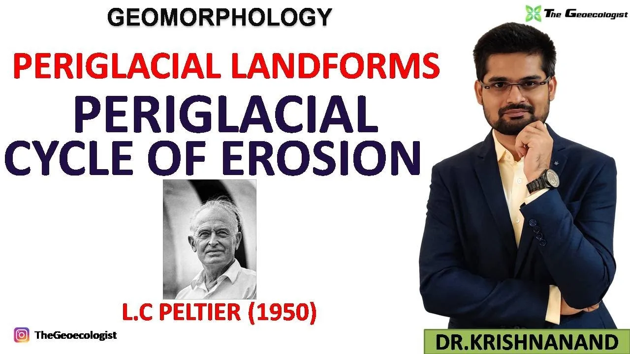
Table of Contents
- Defining the Periglacial Environment
- Fundamental Periglacial Processes Driving Landscape Evolution
- Frost Action and Freeze-Thaw Weathering
- Solifluction: The Dominant Mass-Wasting Process
- Nivation and Snowpatch Erosion
- Ice Wedging and Patterned Ground Formation
- Thermokarst: Permafrost Thaw Subsidence
- Diagnostic Periglacial Landforms
- Patterned Ground: Nature's Geometric Art
- Pingos: Ice-Cored Hills
- Blockfields (Felsenmeer) and Tors
- Thermokarst Lakes and Alas Basins
- Peltier's Periglacial Cycle of Erosion (1950): A Three-Stage Model
- Stage 1: Youthful Stage — Frost Weathering Dominance
- Stage 2: Mature Stage — Solifluction and Nivation Intensification
- Stage 3: Old Age Stage — Peneplanation and Residual Features
- Critiques and Modern Refinements of Peltier's Model
- Periglacial vs. Glacial Processes: Key Distinctions
- Climate Change Impacts on Periglacial Systems
- Relevance for UPSC Geography Optional and Academic Research
- Field Identification Guide for Periglacial Features
- Future Research Directions
The periglacial cycle erosion concept, introduced by L.C. Peltier in 1950, remains a cornerstone of cold-climate geomorphology. It describes how landscapes evolve in regions adjacent to glaciers or ice sheets where freeze-thaw dynamics dominate. Unlike glacial environments, periglacial zones lack permanent ice cover but experience intense frost action, permafrost dynamics, and mass wasting that sculpt distinctive landforms. This article explores the processes, landforms, and Peltier’s three-stage cyclic model in depth, providing essential insights for geography students, researchers, and UPSC aspirants.
- Periglacial cycle erosion operates in cold, non-glacial environments with mean annual temperatures below 0°C.
- L.C. Peltier’s 1950 model outlines three stages: Youthful, Mature, and Old Age.
- Key processes include frost weathering, solifluction, nivation, ice wedging, and thermokarst.
- Diagnostic landforms: patterned ground, pingos, solifluction lobes, blockfields, and thermokarst lakes.
- Climate change is accelerating permafrost thaw, altering periglacial landscapes globally.
Defining the Periglacial Environment
The term “periglacial” was first coined by Polish geologist Walery Łoziński in 1909 to describe areas marginal to Pleistocene ice sheets. Modern definitions emphasize the presence of permafrost (ground remaining ≤0°C for two+ consecutive years) and intense frost action. According to the International Permafrost Association, periglacial regions cover approximately 25% of Earth’s land surface, primarily in high latitudes (Arctic Siberia, Alaska, Northern Canada) and high altitudes (Himalayas, Andes, Rocky Mountains). The periglacial cycle erosion framework specifically addresses how these environments evolve over geomorphic time.
Fundamental Periglacial Processes Driving Landscape Evolution
Frost Action and Freeze-Thaw Weathering
Frost action is the engine of periglacial cycle erosion. When water infiltrates rock fractures and freezes, it expands by ~9%, generating pressures up to 200 MPa—exceeding the tensile strength of most rocks. This freeze-thaw weathering (or gelifraction) progressively disintegrates bedrock into angular debris. The process is most effective where temperatures fluctuate frequently across 0°C. In the Canadian High Arctic, researchers have recorded over 200 freeze-thaw cycles annually, producing vast blockfields (felsenmeer) on plateau surfaces.
Solifluction: The Dominant Mass-Wasting Process
Solifluction—slow downslope flow of water-saturated active layer over impermeable permafrost—is the primary transport mechanism in the periglacial cycle erosion model. Rates typically range from 0.5–5 cm/year but can exceed 10 cm/year on steep, fine-grained slopes. The process creates distinctive solifluction lobes and terraces that mantle hillslopes. During the Mature stage of Peltier’s cycle, solifluction smooths rugged topography, redistributing frost-shattered debris into coherent slope mantles.
Nivation and Snowpatch Erosion
Nivation encompasses geomorphic work beneath persistent snowpatches: frost shattering, meltwater erosion, and solifluction. Over centuries, nivation hollows expand into nivation cirques, which may eventually evolve into glacial cirques if climate cools. In the periglacial cycle erosion sequence, nivation intensifies during the Mature stage, contributing to slope reduction and sediment supply.
Ice Wedging and Patterned Ground Formation
Ice wedges form when thermal contraction cracks in permafrost fill with meltwater, which freezes and expands. Repeated cycles widen cracks into polygonal networks—classic patterned ground. These features range from centimeters (micro-patterns) to tens of meters (macro-polygons). Active ice wedges indicate ongoing permafrost aggradation; degraded wedges (ice-wedge casts) signal past permafrost conditions. The USGS Permafrost Research Program monitors ice-wedge dynamics as indicators of Arctic climate change.
Thermokarst: Permafrost Thaw Subsidence
Thermokarst develops when ice-rich permafrost thaws, causing ground collapse. It creates irregular depressions, thermokarst lakes, and gullied terrain. In Peltier’s Old Age stage, thermokarst becomes widespread as permafrost degrades. Since 1980, thermokarst lake area has increased by 14% in parts of Alaska and Siberia, releasing previously frozen organic carbon—a positive feedback to global warming.
Diagnostic Periglacial Landforms
Patterned Ground: Nature’s Geometric Art
Patterned ground—polygons, circles, nets, steps, and stripes—results from frost sorting and heave. Sorted patterned ground (stone circles, polygons) indicates active frost heave; non-sorted patterns (vegetation stripes) reflect differential frost action. These features are ubiquitous in tundra and polar deserts, covering up to 60% of ground surface in some regions. Their morphology records the intensity and duration of periglacial cycle erosion processes.
Pingos: Ice-Cored Hills
Pingos are conical ice-cored hills, 10–70 m high and 30–1000 m diameter. Open-system pingos (hydraulic) form where artesian groundwater freezes in valley bottoms; closed-system pingos (hydrostatic) develop in drained lake basins where talik (unfrozen ground) freezes. The Tuktoyaktuk Peninsula, Canada, hosts ~1350 pingos—the world’s largest concentration. Pingos are Mature-stage features in the periglacial cycle erosion model, requiring established permafrost and groundwater systems.
Blockfields (Felsenmeer) and Tors
Blockfields—extensive mantles of angular boulders—form by in situ frost shattering of jointed bedrock. They characterize Youthful-stage plateaus in the periglacial cycle erosion sequence. Tors (isolated bedrock pinnacles) emerge in Old Age as surrounding regolith is stripped by solifluction and sheetwash. Classic examples occur on Dartmoor (UK) and the Cairngorms (Scotland), where they record Pleistocene periglacial activity.
Thermokarst Lakes and Alas Basins
Thermokarst lakes form in ice-rich permafrost (yedoma). As they expand and drain, they leave alas basins—flat-floored depressions with fertile soils. In Siberia’s Yakutia region, alas basins cover millions of hectares, supporting agriculture. These features mark the transition from periglacial to post-periglacial landscapes in the final phases of periglacial cycle erosion.
Peltier’s Periglacial Cycle of Erosion (1950): A Three-Stage Model
L.C. Peltier’s seminal 1950 paper “The Geographic Cycle in Periglacial Regions” (Journal of Geology, Vol. 58, No. 4) proposed a cyclic model analogous to Davis’s fluvial cycle but driven by frost processes. The periglacial cycle erosion model remains the foundational framework for cold-climate landscape evolution.
Stage 1: Youthful Stage — Frost Weathering Dominance
- Processes: Intense freeze-thaw weathering, initial ice-wedge development.
- Landforms: Blockfields, tors, incipient patterned ground, nivation hollows.
- Topography: High relief, rugged, angular debris mantles bedrock.
- Sediment: Coarse, angular, locally derived.
This stage begins when a region enters periglacial conditions (e.g., post-glacial exposure or climatic deterioration). Frost shattering rapidly produces regolith, but transport is limited. The landscape is supply-limited.
Stage 2: Mature Stage — Solifluction and Nivation Intensification
- Processes: Solifluction peaks, nivation expands, ice wedges mature, pingos form.
- Landforms: Solifluction lobes/terraces, developed patterned ground, pingos, thermokarst initiation.
- Topography: Slopes smooth, relief decreases, valleys widen.
- Sediment: Finer, sorted, transported downslope.
The Mature stage represents maximum periglacial process efficiency. Solifluction redistributes Youthful-stage debris, creating transport-limited slopes. This is the longest stage in the periglacial cycle erosion sequence.
Stage 3: Old Age Stage — Peneplanation and Residual Features
- Processes: Permafrost degradation, thermokarst dominance, reduced frost action.
- Landforms: Extensive patterned ground (relict), thermokarst lakes/alas, residual tors.
- Topography: Low relief, subdued, peneplained.
- Sediment: Fine-grained, organic-rich in basins.
Old Age coincides with climatic amelioration or exhaustion of frost-susceptible material. Permafrost thaws, thermokarst proliferates, and the landscape approaches a low-relief periglacial peneplain. Resistant tors stand as monadnocks.
Critiques and Modern Refinements of Peltier’s Model
While foundational, Peltier’s periglacial cycle erosion model has been refined. J. Ross Mackay (1980s) emphasized non-cyclical equilibrium between permafrost and climate. Olav Slaymaker highlighted the role of paraglacial adjustment—post-glacial sediment release—in modulating periglacial rates. Modern process studies (e.g., Matsuoka & Murton, 2008) show that frost weathering rates depend on moisture availability and thermal regime, not just temperature cycling. Contemporary models integrate periglacial cycle erosion with glacial-interglacial forcing, recognizing that few landscapes complete a full cycle before climate shifts.
Periglacial vs. Glacial Processes: Key Distinctions
| Criterion | Glacial | Periglacial |
|---|---|---|
| Ice presence | Thick, flowing ice | Permafrost, seasonal frost, no flowing ice |
| Primary erosion | Abrasion, plucking | Frost shattering, solifluction |
| Landforms | Cirques, U-valleys, moraines | Patterned ground, pingos, blockfields |
| Timescale | 10³–10⁵ years | 10²–10⁴ years per cycle stage |
| Sediment | Till, outwash | Head deposits, loess, solifluction sheets |
Understanding these distinctions is critical for paleoenvironmental reconstruction. Many “glacial” deposits in mid-latitudes are actually periglacial head deposits formed during the periglacial cycle erosion Youthful stage.
Climate Change Impacts on Periglacial Systems
Arctic amplification has warmed permafrost regions 2–3× the global average since 1980. Consequences for periglacial cycle erosion include:
- Active layer thickening: Increases solifluction rates initially, then decreases as permafrost degrades.
- Thermokarst acceleration: Lake drainage events increased 300% in NW Alaska (2000–2020).
- Carbon feedback: Thawing yedoma permafrost releases ~0.5 Pg C/year.
- Infrastructure damage: $100+ billion at risk in Arctic by 2050 (IPCC AR6).
These changes may truncate the periglacial cycle erosion sequence, driving systems directly from Mature to thermokarst-dominated states without a true Old Age peneplanation phase.
Relevance for UPSC Geography Optional and Academic Research
The periglacial cycle erosion model is a core topic in UPSC Geography Optional Paper-1 (Geomorphology). Examiners frequently ask:
- Compare Davis’s fluvial cycle with Peltier’s periglacial cycle.
- Explain the role of solifluction in periglacial slope evolution.
- Discuss pingos as indicators of permafrost conditions.
- Analyze climate change impacts on periglacial landscapes.
For deeper study, refer to The Periglacial Environment by Hugh French (4th ed., 2018) and Periglacial Geomorphology edited by Slaymaker & Embleton-Hamann (2009). The TheGeoecologist provides simplified notes and video lectures tailored for UPSC preparation.
Field Identification Guide for Periglacial Features
| Feature | Field Criteria | Cycle Stage |
|---|---|---|
| Active ice-wedge polygons | Troughs over wedges, vegetation contrast | Youthful–Mature |
| Solifluction lobes | Arcuate ridges, stepped profile, saturated soil | Mature |
| Pingo | Conical hill, ice core exposed in cracks | Mature |
| Blockfield | Angular boulders, no fine matrix, plateau setting | Youthful |
| Thermokarst lake | Irregular shore, retrogressive thaw slumps | Old Age |
| Relict patterned ground | Vegetated polygons, no active frost heave | Old Age/Post-periglacial |
Future Research Directions
Key frontiers in periglacial cycle erosion research include:
- Cosmogenic nuclide dating of tors and blockfields to constrain cycle duration.
- Remote sensing (InSAR, LiDAR) for solifluction and thermokarst monitoring at continental scales.
- Coupled thermal-hydrological-mechanical models simulating permafrost-landscape feedbacks.
- Paleo-periglacial reconstruction using ice-wedge casts and relict patterned ground in mid-latitudes.
Understanding the periglacial cycle erosion framework is more urgent than ever as Arctic landscapes undergo rapid transformation. Peltier’s 1950 model, though simplified, provides the essential vocabulary for describing and predicting these changes. Whether you are a UPSC aspirant mastering geomorphology or a researcher quantifying permafrost-carbon feedbacks, the concepts outlined here form the bedrock of cold-climate Earth surface science.
Frequently Asked Questions
L.C. Peltier's 1950 periglacial cycle of erosion describes landscape evolution in cold, non-glacial environments through three stages: Youthful (frost weathering dominance, blockfields), Mature (solifluction and nivation intensification, pingos, patterned ground), and Old Age (peneplanation, thermokarst, residual tors). It is the cold-climate analogue of Davis's fluvial cycle.
The primary processes are frost action (freeze-thaw weathering), solifluction (saturated soil flow over permafrost), nivation (snowpatch erosion), ice wedging (patterned ground formation), and thermokarst (permafrost thaw subsidence). These processes operate in varying intensity across the three cycle stages.
Arctic warming accelerates permafrost thaw, increasing thermokarst lake formation and active layer thickness. This may truncate the natural cycle by driving landscapes directly from Mature to thermokarst-dominated states, bypassing Old Age peneplanation. Carbon release from thawing permafrost creates a positive feedback loop.