Blog
Von Thunen Model: Comprehensive Guide for UPSC Geography

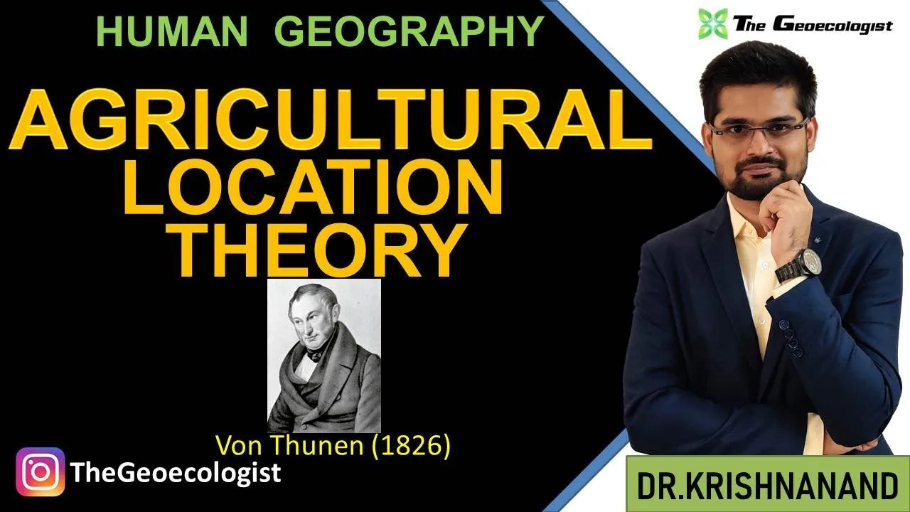
Table of Contents
- Historical Background of the Von Thunen Model
- Core Assumptions of the Model
- The Six Concentric Rings Explained
- Mathematical Illustration: The Bid‑Rent Function
- Criticisms and Limitations of the Von Thunen Model
- Empirical Tests and Case Studies
- Modern Applications and Relevance for UPSC
- Linking Theory to Current Events
- Conclusion
Von Thunen Model remains a cornerstone concept in human geography, especially for UPSC aspirants preparing the Geography Optional paper. Developed by Johann Heinrich von Thünen in 1826, this theoretical framework explains the spatial arrangement of agricultural activities around a central market, emphasizing transportation costs and land rent. The model assumes an isotropic plain, a single market city, and farmers seeking to maximize profit. Understanding the Von Thunen Model helps students grasp how economic principles shape rural landscapes, a topic frequently asked in UPSC mains and prelims. In Von Thunen Model, we explore the model’s assumptions, its iconic concentric rings, criticisms, and modern relevance, supported by data, case studies, and authoritative references.
- The Von Thunen Model was first presented in von Thünen’s book “Der isolierte Staat” (The Isolated State) in 1826.
- Von Thunen Model predicts six concentric zones: intensive farming, forestry, extensive grain fields, livestock ranching, and wilderness.
- Transportation cost is the primary determinant of land use intensity in the original model.
- Critics argue the model neglects soil heterogeneity, technological change, and multiple markets.
- Modern adaptations incorporate GIS, remote sensing, and socio-economic factors for realistic land‑use planning.
Historical Background of the Von Thunen Model
The Von Thunen model Wikipedia entry notes that Johann Heinrich von Thünen, a German farmer and economist, developed the model while managing his estate in Mecklenburg. Observing that crops closer to his farmstead yielded higher profits due to lower transport costs, he formalized the idea in 1826. The model emerged during the early Industrial Revolution, a period when railroads were beginning to reshape agricultural markets. Von Thünen’s work laid the foundation for location theory in economics and influenced later scholars such as Walter Christaller and August Lösch. For UPSC Geography Optional, knowing the historical context helps students appreciate the model’s evolution from a simple farm‑level observation to a universal spatial economics principle.
Core Assumptions of the Model
The Von Thunen Model rests on six critical assumptions: (1) An isolated state surrounded by wilderness, with a single central market city; (2) Uniform physical environment — flat, isotropic plain with no geographical barriers; (3) Uniform soil fertility across the plain; (4) Farmers are rational economic agents aiming to maximize profit or land rent; (5) Transportation occurs via ox‑cart on roads with uniform cost per unit distance; (6) No technological change or governmental intervention during the analysis period. These assumptions simplify reality to isolate the effect of distance on land rent. While restrictive, they allow clear mathematical derivation of the bid‑rent curve, which shows how land rent declines with distance from the market. In UPSC exam questions, candidates are often asked to list these assumptions and discuss their implications for real‑world applicability.
The Six Concentric Rings Explained
Based on the assumptions, the Von Thunen Model predicts six concentric zones around the central market, each characterized by a different land‑use type. The innermost zone (Zone 1) is devoted to intensive farming and market gardening because perishable, high‑value crops like vegetables and dairy need proximity to consumers to minimize spoilage and transport costs. Zone 2 consists of forestry, providing timber and fuel; wood is heavy and bulky, so it is located close enough to reduce haulage expenses but far enough to avoid competing with higher‑value crops. Zone 3 features extensive grain cultivation — wheat, rye — where lower transport costs per unit of value allow cultivation at moderate distances. Zone 4 is dedicated to livestock ranching, particularly animals that can be walked to market (e.g., cattle), thus saving on feed transport. Zone 5 represents a three‑field system with fallow land, reflecting less intensive agriculture. Finally, Zone 6 is the wilderness beyond the economic reach of farming. Each zone’s width depends on the gradient of the bid‑rent curve, which itself is a function of product value, weight, and perishability.
Mathematical Illustration: The Bid‑Rent Function
Von Thünen expressed land rent (R) as: R = Y(p – C) – Yf·d, where Y is yield per hectare, p is market price per unit, C is production cost per unit, Yf is the freight rate per unit distance, and d is distance from the market. The term Y(p – C) represents the profit per hectare at the market location, while Yf·d captures the increase in transportation cost with distance. Setting rent to zero gives the maximum distance a crop can be profitably grown: d_max = Y(p – C) / (Yf·f). This equation shows that high‑value, low‑bulk products (large p – C, small Yf) can be cultivated farther away, whereas low‑value, bulky goods are confined near the market. In classroom demonstrations, professors often plot these curves to visualize the alternating rings. For UPSC aspirants, being able to derive or interpret this formula demonstrates analytical depth valued in Geography Optional papers.
Criticisms and Limitations of the Von Thunen Model
Despite its elegance, the Von Thunen Model faces several criticisms. First, the assumption of an isotropic plain ignores real‑world topography, rivers, and soil variability, which significantly affect agricultural suitability. Second, the model presumes a single market, whereas modern economies feature multiple urban centers and global trade networks. Third, technological innovations — such as refrigeration, mechanized transport, and genetically modified crops — have altered the cost‑distance relationship, making the original bid‑rent curve less predictive. Fourth, socio‑economic factors like land tenure systems, labor availability, and government policies (subsidies, zoning) are omitted. Fifth, the model does not account for non‑agricultural land uses (residential, industrial) that compete for space near cities. Scholars like Peter Haggett and Michael Pacione have highlighted these gaps, suggesting that the model serves best as a conceptual starting point rather than a definitive predictive tool. In UPSC mains, candidates may be asked to evaluate these limitations and propose modifications.
Empirical Tests and Case Studies
Empirical validation of the Von Thunen Model yields mixed results. Studies in the American Midwest (e.g., Iowa and Illinois) have shown rough conformity of corn and soybean belts to predicted zones, especially when controlling for soil quality. In contrast, research in densely populated regions like the Netherlands reveals strong deviations due to intensive greenhouse farming and high land values unrelated to transport costs. A notable case study is the milk shed around London in the 19th century, where dairy farming concentrated within a 20‑mile radius, aligning with von Thünen’s predictions for perishable goods. More recently, GIS‑based analyses in India’s Punjab region have examined wheat‑rice rotations, finding that access to irrigation and electricity often outweighs distance effects. These findings underscore the model’s utility as a heuristic while emphasizing the need for localized adjustments.
Modern Applications and Relevance for UPSC
Today, planners adapt the Von Thunen Model to address contemporary challenges such as urban sprawl, food security, and sustainable agriculture. By integrating the model with Geographic Information Systems (GIS), analysts can generate suitability maps that weigh transport costs, soil quality, water availability, and socio‑economic constraints. For example, the Food and Agriculture Organization (FAO) uses modified bid‑rent concepts to guide peri‑urban agricultural zoning in fast‑growing cities of Africa and Asia. In the context of UPSC Geography Optional, understanding these applications equips students to answer questions on regional planning, agricultural policy, and the impact of globalization on rural economies. Moreover, the model’s emphasis on cost‑distance trade‑offs informs discussions on climate‑smart agriculture, where reducing food miles can lower carbon footprints.
Linking Theory to Current Events
Recent news highlights the enduring relevance of von Thünen’s insights. In 2023, the European Union’s Farm to Fork Strategy referenced transport‑efficiency considerations when promoting short food supply chains, echoing the model’s core principle. Similarly, India’s Draft National Land Use Policy 2022 discusses optimizing crop placement relative to urban centers to reduce post‑harvest losses — a direct application of von Thünen thinking. By linking theoretical constructs to such policy documents, aspirants can demonstrate analytical depth and awareness of current affairs, a trait highly rewarded in the UPSC interview stage.
Conclusion
The Von Thunen Model remains a foundational concept in human geography, offering a clear lens through which to examine the spatial organization of agricultural activities. While its assumptions are simplistic, the model’s core intuition — that transportation costs shape land use — continues to influence academic thought, policy formulation, and practical planning. For UPSC aspirants, mastering the model involves not only memorizing its zones and assumptions but also critically evaluating its limitations, applying mathematical tools, and connecting theory to real‑world examples. With the resources and explanations provided here, students can confidently tackle any question on the Von Thunen Model in their Geography Optional preparation.
Frequently Asked Questions
The Von Thunen Model is a theoretical framework in human geography that explains the spatial arrangement of agricultural activities around a central market based on transportation costs and land rent.
Johann Heinrich von Thünen, a German farmer and economist, developed the model in 1826, presenting it in his work "Der isolierte Staat" (The Isolated State).
It helps UPSC aspirants understand location theory, analyze agricultural land‑use patterns, evaluate model assumptions and criticisms, and apply concepts to contemporary issues like food security and regional planning.