Blog
Indus River Tributaries: Complete Guide to the Indus River System

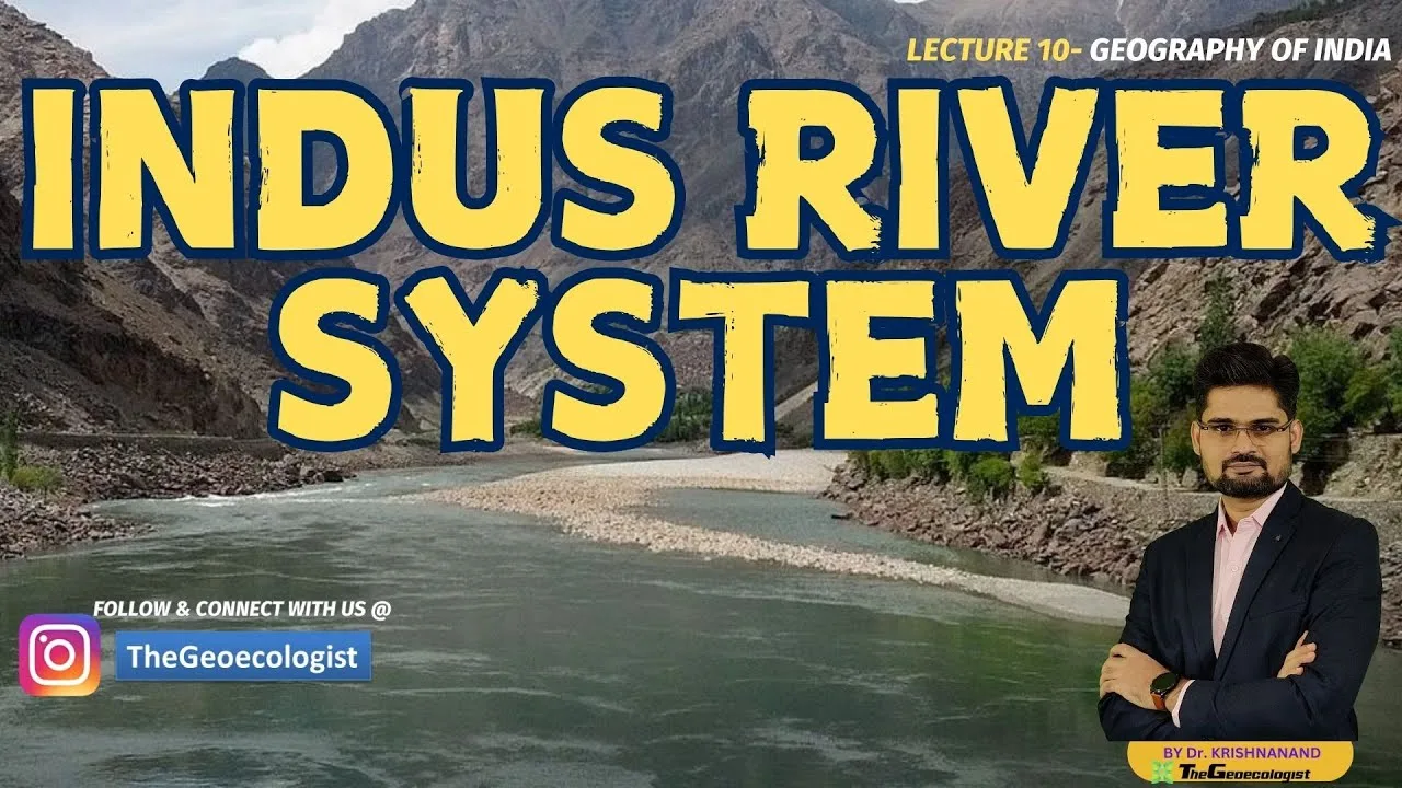
Table of Contents
- Origin and Course of the Indus River
- Drainage Pattern and Basin Characteristics
- Major Indus River Tributaries: Detailed Analysis
- 1. Jhelum River
- 2. Chenab River
- 3. Ravi River
- 4. Beas River
- 5. Sutlej River
- The Indus Waters Treaty: Geopolitical Framework
- Hydrological Significance and Water Resources
- Historical and Cultural Importance
- Economic Importance and Modern Challenges
- Environmental Conservation and Future Outlook
- Key Facts for Competitive Examinations
- Conclusion
The Indus River tributaries form one of the most extensive and historically significant river networks in South Asia, sustaining millions of people across India, Pakistan, and China. Originating from the Tibetan Plateau near the sacred Lake Mansarovar, the Indus River flows approximately 3,180 kilometers before emptying into the Arabian Sea, making Indus River tributaries one of the longest rivers in Asia. This comprehensive guide explores the origin, course, major tributaries, hydrological significance, and geopolitical importance of the Indus River system, providing essential insights for geography students, UPSC aspirants, and researchers alike.
- The Indus River originates near Lake Mansarovar on the Tibetan Plateau at an elevation of approximately 5,182 meters.
- Five major Indus River tributaries — Jhelum, Chenab, Ravi, Beas, and Sutlej — define the Punjab region (“Land of Five Rivers”).
- The Indus Waters Treaty (1960), brokered by the World Bank, governs water sharing between India and Pakistan.
- The Indus Basin covers roughly 1.12 million square kilometers, supporting over 300 million people.
- The river system nurtured the Indus Valley Civilization (c. 3300–1300 BCE), one of the world’s earliest urban cultures.
Origin and Course of the Indus River
The Indus River, known as Sindhu in Sanskrit and ancient texts, originates from the Bokhar Chu glacier on the northern slopes of Mount Kailash in the Tibetan Autonomous Region of China. The river’s source lies near the revered Lake Mansarovar at coordinates 31°15′N 81°15′E. From its glacial origin, the Indus flows northwest through the Ladakh region of India, carving spectacular gorges through the Himalayas and the Karakoram ranges. – a key consideration for Indus River tributaries.
After entering Pakistan near Skardu in Gilgit-Baltistan, the river turns southward, traversing the entire length of the country. The upper Indus valley is characterized by steep gradients, glacial meltwater contributions, and high sediment loads. As the river reaches the plains near Attock, Indus River tributaries is joined by the Kabul River from Afghanistan. Further downstream, the five major Indus River tributaries converge in the Punjab plains, dramatically increasing the river’s discharge. The combined flow then meanders through Sindh province before forming a vast delta near Thatta and emptying into the Arabian Sea.
Drainage Pattern and Basin Characteristics
The Indus drainage basin exhibits a dendritic to sub-dendritic pattern in its mountainous reaches, transitioning to a meandering pattern in the alluvial plains. The basin spans four countries: China (Tibet), India, Afghanistan, and Pakistan. According to the Wikipedia entry on the Indus River, the total drainage area is approximately 1,165,000 square kilometers, with Pakistan accounting for roughly 56%, India 26%, China 10%, and Afghanistan 8%. The basin’s average annual flow is estimated at 207 cubic kilometers, primarily derived from snowmelt and glacial melt (70–80%) and monsoon rainfall (20–30%).
Major Indus River Tributaries: Detailed Analysis
The five principal Indus River tributaries — collectively giving Punjab its name — are the Jhelum, Chenab, Ravi, Beas, and Sutlej. Each tributary has distinct hydrological characteristics, historical significance, and economic roles.
1. Jhelum River
The Jhelum River (Vitasta in Sanskrit) originates from the Verinag Spring at the foot of the Pir Panjal range in the Kashmir Valley at an elevation of 2,740 meters. Indus River tributaries flows through Srinagar, the Wular Lake (one of Asia’s largest freshwater lakes), and the Kashmir Valley before entering Pakistan near Muzaffarabad. The river’s total length is approximately 725 kilometers, with a drainage area of 28,490 square kilometers. The Jhelum is historically significant — Alexander the Great crossed it during his Indian campaign in 326 BCE, and it features prominently in the Rajatarangini, Kalhana’s 12th-century chronicle of Kashmir’s kings. The Mangla Dam, completed in 1967, is one of Pakistan’s largest reservoirs with a storage capacity of 7.39 million acre-feet, providing irrigation and hydroelectric power (1,000 MW).
2. Chenab River
The Chenab River (Chandrabhaga in ancient texts) is the largest of the Indus River tributaries by discharge volume. Indus River tributaries forms at the confluence of the Chandra and Bhaga streams near Tandi in Himachal Pradesh’s Lahaul and Spiti district. Flowing for approximately 960 kilometers, the Chenab drains an area of 26,755 square kilometers in India before entering Pakistan. The river’s average annual flow at the Marala Headworks is roughly 26.5 million acre-feet. Major hydropower projects include the Salal Dam (690 MW), Baglihar Dam (900 MW), and the under-construction Pakal Dul (1,000 MW) and Kiru (624 MW) projects. The Chenab’s waters are critical for the canal irrigation network in Pakistan’s Punjab province, particularly the Upper Chenab and Lower Chenab canals.
3. Ravi River
The Ravi River (Iravati in Vedic texts) originates in the Bara Bhangal region of Kangra district, Himachal Pradesh, at an elevation of 4,116 meters. Indus River tributaries flows for approximately 720 kilometers, with a drainage area of 14,442 square kilometers in India. The river forms part of the India-Pakistan border for about 80 kilometers before entering Pakistan fully. The Ravi’s waters are allocated to India under the Indus Waters Treaty, and major Indian projects include the Ranjit Sagar Dam (Thein Dam, 600 MW) and the Shahpurkandi Dam (under construction). The river supports intensive agriculture in the Gurdaspur, Amritsar, and Pathankot districts of Punjab, India.
4. Beas River
The Beas River (Vipasha in Sanskrit, Hyphasis in Greek) originates from the Beas Kund near Rohtang Pass in Himachal Pradesh at 4,361 meters. Indus River tributaries flows for approximately 470 kilometers entirely within India before joining the Sutlej at Harike in Punjab. The Beas drainage area covers 20,303 square kilometers. The Pong Dam (Maharana Pratap Sagar, 396 MW) and the Pandoh Dam (diversion to Sutlej) are key infrastructure projects. The Beas is famous for its scenic beauty through the Kullu Valley and its mention in Alexander the Great’s campaign — his army mutinied at the Hyphasis (Beas) in 326 BCE, marking the easternmost extent of his conquests.
5. Sutlej River
The Sutlej River (Shatadru in Sanskrit, Zaradros in Greek) is the longest of the Indus River tributaries, stretching approximately 1,450 kilometers. Indus River tributaries originates from the Rakshastal Lake near Mount Kailash in Tibet at 4,570 meters, making it a trans-Himalayan river. The Sutlej cuts through the Great Himalayan Range at the Shipki La pass, enters India in Himachal Pradesh, and flows through the Bhakra-Nangal project — one of India’s largest multipurpose river valley projects. The Bhakra Dam (226 meters high, 1,325 MW) and the downstream Nangal Dam regulate the river’s flow for irrigation, power, and flood control. The Sutlej’s waters are allocated to India under the Indus Waters Treaty, and the river supports the extensive Sirhind Canal system irrigating Punjab, Haryana, and Rajasthan.
The Indus Waters Treaty: Geopolitical Framework

The Indus Waters Treaty (IWT), signed on September 19, 1960, between India and Pakistan with the World Bank as a signatory, is one of the world’s most enduring transboundary water agreements. The treaty allocates the three eastern rivers (Ravi, Beas, Sutlej) to India and the three western rivers (Indus, Jhelum, Chenab) to Pakistan, with specific provisions for limited Indian use of western rivers for domestic, non-consumptive, and agricultural purposes. The treaty established the Permanent Indus Commission (PIC) with commissioners from both countries to facilitate data exchange, dispute resolution, and cooperation. Despite multiple wars and tensions, the IWT has survived, though recent developments — including India’s 2023 notice seeking modification under Article XII and disputes over the Kishanganga and Ratle hydroelectric projects — highlight evolving challenges.
Hydrological Significance and Water Resources
The Indus River system is the lifeline of Pakistan’s agriculture, providing irrigation to over 16 million hectares through the world’s largest contiguous irrigation network — the Indus Basin Irrigation System (IBIS). In India, the eastern rivers support agriculture in Punjab, Haryana, Himachal Pradesh, and Rajasthan. The system’s total hydroelectric potential is estimated at 33,000 MW, with approximately 15,000 MW developed. Glacial melt from the Himalaya-Karakoram-Hindu Kush (HKH) region contributes 70–80% of annual flow, making the system highly vulnerable to climate change. Studies by ICIMOD (International Centre for Integrated Mountain Development) indicate that HKH glaciers could lose 30–50% of their volume by 2100 under high-emission scenarios, threatening long-term water security for the Indus River tributaries.
Historical and Cultural Importance
The Indus River system was the cradle of the Indus Valley Civilization (IVC), also known as the Harappan Civilization, flourishing between 3300 and 1300 BCE across 1.25 million square kilometers. Major urban centers like Mohenjo-daro, Harappa, Dholavira, and Rakhigarhi demonstrate sophisticated urban planning, drainage systems, and water management. The river is mentioned in the Rigveda as Sindhu, the most celebrated river in the text, and features in Persian, Greek, and Chinese historical accounts. The name “India” itself derives from the Greek Indos and Persian Hindu, both referencing the Indus. Today, the river retains religious significance for Hindus, Sikhs, and Muslims, with pilgrimage sites like the Kailash-Mansarovar yatra and numerous gurdwaras along its banks.
Economic Importance and Modern Challenges
The Indus Basin supports an estimated 300 million people, with agriculture consuming 93% of water withdrawals. Major crops include wheat, rice, cotton, and sugarcane. The basin’s fisheries, particularly in the Indus Delta, support livelihoods for coastal communities. However, the system faces severe challenges: (1) Water scarcity — per capita water availability in Pakistan has declined from 5,260 m³ (1951) to below 1,000 m³ (2023), crossing the water scarcity threshold; (2) Pollution — industrial effluents, agricultural runoff, and untreated sewage degrade water quality, particularly in the Ravi and Sutlej; (3) Sedimentation — reservoirs like Tarbela and Mangla have lost 30–35% storage capacity; (4) Delta degradation — reduced freshwater flows (below 10 MAF/year vs. the 25 MAF recommended) have caused seawater intrusion, mangrove loss, and land subsidence in the Indus Delta; (5) Climate change — altered precipitation patterns, glacial lake outburst floods (GLOFs), and extreme events threaten infrastructure and communities.
Environmental Conservation and Future Outlook
Conservation efforts include the India Water Resources Information System (India-WRIS) for data-driven basin management, Pakistan’s National Water Policy (2018), and transboundary initiatives like the Indus Basin Knowledge Platform. The Living Indus Initiative, launched by Pakistan with UN support in 2021, aims to restore 30% of the basin’s degraded ecosystems by 2030 through 25 interventions including reforestation, wetland restoration, and pollution control. For the Indus River tributaries, sustainable management requires: enhanced hydro-meteorological monitoring, glacial lake risk mapping, demand-side management (drip irrigation, crop diversification), benefit-sharing mechanisms under the IWT, and climate-resilient infrastructure. The 2023 UN Water Conference highlighted the Indus as a priority basin for transboundary cooperation under SDG 6.5.2.
Key Facts for Competitive Examinations
- Origin: Bokhar Chu glacier, Mount Kailash, Tibet (31°15′N 81°15′E)
- Length: ~3,180 km (1,976 miles)
- Basin Area: ~1,165,000 km²
- Major Tributaries (Left Bank): Zanskar, Suru, Soan, Jhelum, Chenab, Ravi, Beas, Sutlej
- Major Tributaries (Right Bank): Shyok, Gilgit, Kabul, Kurram, Tochi, Gomal
- Indus Waters Treaty: Signed 19.09.1960; brokered by World Bank
- Eastern Rivers (India): Ravi, Beas, Sutlej
- Western Rivers (Pakistan): Indus, Jhelum, Chenab
- Largest Tributary by Discharge: Chenab
- Longest Tributary: Sutlej (~1,450 km)
- Major Dams: Bhakra, Tarbela, Mangla, Diamer-Bhasha (under construction)
- Indus Delta: 6th largest globally; Ramsar site; critical mangrove ecosystem
Conclusion
The Indus River tributaries represent far more than a hydrological network — they are the arteries of a civilization, the engine of regional economies, and a test case for transboundary water cooperation in a climate-stressed world. From the glacial headwaters of Tibet to the mangrove-fringed delta of Sindh, the Indus system connects diverse ecologies, cultures, and political entities. Understanding its geography, hydrology, treaties, and challenges is essential not only for academic success in examinations like UPSC, State PCS, and UGC-NET but also for informed citizenship in a region where water security is inseparable from peace and prosperity. As climate change accelerates and demand intensifies, the sustainable governance of the Indus River tributaries will remain one of South Asia’s defining challenges for the 21st century.
Frequently Asked Questions
The five major tributaries of the Indus River are the Jhelum, Chenab, Ravi, Beas, and Sutlej rivers. Together, they give the Punjab region its name, which means 'Land of Five Rivers'.
The Chenab River is the largest tributary of the Indus River by discharge volume, contributing approximately 26.5 million acre-feet annually at the Marala Headworks.
The Indus Waters Treaty allocates the three eastern rivers (Ravi, Beas, Sutlej) to India and the three western rivers (Indus, Jhelum, Chenab) to Pakistan, with limited provisions for Indian use of western rivers for non-consumptive purposes.