

Blog
Delhi NCR Extreme Weather: Why Summers Scorch and Winters Freeze

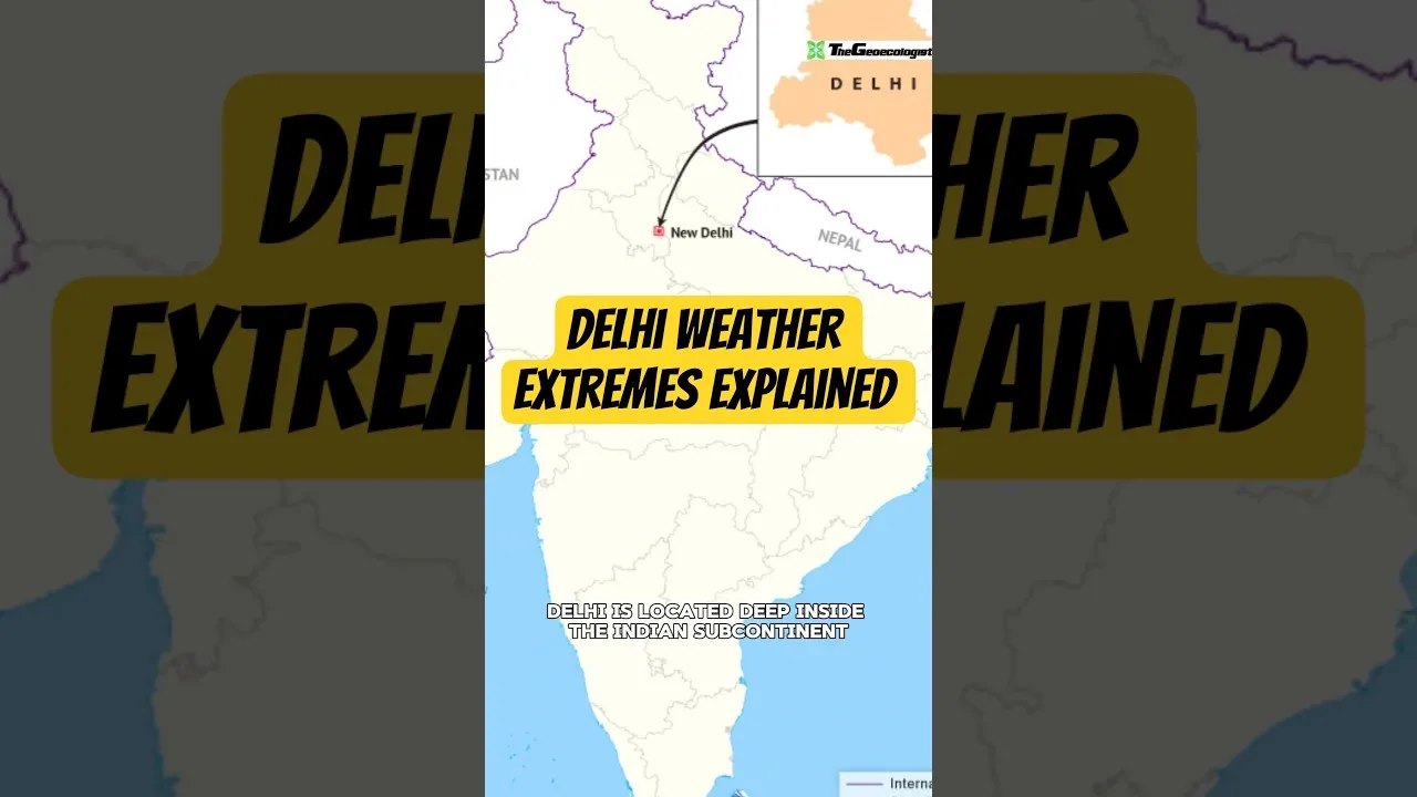
Table of Contents
- The Continental Effect: A Landlocked Struggle
- Scorching Summers: The Thar Desert's Fiery Breath
- The Mechanics of the Loo
- The Urban Heat Island Amplifier
- Chilly Winters: The Siberian Express
- Western Disturbances and Cold Waves
- The Role of Western Disturbances
- The Winter Trap: Temperature Inversion and the Smog Apocalypse
- Geo-Ecological Crossroads: The Himalayas and the Thar
- Climate Change: Loading the Dice for Greater Extremes
- Conclusion: Living with the Extremes
The Delhi NCR extreme weather pattern is one of the most dramatic climatic spectacles on the Indian subcontinent. Residents of the National Capital Region (NCR) do not merely experience seasonal changes; they endure a violent meteorological pendulum swing that defines life in this landlocked megacity. From the oppressive, skin-searing heat waves of May and June where mercury routinely breaches 45°C, to the bone-chilling, fog-laden mornings of January where temperatures plummet near freezing, the region serves as a living laboratory for continental climatic extremes. Understanding the Delhi NCR extreme weather phenomenon requires peeling back the layers of geography, atmospheric dynamics, and rapid urbanization that converge over the Indo-Gangetic plains.
- Continental Climate Core: Delhi NCR’s landlocked position, over 1,000 km from the nearest coast, removes the moderating influence of oceans, creating massive seasonal temperature swings.
- Summer Driver: The ‘Loo’ winds from the Thar Desert push temperatures above 45°C, amplified by the Urban Heat Island (UHI) effect of concrete infrastructure.
- Winter Driver: Cold continental air masses from Siberia and the Himalayas sweep down the Indo-Gangetic plains unobstructed, causing severe cold waves and dense fog.
- Pollution Trap: Winter temperature inversions trap pollutants near the surface, creating the infamous toxic smog that exacerbates the cold.
- Climate Change Signal: Rising global temperatures are increasing the frequency and intensity of both heatwaves and erratic winter spells, making adaptation critical.
The Continental Effect: A Landlocked Struggle
At its core, the Delhi NCR extreme weather regime is a textbook definition of a continental climate (Köppen classification: BSh bordering Cwa). Unlike coastal megacities such as Mumbai or Chennai, which benefit from the ocean’s immense thermal inertia—water heats and cools slowly, stabilizing adjacent land temperatures—Delhi sits deep in the interior of the Eurasian landmass. The specific heat capacity of land is significantly lower than water; consequently, the ground heats rapidly under the summer sun and radiates heat just as quickly during winter nights. This fundamental physical geography dictates that the annual temperature range in Delhi NCR can exceed 40°C, a variance rarely seen in coastal zones. According to the India Meteorological Department (IMD), the region records among the highest diurnal and annual temperature ranges for any major metropolitan area globally.
Scorching Summers: The Thar Desert’s Fiery Breath
The Mechanics of the Loo
As the sun migrates northward past the Tropic of Cancer in April, the Delhi NCR extreme weather machine shifts into high gear. The primary antagonist is the Loo—strong, hot, desiccating winds originating from the Thar Desert (Great Indian Desert) in Rajasthan. These winds are not merely hot air; they are adiabatically warmed air masses descending the leeward side of the Aravalli Range, compressed and heated further as they descend into the plains. Humidity levels often crash below 10%, stripping moisture from soil, vegetation, and human skin alike. The IMD defines a heatwave in the plains when the maximum temperature reaches 40°C or more, or 4.5°C above normal. In recent years, Delhi has logged temperatures exceeding 49°C in localized pockets (e.g., Mungeshpur, Narela in May 2024), pushing the limits of human physiological tolerance.
The Urban Heat Island Amplifier
The natural severity of the Loo is brutally amplified by the Urban Heat Island (UHI) effect. The NCR’s explosive urbanization—expanding from 1,484 sq km (Delhi NCT) to over 55,000 sq km (NCR)—has replaced vegetative cover and permeable soil with concrete, asphalt, and steel. These materials have high thermal conductivity and low albedo, absorbing solar radiation by day and re-radiating Delhi NCR extreme weather slowly at night. A 2022 study by the Centre for Science and Environment (CSE) noted that night-time temperatures in core urban zones like Connaught Place can remain 3–5°C higher than in the peripheral rural fringes of the NCR. This denies residents nocturnal physiological recovery, compounding heat stress mortality risks, particularly for the elderly and outdoor laborers.
Chilly Winters: The Siberian Express

Western Disturbances and Cold Waves
When the sun retreats southward post-monsoon, the Delhi NCR extreme weather narrative flips entirely. By late December, the region falls under the grip of the Siberian High—a massive, semi-permanent high-pressure system centered over Siberia. Cold, dense continental air masses spill southward, funneled by the Himalayan barrier which prevents them from moving further east, directing them instead across the Indo-Gangetic plains. These cold waves (defined by IMD as minimum temperature ≤ 4°C or 4.5°C below normal) can drive mercury down to 1–2°C in open areas like the Ridge or Palam. The all-time record low for Delhi stands at -0.6°C (recorded in January 1935 at the Ridge observatory), a testament to the raw power of continental air advection.
The Role of Western Disturbances
Intermittent relief and complexity arrive via Western Disturbances (WDs)—extratropical storms originating in the Mediterranean/Caspian Sea region, steered by the subtropical westerly jet stream. While WDs bring precious winter rain and snow to the Himalayas, their passage often tightens the pressure gradient over North India, pulling even colder air down from the north in their wake (cold advection). Post-WD clear skies and calm winds create the perfect radiative cooling setup, leading to the iconic dense fog events that paralyze transport (rail, road, air) for days. The Climate of Delhi page on Wikipedia details how these interacting systems create the region’s unique winter signature. — a key consideration for Delhi NCR extreme weather.
The Winter Trap: Temperature Inversion and the Smog Apocalypse
Perhaps the most defining feature of modern Delhi NCR extreme weather is not the cold itself, but what the cold traps. Under normal atmospheric conditions, temperature decreases with altitude (lapse rate), allowing warm surface air to rise and disperse pollutants. However, during the peak winter months (December–January), a powerful temperature inversion establishes itself. A layer of warmer air overlies a shallow layer of cold, stagnant air at the surface—effectively putting a “lid” on the planetary boundary layer (often < 500m thick).
This meteorological trap coincides with the post-harvest paddy residue burning season in Punjab and Haryana (October–November) and persistent local emissions (vehicular, industrial, construction dust, biomass burning). The result is the infamous Delhi Smog—a toxic cocktail of PM2.5, PM10, NOx, SO2, and ozone. AQI (Air Quality Index) values frequently breach 500 (the “Severe+” or “Emergency” category), reducing visibility to meters and turning the atmosphere into a public health emergency. The smog layer itself modifies the local radiation budget: Delhi NCR extreme weather absorbs outgoing longwave radiation, slightly warming the layer aloft, while reducing incoming solar radiation at the surface, further suppressing daytime maximum temperatures and intensifying the “feels like” cold. This feedback loop is a stark example of how anthropogenic emissions interact with the Delhi NCR extreme weather dynamics to create a compound hazard.
Geo-Ecological Crossroads: The Himalayas and the Thar
From a geo-ecological perspective, Delhi NCR occupies a unique and vulnerable transition zone. To the north, the Himalayas act as a monumental orographic barrier—blocking cold Siberian air from penetrating deeper into the subcontinent, but also trapping moisture-laden monsoon winds, creating the sharp climatic gradient that defines North India. To the west and southwest lies the Thar Desert, a source of heat and dust (mineral aerosols) that modulate both summer heat intensity and monsoon onset dynamics. The Aravalli Range, one of the world’s oldest fold mountain systems, runs through the NCR (Delhi Ridge), providing a fragmented but critical green lung and a minor topographic influence on wind flow. — a key consideration for Delhi NCR extreme weather.
This positioning makes the region a “battlefield” for air masses. The pre-monsoon season (April–June) sees the clash between the dry, hot continental air (Loo) and the advancing moist maritime air from the Bay of Bengal/Arabian Sea. The monsoon onset (typically late June) is often marked by violent dust storms (andhis) and squall lines as these air masses collide. Post-monsoon, the retreat of the ITCZ (Intertropical Convergence Zone) and the establishment of the subtropical high pressure sets the stage for the winter inversion regime. Understanding these teleconnections is vital for forecasting. The World Bank Climate Change Knowledge Portal provides downscaled projections indicating that this crossroads will experience amplified warming and more erratic precipitation extremes under all RCPs (Representative Concentration Pathways). — a key consideration for Delhi NCR extreme weather.
Climate Change: Loading the Dice for Greater Extremes
The baseline Delhi NCR extreme weather is being fundamentally altered by anthropogenic climate change. The IPCC AR6 (Sixth Assessment Report) identifies South Asia as a “hotspot” for heat stress. Key observed and projected trends for the NCR include:
- Heatwave Frequency/Duration: A 2021 study in Earth’s Future showed a significant increase in heatwave days over the Indo-Gangetic plains since 1980. The 2022 and 2024 heatwaves were record-breaking in duration and spatial extent.
- Wet-Bulb Temperatures: Rising humidity combined with heat pushes wet-bulb temperatures (TW) closer to the human survivability threshold of 35°C. NCR’s irrigation-intensive agriculture and urban water bodies add local moisture, exacerbating this risk.
- Monsoon Variability: While total seasonal rainfall may not change drastically, the distribution is shifting—fewer rainy days, but more extreme rainfall events (>150mm/day), increasing urban flash flood risk (as seen in July 2023).
- Winter Warming Trend: Paradoxically, while cold waves still occur, the *average* winter minimum temperature is rising. However, Arctic amplification and jet stream waviness may paradoxically increase the frequency of severe cold air outbreaks (the “Warm Arctic, Cold Continents” hypothesis), making winter extremes less predictable.
These changes demand a shift from reactive disaster management to proactive climate resilience planning: heat action plans (HAPs) with granular ward-level vulnerability mapping, massive urban greening and blue infrastructure (water bodies) expansion to combat UHI, stringent enforcement of emission norms (GRAP – Graded Response Action Plan) year-round, and climate-proofing of critical infrastructure (power, water, transport). — a key consideration for Delhi NCR extreme weather.
Conclusion: Living with the Extremes
The Delhi NCR extreme weather is not merely a topic of meteorological curiosity; Delhi NCR extreme weather is the defining environmental constraint shaping the lives of over 46 million people (NCR population, 2021 Census projection). It dictates energy demand curves, water security, labor productivity, public health calendars, and urban form. The region’s geography—landlocked, perched between desert and mountain, sprawling over a fertile but fragile alluvial plain—sets the stage. But the script is being rewritten by urbanization and greenhouse gases. Navigating this future requires integrating hard geoscience (boundary layer meteorology, climatology) with urban planning, public policy, and community engagement. The extremes are here to stay; our capacity to anticipate, adapt, and mitigate must evolve faster than the climate itself.
Frequently Asked Questions
Delhi NCR has a continental climate because it is landlocked, over 1,000 km from the sea. Land heats and cools rapidly compared to water, causing massive seasonal swings—summers exceed 45°C due to Thar Desert 'Loo' winds, while winters drop near freezing due to cold air from Siberia and the Himalayas.
A temperature inversion traps a shallow layer of cold air near the ground under a lid of warm air. This prevents the dispersion of pollutants from stubble burning, vehicles, and industry, creating toxic smog with AQI often exceeding 500.
Climate change is increasing the frequency, duration, and intensity of heatwaves, pushing wet-bulb temperatures toward human limits. It is also making monsoon rainfall more erratic (fewer but heavier days) and altering winter patterns, potentially increasing both severe cold snaps and overall winter warming trends.
