Blog
Observing Treeline and landforms at #moilatop #chakrata #thegeoecologist #shorts

Observing Treeline and landforms at #moilatop #chakrata #thegeoecologist #shorts
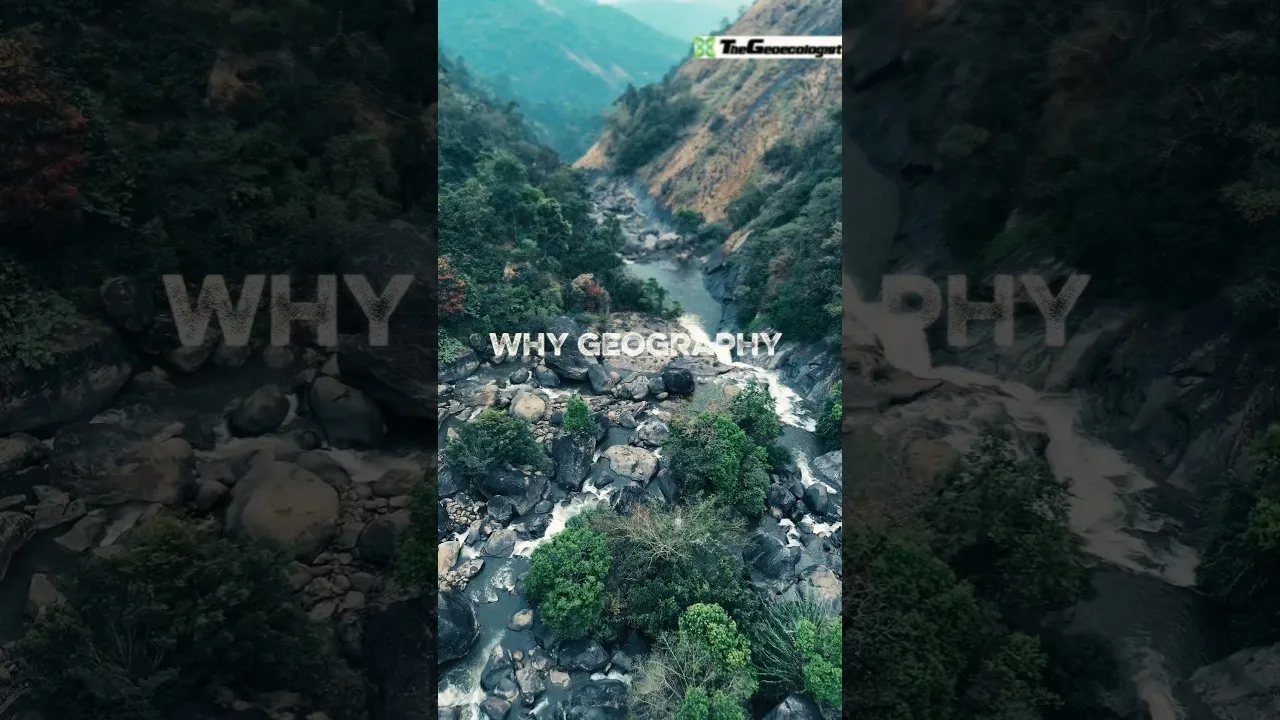
Exploring Moila Top, Chakrata: Where Treelines and Glacial Legacies Unravel Himalayan Secrets
🌄 By Dr. Krishnanand (thegeoecologist) and Team, Sharda University
Nestled in the rugged terrains of Chakrata, Moila Top stands as a silent witness to the dramatic interplay of ecology and geology in the Western Himalaya. Recently, our interdisciplinary team from Sharda University’s School of Social Sciences and Humanities (@sshss_sharda_university) embarked on an expedition to this remote yet scientifically profound site. Our mission? To decode the stories etched into its treeline thresholds and glacially sculpted phyllitic mounds—a narrative spanning millennia.
Treeline Ecology: Nature’s Elevational Frontier
At Moila Top, the treeline isn’t just a visual boundary; it’s an ecological tipping point. Here, towering conifers like Abies pindrow (Himalayan fir) and Quercus semecarpifolia (Himalayan oak) abruptly yield to alpine meadows, marking the harsh transition where temperature, moisture, and soil stability limit tree growth. For our team—comprising geographers, ecologists, and students—this threshold offered critical insights into:
1️⃣ Climate Change Impacts: Shifts in treeline elevation serve as bioindicators of warming trends in the Himalayas.
2️⃣ Species Adaptation: Studying stunted “krummholz” trees revealed strategies flora employ to survive extreme winds and frost.
Glacial Landforms: Echoes of the Pleistocene Ice Age
Beneath the verdant landscape lies a ancient glacial saga. Moila Top’s phyllitic mounds—weathered metamorphic rocks—bear unmistakable scars of Pleistocene-era ice dynamics. These rounded, streamlined landforms, sculpted by glaciers over 12,000 years ago, tell tales of:
✅ Erosional Patterns: Ice sheets grinding and polishing bedrock into characteristic whaleback shapes.
✅ Depositional Legacy: Moraine fragments scattered like geological breadcrumbs, hinting at past ice extents.
Our geomorphology team documented these features using drones and LiDAR-assisted mapping, bridging past ice dynamics with present-day landscape vulnerabilities.
Fieldwork as Pedagogy: Bridging Theory and Terrain
For students of @sharda_university, Moila Top was a living laboratory. From assessing soil profiles to measuring microclimatic gradients, the expedition transformed textbook concepts into tangible skills:
🔹 Techniques Practiced: GPS-based terrain modeling, sediment sampling, and ecological transects.
🔹 Interdisciplinary Synergy: Merging biogeography with geomorphology to understand how ice-age legacies shape modern ecosystems.
Why Moila Top Matters for the Western Himalaya
This site epitomizes the geomorphic-bioclimatic transition zone of the Lesser Himalayas. As glacial retreat accelerates, understanding Moila Top’s past becomes urgent to forecast ecological futures. Its phyllitic bedrock influences soil fertility, hydrology, and vegetation resilience—making it a microcosm of broader Himalayan changes.
Final Reflections
As Dr. Krishnanand (@thegeoecologist) noted: “Moila Top isn’t just rocks and trees—it’s an archive of Earth’s memory. Here, every landform whispers secrets of ice, climate, and life in flux.” Our team left Chakrata with data, samples, and a renewed drive to advocate for Himalayan conservation—one treeline and glacial mound at a time.
🌐 Follow #thegeoecologist for more fieldwork stories!
TreelineEcology #GlacialLandforms #HimalayanGeomorphology #FieldTechniques #GeographyLover #Geographers #ClimateFrontiers
To Download E-Books & Study Material Visit The Shop Page