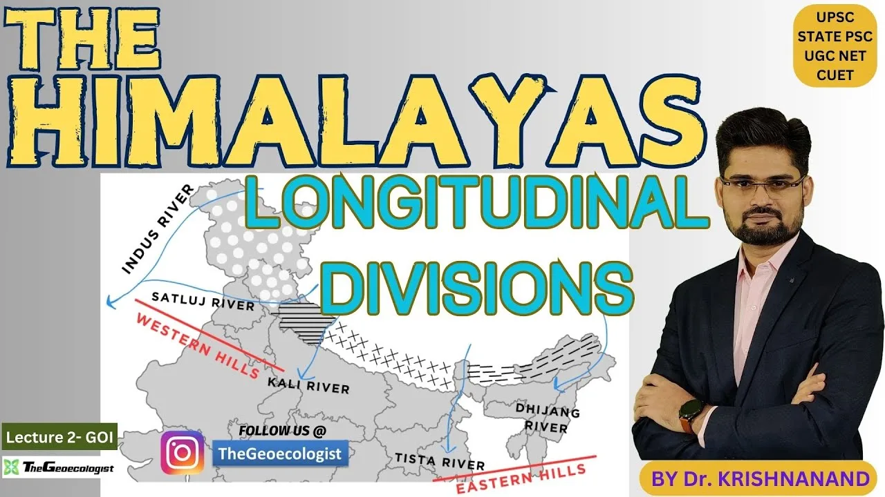
Longitudinal Divisions of the Himalayas- TheGeoecologist
Exploring the Longitudinal Divisions of the Himalayas: Burrard and Gansser’s Legacy
The Himalayas, Earth’s loftiest mountain range, stretch majestically across five countries, forming a natural barrier between the Indian subcontinent and the Tibetan Plateau. Beyond their awe-inspiring beauty, the Himalayas are a geological marvel, shaped by tectonic forces and categorized into distinct longitudinal sections. This article delves into these divisions, highlighting the pioneering work of Sidney Gerald Burrard and August Gansser, whose contributions revolutionized our understanding of this dynamic region.
The Four Longitudinal Divisions
Punjab Himalayas:
Extending from the Indus River in Pakistan to the Sutlej River in India, this westernmost section includes regions like Jammu & Kashmir and Himachal Pradesh. Notable peaks include Nanga Parbat (8,126 m), while the Kashmir Valley and Dal Lake are key geographical features. The region’s complex geology features thrust faults and young sedimentary rocks.Kumaon Himalayas:
Spanning between the Sutlej and Kali Rivers, this section covers Uttarakhand and parts of Nepal. Renowned for peaks like Nanda Devi (7,816 m) and glacial systems such as Gangotri, it is a hub for trekking and pilgrimage. The Lesser Himalayas here are marked by metamorphic rocks and deep valleys.Nepal Himalayas:
Bounded by the Kali and Tista Rivers, this central section hosts iconic summits, including Everest (8,848 m) and Kanchenjunga (8,586 m). The Kali Gandaki Gorge, the world’s deepest, and the fertile Kathmandu Valley underscore its geographical diversity, shaped by intense tectonic activity.- Assam Himalayas:
Stretching eastward from the Tista River to the Brahmaputra, this region encompasses Arunachal Pradesh, Bhutan, and Sikkim. Peaks like Namcha Barwa (7,756 m) and the biodiverse Brahmaputra Valley highlight its significance. High rainfall fosters dense forests and unique ecosystems.
Sidney Gerald Burrard: Architect of Himalayan Classification
Sir Sidney Gerald Burrard, a British surveyor with the Survey of India in the early 20th century, laid the groundwork for Himalayan categorization. His seminal work, The Geography and Geology of the Himalaya Mountains and Tibet (1907), introduced the longitudinal division framework. By integrating topographical and geological data, Burrard provided a systematic approach to understanding the Himalayas’ regional variability, emphasizing their geomorphic and structural differences.
August Gansser: Unveiling Geological Secrets
Swiss geologist August Gansser’s fieldwork in the 1930s–1950s brought tectonic insights to Burrard’s framework. His landmark book, Geology of the Himalayas (1964), detailed the range’s formation through the Indian-Eurasian plate collision. Gansser identified key geological features, such as the Main Central Thrust and the Indus-Tsangpo Suture Zone, explaining variations in rock types and metamorphism across divisions. His work bridged geography and geology, offering a dynamic view of the Himalayas’ evolution.
Tectonic Processes and Regional Variability
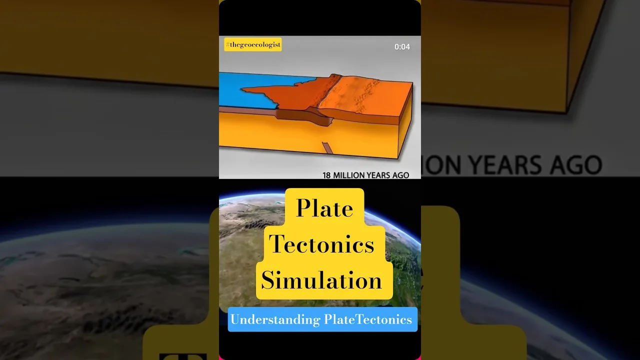
The Himalayas’ formation, ongoing since the Eocene epoch, results from continental collision, causing uplift and crustal shortening. This process manifests differently across longitudinal divisions:
- The Punjab Himalayas display folded sedimentary layers due to lesser compression.
- The Kumaon and Nepal regions exhibit intense metamorphism and high-grade gneisses from deeper crustal exposure.
- The Assam Himalayas feature rapid erosion and frequent seismicity due to the Indian Plate’s oblique collision.
Conclusion: A Legacy of Knowledge
Burrard’s classification and Gansser’s tectonic insights remain foundational for geologists and geographers. Their work not only clarifies the Himalayas’ structure but also aids in studying biodiversity, climate patterns, and seismic risks. For enthusiasts and scholars alike, understanding these divisions enriches appreciation of how tectonic forces sculpt one of Earth’s most extraordinary landscapes.
Why It Matters:
These studies are vital for disaster preparedness, conservation, and unraveling the Himalayas’ role in global climate systems. As tectonic activity continues, the lessons from Burrard and Gansser remind us of the dynamic interplay between Earth’s crust and its surface.
Subscribe to TheGeoecologist for deeper dives into planetary wonders, and share your thoughts on how the Himalayas inspire your curiosity!
Himalayas #Geology #NaturalWonders #Geography #GeoScience
To Download E-Books & Study Material Visit The Shop Page