Blog
India drainage systems: Himalayan & Peninsular Rivers Explained

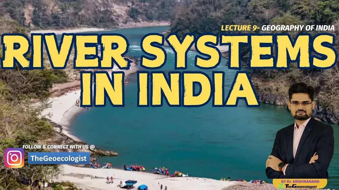
Table of Contents
India drainage systems are a fascinating subject that illustrates how the country’s diverse topography influences its rivers, ecosystems, and human settlements. The Himalayan and Peninsular drainage systems exhibit contrasting characteristics due to differences in origin, age, gradient, and rainfall patterns. Understanding these systems is crucial for agriculture, hydropower, ecology, and cultural heritage. In this comprehensive guide, we explore the features, significance, and comparative aspects of India’s major river basins.
- Himalayan rivers are perennial, fed by glaciers and monsoon rains.
- Peninsular rivers are seasonal, mainly rain‑fed and often dry in summer.
- Drainage patterns vary from dendritic to trellis, radial, and rectangular.
- Rivers support agriculture, hydropower, biodiversity, and cultural practices.
- Understanding India drainage systems is essential for UPSC aspirants and geography enthusiasts.
India drainage systems: Himalayan Rivers Overview
The Himalayan drainage system originates from the young, towering Himalayas. Major rivers such as the Ganga, Brahmaputra, and Indus are perennial because they receive water from both snowmelt and summer monsoon. These rivers carry a high sediment load, estimated at over 1.6 billion tonnes annually for the Ganga‑Brahmaputra system, which enriches the Indo‑Gangetic plains. Their youthful stage is evident in deep gorges, steep valleys, and a dendritic drainage pattern that resembles tree branches. The Ganga, originating at the Gangotri Glacier (approximately 3,892 m above sea level), flows about 2,525 km before emptying into the Bay of Bengal. The Brahmaputra, known as the Tsangpo in Tibet, travels roughly 2,900 km and joins the Ganga in Bangladesh to form the world’s largest delta. The Indus, though largely in Pakistan, contributes significantly to the northwestern Indian states of Jammu & Kashmir and Punjab.
India drainage systems: Peninsular Rivers Overview

The Peninsular drainage system drains the ancient Deccan Plateau and is primarily rain‑fed, making the rivers seasonal. Prominent examples include the Godavari, Krishna, and Kaveri. The Godavari, often called the “Dakshin Ganga,” originates near Trimbak in Maharashtra and travels about 1,465 km before emptying into the Bay of Bengal. The Krishna rises in the Western Ghats near Mahabaleshwar and covers roughly 1,400 km, supporting extensive irrigation in Maharashtra, Karnataka, Telangana, and Andhra Pradesh. The Kaveri, sourced at Talakaveri in Karnataka, flows about 800 km and is vital for agriculture in Tamil Nadu and Karnataka. Compared to Himalayan rivers, Peninsular rivers carry a lower sediment load due to gentler gradients and older geological maturity, exhibiting well‑developed floodplains and meandering courses. Their drainage patterns are diverse: trellis patterns are common in the Satpura‑Vindhya region, radial patterns appear around isolated high points like the Amarkantak Plateau, and rectangular patterns develop in jointed rock terrains.
India drainage systems: Comparison of Drainage Patterns
Drainage patterns are shaped by underlying geology and topography. In the Himalayan belt, the dominant pattern is dendritic, where tributaries join the main river at acute angles, resembling a tree’s branching structure. This pattern reflects the uniform resistance of the mountainous rocks. In contrast, many Peninsular regions display a trellis pattern, especially where parallel ridges (such as the Satpura and Vindhya ranges) force tributaries to meet the main river at right angles. The radial pattern emerges when rivers originate from a central high point and flow outward in all directions; a classic example is the rivers emanating from the Amarkantak Plateau in Madhya Pradesh. Lastly, the rectangular pattern occurs in areas with tightly jointed or faulted rocks, where rivers follow linear weaknesses, creating right‑angled bends; this is observed in parts of the Chotanagpur Plateau.
India drainage systems: Significance and Impact
India drainage systems are the lifeline of the nation, shaping its geography, economy, and culture. Agriculture depends heavily on river water: the Indo‑Gangetic plains, fed by the Ganga and Brahmaputra, produce over 50 % of the country’s food grains, while Peninsular rivers irrigate crucial crops such as rice, sugarcane, and cotton in states like Tamil Nadu, Karnataka, and Andhra Pradesh. Hydropower potential is immense in the Himalayan rivers due to their steep gradients; projects like the Tehri Dam (2,400 MW) on the Bhagirathi and the Subansiri Lower Dam (2,000 MW) on the Brahmaputra contribute significantly to India’s renewable energy goals. Ecologically, rivers sustain diverse habitats: the Gangetic dolphin, gharial, and numerous fish species thrive in these waters, while wetlands like the Sundarbans (fed by the Ganga‑Brahmaputra delta) provide critical breeding grounds for birds and support mangrove forests. Culturally, rivers such as the Ganga, Kaveri, and Godavari are revered in Hinduism, hosting millions of pilgrims during festivals like Kumbh Mela and Pushkaralu. Economically, river basins facilitate trade, transport, and urbanization; cities like Kolkata, Hyderabad, and Chennai have grown along river corridors, boosting regional development.
India drainage systems: Why Study for UPSC and Exams
For UPSC aspirants, India drainage systems form a core component of Geography Paper I, appearing frequently in both Prelims and Mains. Questions often compare Himalayan and Peninsular rivers, ask about drainage patterns, or request details on specific rivers’ origins, tributaries, and economic importance. A solid grasp of this topic aids in answering interdisciplinary questions linking environment, disaster management, and regional planning. Beyond exams, knowledge of India drainage systems is valuable for professionals in water resources engineering, environmental consultancy, and policy making, as it informs decisions on flood control, irrigation planning, and sustainable development.
In summary, India drainage systems embody the country’s natural diversity and human reliance on water resources. From the icy heights of the Himalayas to the ancient plateaus of the Deccan, each river system tells a story of geological evolution, climatic influence, and cultural continuity. By studying these systems, we gain insights into past landscapes, present challenges, and future opportunities for a water‑secure India.
Frequently Asked Questions
Himalayan rivers are perennial, glacier‑fed, high sediment load, youthful stage with dendritic pattern. Peninsular rivers are seasonal, rain‑fed, lower sediment load, mature stage with varied patterns like trellis, radial, rectangular.
The Godavari is the longest river in Peninsular India, often called the Dakshin Ganga, with a length of about 1,465 km.
Himalayan rivers have steep gradients and high flow velocities, making them ideal for hydroelectric projects; examples include the Tehri and Subansiri dams.