Blog
Hartshorne Boundary Classification: Complete Guide to Genetic & Morphological Types

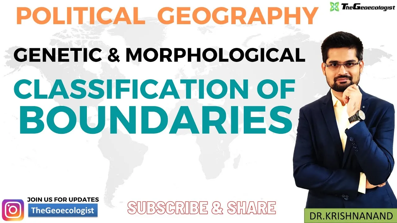
Table of Contents
- What Is the Hartshorne Boundary Classification?
- Genetic Classification of Boundaries: The Fourfold Typology
- Antecedent Boundaries: Drawn Before Settlement
- Subsequent Boundaries: Negotiated After Cultural Development
- Superimposed Boundaries: Imposed by External Powers
- Relic Boundaries: Historical Remnants
- Morphological Classification: Physical Form and Geometric Logic
- Physical (Natural) Boundaries: Following Geographic Features
- Geometric Boundaries: Abstract Lines of Latitude/Longitude
- Contemporary Relevance: Applying the Hartshorne Boundary Classification Today
- Israel–Palestine: Layered Boundary Genesis
- Ukraine: Soviet-Era Internal Boundaries Internationalized
- Arctic: Emerging Boundaries in a Melting Frontier
- Hartshorne Boundary Classification for UPSC & Competitive Examinations
- Critiques, Limitations, and Modern Adaptations
- Conclusion: Why the Hartshorne Boundary Classification Endures
The Hartshorne boundary classification remains one of the most enduring frameworks in political geography for understanding how territorial limits originate, evolve, and function. Developed by Dr. Richard Hartshorne in the mid-20th century, this system categorizes boundaries based on their genetic origin—meaning the historical circumstances of their creation—and their morphological expression on the landscape. For students preparing for competitive examinations like the UPSC, researchers analyzing geopolitical conflicts, and practitioners in international relations, mastering the Hartshorne boundary classification provides essential analytical tools to decode contemporary territorial disputes from the India-China border to African post-colonial frontiers.
- Genetic classification categorizes boundaries by historical timing relative to cultural landscape development: antecedent, subsequent, superimposed, and relic.
- Morphological classification distinguishes boundaries by physical form: natural (physical) boundaries following geographic features versus geometric boundaries following lines of latitude/longitude.
- Hartshorne’s framework, published in his seminal 1950 work “The Functional Approach to Political Geography,” remains the standard reference in university curricula worldwide.
- Superimposed boundaries—imposed by external powers ignoring local realities—account for a disproportionate share of modern interstate conflicts.
- The Hartshorne boundary classification directly informs analysis of the India-Pakistan partition, African colonial borders, Arctic claims, and Israel-Palestine territorial disputes.
What Is the Hartshorne Boundary Classification?
Richard Hartshorne (1899–1992), widely regarded as the father of modern political geography in the United States, introduced his genetic classification in the 1930s and refined it in his 1950 magnum opus. A professor at the University of Wisconsin-Madison, Hartshorne argued that boundaries are not merely lines on maps but “dynamic entities shaped by history, power, and geography.” His Hartshorne boundary classification operates on two complementary axes: genetic (origin/history) and morphological (physical form). This dual approach allows geographers to trace both why a boundary exists and how it manifests physically.
The genetic dimension asks: When was this boundary drawn relative to human settlement and cultural development? The morphological dimension asks: Does this boundary follow natural features or abstract geometric lines? Together, these questions reveal whether a boundary is likely to be stable, contested, or a source of persistent friction. As Hartshorne himself noted, “The character of a boundary is determined largely by the circumstances of its origin.” This insight underpins the entire Hartshorne boundary classification system.
Genetic Classification of Boundaries: The Fourfold Typology
The genetic component of the Hartshorne boundary classification identifies four primary categories based on the chronological relationship between boundary demarcation and cultural landscape evolution. Each type carries distinct implications for stability, legitimacy, and conflict potential.
Antecedent Boundaries: Drawn Before Settlement
Antecedent boundaries are established before significant cultural landscape development occurs in the adjacent territories. They are typically drawn through sparsely populated or uninhabited regions where no established cultural groups exist to be divided. The classic example is the United States–Canada border along the 49th parallel north, negotiated by the 1818 Anglo-American Convention and the 1846 Oregon Treaty—decades before intensive agricultural settlement by either nation.
Other examples include the Alaska–Canada boundary (settled 1903) and early Australian colonial boundaries. The key advantage of antecedent boundaries in the Hartshorne boundary classification is their conflict-minimizing character: because they precede cultural differentiation, they rarely bisect homogeneous ethnic, linguistic, or religious groups. However, they may later prove maladapted to emerging cultural geographies, as seen when the 49th parallel divided Indigenous nations like the Blackfoot Confederacy whose traditional territories spanned the line.
Subsequent Boundaries: Negotiated After Cultural Development
Subsequent boundaries (also called ethnographic boundaries) are drawn after cultural landscapes have matured, ideally reflecting existing demographic, linguistic, or religious divisions. They emerge through negotiation, treaty, or conflict resolution between established communities. The India–Bangladesh border, finalized after the 1947 Partition and refined by the 1974 Land Boundary Agreement, exemplifies a subsequent boundary attempting to follow Bengali-speaking Muslim-majority regions.
European borders like the France–Germany frontier (post-1919, post-1945) and the Czechoslovakia–Hungary boundary (Treaty of Trianon, 1920) also illustrate subsequent demarcation. In the Hartshorne boundary classification, subsequent boundaries score high on legitimacy but face practical challenges: cultural landscapes are rarely discrete, leading to enclaves, exclaves, and minority populations on the “wrong” side. The India–Bangladesh enclaves (chhitmahals)—162 parcels of land exchanged only in 2015—demonstrate the messy reality of subsequent boundary-making.
Superimposed Boundaries: Imposed by External Powers
Superimposed boundaries are the most conflict-prone category in the Hartshorne boundary classification. They are imposed by external authorities—colonial powers, victorious armies, or international bodies—with deliberate disregard for pre-existing cultural, ethnic, or environmental realities. The paradigmatic cases are the Scramble for Africa boundaries drawn at the 1884–85 Berlin Conference, where European powers partitioned the continent using geometric lines that bisected over 1,000 Indigenous ethnic groups.
The Congo Basin boundaries, the Nigeria–Cameroon frontier, and the Libya–Chad border all originated as superimposed lines. In the Middle East, the Sykes–Picot Agreement (1916) and subsequent League of Nations mandates created superimposed boundaries for Iraq, Syria, Jordan, and Palestine. Hartshorne warned that such boundaries “carry the seeds of future discord” because they create multinational states and stateless nations simultaneously. Post-independence Africa has witnessed numerous secessionist movements (Biafra, Katanga, South Sudan) and interstate wars (Ethiopia–Eritrea, Nigeria–Cameroon over Bakassi) directly traceable to superimposed colonial boundaries.
Relic Boundaries: Historical Remnants
Relic boundaries (or relict boundaries) are former functional boundaries that have lost their legal-political purpose but retain cultural, psychological, or symbolic significance. The most iconic example is the Berlin Wall (1961–1989), which divided East and West Berlin during the Cold War. Though demolished, its trace remains embedded in Berlin’s urban fabric, memorialized at the Berlin Wall Memorial and marked by cobblestone lines across streets.
Other relic boundaries include the Great Wall of China (Ming Dynasty frontier), the Roman limes (Danube/Rhine frontiers), and the Maginot Line. In the Hartshorne boundary classification, relic boundaries serve as “geopolitical scar tissue”—visible reminders of past power configurations. They influence contemporary identities (e.g., the “Ostalgie” phenomenon in former East Germany) and can reactivate if political circumstances shift, as seen with the Inner German Border’s transformation into the European Green Belt ecological corridor.
Morphological Classification: Physical Form and Geometric Logic
While genetic classification explains origin, the morphological dimension of the Hartshorne boundary classification describes physical expression. Hartshorne identified two primary morphological types, each with distinct advantages and vulnerabilities.
Physical (Natural) Boundaries: Following Geographic Features
Physical boundaries utilize conspicuous natural features—mountain ranges, rivers, lakes, deserts, or forests—as territorial delimiters. The Himalayas form a formidable physical boundary between India and China (the Line of Actual Control), while the Rio Grande/Río Bravo delineates much of the United States–Mexico border. The Pyrenees separate France and Spain; the Amur and Ussuri rivers define large stretches of the Russia–China frontier.
Advantages in the Hartshorne boundary classification include high visibility, relative permanence, and reduced ambiguity during demarcation. Mountain watersheds (the crête ligne principle) are particularly defensible. However, physical boundaries present challenges: rivers change course (avulsion, meander migration), creating sovereignty disputes over shifting channels—witness the India–Bangladesh disputes over the Ganges/Brahmaputra char lands. Deserts and ice sheets (Antarctica) lack precise demarcation points. Moreover, natural features often unite rather than divide local populations (e.g., Rhine Valley communities historically shared culture across the river).
Geometric Boundaries: Abstract Lines of Latitude/Longitude
Geometric boundaries follow straight lines defined by parallels of latitude, meridians of longitude, or arbitrary straight-line segments between coordinate points. They are the hallmark of the Hartshorne boundary classification for superimposed colonial boundaries. Prime examples include the Egypt–Sudan border (22°N parallel), the Libya–Egypt–Sudan tripoint (straight lines), the 49th parallel (US–Canada), and the Green Line in Cyprus (UN buffer zone).
Geometric boundaries offer administrative simplicity: they are easy to negotiate, survey, and map using GPS coordinates. However, the Hartshorne boundary classification highlights their fundamental flaw: they ignore human and physical geography entirely. The 22°N parallel cuts across the Nile Valley, dividing Nubian communities. The Durand Line (1893) between Afghanistan and Pakistan—though not strictly geometric—bisects Pashtun tribal lands, fueling the Pashtunistan dispute. In Africa, geometric boundaries created the “artificial states” problem identified by scholars like Jeffrey Herbst, where state territories lack correspondence with nations.
Contemporary Relevance: Applying the Hartshorne Boundary Classification Today
The Hartshorne boundary classification is not merely historical taxonomy—it provides a diagnostic toolkit for active geopolitical flashpoints. Consider three contemporary cases:
Israel–Palestine: Layered Boundary Genesis
The Israel–Palestine territorial configuration exhibits multiple genetic layers. The 1947 UN Partition Plan (Resolution 181) proposed a superimposed boundary drawn by an external body. The 1949 Armistice Lines (Green Line) became a subsequent boundary reflecting military realities. The 1967 occupation introduced new superimposed lines (settlement blocs, separation barrier). The West Bank barrier—part wall, part fence—combines geometric segments with physical terrain adaptation. Analyzing this through the Hartshorne boundary classification reveals why resolution remains elusive: no single genetic logic governs the lines, and each party invokes different historical benchmarks (1947, 1949, 1967) as legitimate.
Ukraine: Soviet-Era Internal Boundaries Internationalized
Ukraine’s current international boundaries originated as internal administrative boundaries within the USSR—essentially superimposed lines drawn by Soviet authorities for economic planning, not ethnic coherence. The 1954 transfer of Crimea from the RSFSR to the Ukrainian SSR was an internal administrative decision. When the USSR dissolved in 1991, these internal lines became international boundaries overnight (the uti possidetis juris principle). The Hartshorne boundary classification categorizes these as superimposed boundaries that became subsequent through international recognition. The 2014 Crimea annexation and 2022 invasion reflect the instability inherent in boundaries lacking deep genetic legitimacy for all claimants.
Arctic: Emerging Boundaries in a Melting Frontier
As Arctic sea ice retreats, new boundary disputes emerge over extended continental shelves under UNCLOS Article 76. The Hartshorne boundary classification frames these as antecedent boundaries in formation—being negotiated before intensive human settlement or resource exploitation. The 2010 Norway–Russia Barents Sea treaty (delimiting 175,000 km²) exemplifies peaceful antecedent boundary-making. However, overlapping claims by Canada, Denmark (Greenland), Russia, and the US over the Lomonosov Ridge could generate superimposed outcomes if resolved by great-power politics rather than legal process.
Hartshorne Boundary Classification for UPSC & Competitive Examinations
For Union Public Service Commission (UPSC) aspirants and similar competitive examination candidates, the Hartshorne boundary classification is a high-yield topic appearing in Geography Optional, General Studies Paper I (World Geography), and International Relations. Key examination focus areas include:
- Conceptual clarity: Distinguish genetic vs. morphological classification; define all four genetic types with examples.
- Indian context: Apply the framework to India’s borders—Radcliffe Line (superimposed), McMahon Line (superimposed/geometric), Indo-Bangladesh enclaves (subsequent complexity), Sino-Indian LAC (physical/geometric hybrid).
- Case study analysis: Use the Hartshorne boundary classification to explain Kashmir (superimposed princely state accession), Sir Creek (physical river boundary dispute), and Kalapani (source-of-river ambiguity).
- Critical evaluation: Discuss limitations—Hartshorne’s state-centric view neglects indigenous sovereignty, maritime boundaries, and non-territorial governance.
Previous UPSC questions have asked: “Explain the genetic classification of boundaries as proposed by Hartshorne” (2013, Geography Optional) and “Critically examine the relevance of Hartshorne’s classification in understanding contemporary boundary disputes” (2019, General Studies). Mastery of the Hartshorne boundary classification enables candidates to structure answers with theoretical rigor and empirical precision.
Critiques, Limitations, and Modern Adaptations
While foundational, the Hartshorne boundary classification faces scholarly critiques. Critical geopolitics scholars (Ó Tuathail, Agnew) argue it reifies the state as the sole legitimate territorial actor, marginalizing indigenous territorialities. The classification struggles with:
- Maritime boundaries: UNCLOS regimes (territorial sea, EEZ, continental shelf) have no direct genetic/morphological analogs.
- Non-contiguous territories: Exclaves (Kaliningrad, Cabinda), enclaves (Lesotho), and condominiums defy simple categorization.
- Digital/cyber boundaries: Data sovereignty and internet governance create non-territorial “boundaries” outside Hartshorne’s framework.
- Indigenous boundaries: Native American reservations, Māori rohe, and Sami Sápmi represent territorial orders predating and exceeding state lines.
Modern adaptations integrate the Hartshorne boundary classification with constructivist approaches (boundaries as social practices), borderland studies (boundaries as zones of interaction), and critical cartography (maps as power instruments). The Association of Borderlands Studies and journals like Geopolitics and Political Geography regularly publish work extending Hartshorne’s legacy.
Conclusion: Why the Hartshorne Boundary Classification Endures
Nearly a century after its formulation, the Hartshorne boundary classification remains the indispensable starting point for any serious analysis of political boundaries. Its genius lies in simplicity: by asking when a boundary was drawn relative to cultural development and how it manifests physically, it reveals the deep structural forces shaping territorial stability or conflict. From the superimposed lines of Berlin 1884 to the antecedent negotiations of the Arctic 2024, from the relic walls of Cold War Europe to the subsequent delimitations of post-conflict Africa, Hartshorne’s four genetic types and two morphological forms continue to illuminate the geopolitical landscape.
For students, researchers, and practitioners, the Hartshorne boundary classification offers not just a taxonomy but a mode of critical inquiry: Whose interests did this boundary serve at its creation? Whose landscapes did it disrupt? What futures does it foreclose or enable? As climate change, technological transformation, and shifting power balances redraw the world’s territorial map, these questions grow only more urgent. To deepen your engagement, explore Dr. Krishnanand’s lectures on TheGeoecologist YouTube channel, access curated courses at TheGeoecologist website, and follow @thegeoecologist for daily political geography insights.
Frequently Asked Questions
The four types in Hartshorne's genetic classification are antecedent boundaries (drawn before cultural landscape development), subsequent boundaries (drawn after cultural landscapes exist), superimposed boundaries (imposed by external powers ignoring local realities), and relic boundaries (former functional boundaries retaining historical significance).
Genetic classification categorizes boundaries by their historical origin and timing relative to cultural development, while morphological classification categorizes them by physical form—natural boundaries following geographic features (rivers, mountains) versus geometric boundaries following lines of latitude/longitude or arbitrary straight lines.
Superimposed boundaries are imposed by external authorities without regard for pre-existing ethnic, linguistic, or cultural divisions. This creates multinational states and stateless nations simultaneously, generating grievances that fuel secessionist movements, irredentism, and interstate wars—exemplified by colonial boundaries in Africa and the Middle East.