Blog
urban morphology cities: Burgess & Hoyt Models Explained

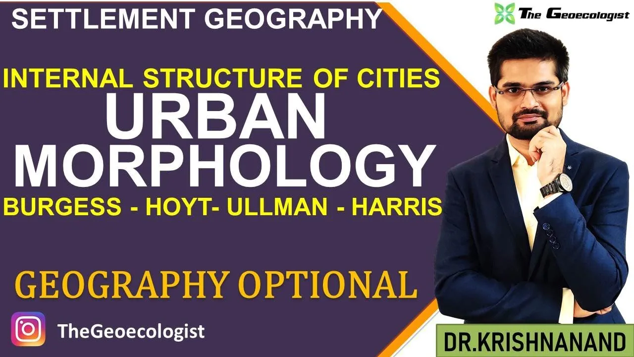
Table of Contents
- Historical Background of Urban Morphology
- Key Milestones in Urban Morphology Theory
- The Burgess Concentric Zone Model (1925)
- Strengths and Limitations
- The Hoyt Sector Model (1939)
- Advantages over the Burgess Model
- The Ullman‑Harris Multiple Nuclei Model (1945)
- Comparative Analysis of the Three Models
- Applications in UPSC Geography Optional
- Contemporary Relevance and Case Studies
- Case Study 1: Delhi, India
- Case Study 2: São Paulo, Brazil
- Case Study 3: London, United Kingdom
- Challenges and Limitations of Classical Models
- Future Directions in Urban Morphology Research
- Conclusion
urban morphology cities: The internal structure of cities reveals how land use, population density, and socioeconomic activities are organized across urban landscapes. Understanding these patterns is essential for grasping how cities grow, function, and evolve over time, especially for students preparing for UPSC Geography Optional and other geography examinations.
- Urban morphology examines the form and structure of settlements, focusing on spatial arrangements of buildings, streets, and land uses.
- Classic models such as Burgess’s Concentric Zone, Hoyt’s Sector, and Ullman‑Harris Multiple Nuclei explain different patterns of internal city structure.
- These theories, developed between 1925 and 1945, remain foundational for urban planning, geography, and UPSC syllabi.
- Statistical data shows that over 55% of the world’s population lived in urban areas by 2020, underscoring the relevance of urban morphology studies.
- Applications include zoning regulations, transportation planning, and assessing socioeconomic segregation within metropolitan regions.
Historical Background of Urban Morphology
The study of urban morphology emerged in the early 20th century as geographers sought to explain the spatial organization of growing industrial cities. Scholars observed that cities were not random aggregations but exhibited discernible patterns influenced by economic activities, transportation networks, and social hierarchies. The pioneering work of sociologist Ernest Burgess in 1925 introduced the first systematic model of urban structure, laying the groundwork for subsequent theories. By the late 1930s and mid‑1940s, economists and geographers such as Homer Hoyt and the duo of Edward Ullman and Marcus Harris refined these ideas, proposing alternative configurations that better accommodated the complexities of real‑world urban development. – a key consideration for urban morphology cities.
Key Milestones in Urban Morphology Theory
- 1925 – Ernest Burgess publishes the Concentric Zone Model based on Chicago’s growth.
- 1939 – Homer Hoyt introduces the Sector Model, emphasizing transportation routes.
- 1945 – Edward Ullman and Marcus Harris present the Multiple Nuclei Model, highlighting decentralized growth.
The Burgess Concentric Zone Model (1925)
Ernest Burgess’s Concentric Zone Model, often referred to simply as the Burgess model, describes city growth as a series of concentric rings expanding outward from a central business district (CBD). Each zone represents a distinct land‑use function: – a key consideration for urban morphology cities.
- Zone I – Central Business District (CBD): Core of commercial, financial, and governmental activities.
- Zone II – Transition Zone: Mixed residential and industrial areas, often characterized by aging infrastructure and immigrant settlement.
- Zone III – Independent Working‑Class Homes: Stable housing for blue‑collar workers.
- Zone IV – Better Residences: Middle‑class suburbs with newer housing.
- Zone V – Commuter’s Zone: Outermost residential area inhabited by affluent commuters.
The model assumes uniform physical and cultural landscape, with growth driven by outward expansion and invasion‑succession processes. Although criticized for its simplicity, the Burgess model remains a vital teaching tool in geography curricula. For a detailed overview, see the Burgess model on Wikipedia. – a key consideration for urban morphology cities.
Strengths and Limitations
Strengths include its clear visual representation and emphasis on socioeconomic segregation. Limitations arise from assuming isotropic terrain, ignoring physical barriers, and not accounting for polycentric development patterns observed in many modern cities. – a key consideration for urban morphology cities.
The Hoyt Sector Model (1939)

Homer Hoyt challenged the concentric assumption by proposing that urban growth proceeds in wedge‑shaped sectors radiating from the CBD along major transportation corridors. According to the Hoyt model, certain land uses (e.g., high‑class residential, industrial) tend to occupy specific sectors due to advantages such as accessibility and historical precedence. – a key consideration for urban morphology cities.
For instance, industrial zones often follow rail lines or waterways, while affluent residential sectors expand outward along scenic boulevards or elevated terrain. This sectoral approach better explains the persistence of land‑use patterns over time, as similar activities reinforce each other within a sector. – a key consideration for urban morphology cities.
Further reading is available via the Hoyt model Wikipedia entry.
Advantages over the Burgess Model
The Hoyt model introduces directional growth, acknowledges the influence of transport routes, and provides a more realistic depiction of cities with distinct corridors of activity. However, urban morphology cities still assumes a single CBD and may underestimate the emergence of multiple centers in large metropolitan areas.
The Ullman‑Harris Multiple Nuclei Model (1945)
Recognizing that many large cities develop several independent centers of activity, Edward Ullman and Marcus Harris introduced the Multiple Nuclei Model. This theory posits that cities consist of multiple nuclei, each serving as a focal point for particular land‑use functions (e.g., a university campus, an airport, a park, or a industrial district). These nuclei attract complementary land uses and grow outward, eventually merging into a complex urban mosaic. – a key consideration for urban morphology cities.
Key nuclei identified include:
- Central Business District (CBD)
- Wholesale, Light Manufacturing
- Low‑Class Residential
- Heavy Industry
- Out‑of‑Town Business District
- Residential Suburb
- Industrial Suburb
- Institutional Centers (e.g., universities, hospitals)
The model effectively captures the polycentric nature of contemporary metropolitan regions, such as Los Angeles or London, where employment and services are dispersed across several hubs.
Comparative Analysis of the Three Models
While the Burgess model emphasizes concentric expansion, the Hoyt model highlights sectoral specialization, and the Ullman‑Harris model focuses on multiple nuclei. Each model reflects the urban context of its time: – a key consideration for urban morphology cities.
| Aspect | Burgess (1925) | Hoyt (1939) | Ullman‑Harris (1945) |
|---|---|---|---|
| Growth Pattern | Concentric zones | Sectoral wedges | Multiple nuclei |
| Primary Driver | Invasion‑succession | Transport routes | Economic agglomeration |
| Number of Centers | One CBD | One CBD | Several nuclei |
| Best Fit Cities | Early industrial cities (e.g., Chicago) | Cities with strong transport corridors (e.g., Detroit) | Large polycentric metropolises (e.g., Los Angeles) |
Modern urban geographers often integrate elements from all three models to explain heterogeneous urban landscapes.
Applications in UPSC Geography Optional
For UPSC aspirants, understanding urban morphology is crucial for both Paper I (Physical Geography) and Paper II (Human Geography). urban morphology cities appears under the sub‑heading “Settlement Geography” and is frequently linked with questions on urbanization, migration, and regional development. Key points to remember include:
- The chronological evolution of urban models and their underlying assumptions.
- Ability to draw schematic diagrams of each model and explain land‑use zones.
- Knowledge of Indian examples: Delhi’s concentric tendencies, Mumbai’s sectoral industrial corridors, and Bengaluru’s multiple urban morphology cities nuclei.
- Linking models to contemporary issues such as slum formation, gentrification, and smart city initiatives.
Mastery of these concepts aids in answering both descriptive and analytical questions, enhancing scoring potential in the geography optional.
Contemporary Relevance and Case Studies
Today’s cities exhibit hybrid morphologies that defy strict classification. For example:
Case Study 1: Delhi, India
Delhi displays a strong concentric pattern around the historic CBD (Connaught Place) but also exhibits sectoral growth along the Grand Trunk Road and multiple nuclei such as Nehru Place (commercial), Okhla (industrial), and Dwarka (suburban). – a key consideration for urban morphology cities.
Case Study 2: São Paulo, Brazil
São Paulo’s expansion follows sectoral patterns along major highways (e.g., Via Anchieta) while hosting numerous nuclei like the financial district (Faria Lima), university campus (USP), and industrial suburbs (São Bernardo). – a key consideration for urban morphology cities.
Case Study 3: London, United Kingdom
London’s morphology combines a historic concentric core (the City of London) with sectoral development along radial rail lines and multiple nuclei such as Canary Wharf (financial), Heathrow (airport), and Olympic Park (recreational). – a key consideration for urban morphology cities.
These examples illustrate the need for a flexible, integrative approach when analyzing urban structure.
Challenges and Limitations of Classical Models
Despite their educational value, the Burgess, Hoyt, and Ullman‑Harris models face several critiques:
- They were formulated based on North American cities and may not fully capture dynamics in Global South contexts.
- Assumptions of uniform topography and unlimited land ignore physical constraints like rivers, hills, or coastlines.
- The models tend to overlook the impact of technological advancements (e.g., telecommunications, remote work) that decouple employment from physical proximity.
- Contemporary urban phenomena such as edge cities, technoburbs, and gentrified enclaves often require newer theoretical frameworks.
Nevertheless, they provide a foundational vocabulary for discussing more complex theories like the Galactic City model, the Peripheral Model, and the Smart City paradigm.
Future Directions in Urban Morphology Research
Emerging research leverages geospatial technologies, big data, and machine learning to uncover subtle patterns in urban form. Satellite imagery, night‑time lights, and mobile phone data enable dynamic modeling of land‑use change over time. Additionally, interdisciplinary approaches combining economics, sociology, and environmental science aim to address sustainability, resilience, and equity in urban planning.
For UPSC candidates, staying updated with recent reports from the United Nations‑Habitat, World Bank, and national urban policies will enrich answers and demonstrate awareness of current developments.
Conclusion
The study of urban morphology—particularly the internal structure of cities through the Burgess, Hoyt, and Ullman‑Harris models—remains a cornerstone of human geography. These theories offer clear, visual frameworks for understanding how cities organize space, allocate resources, and evolve over decades. While each model has its limitations, together they provide a robust foundation for analyzing both historical and contemporary urban landscapes. For UPSC Geography Optional aspirants, mastering these concepts not only aids in examination success but also builds a solid base for future engagement with urban planning, policy, and research.
Frequently Asked Questions
The focus keyword is "urban morphology cities".
The Burgess Concentric Zone Model, the Hoyt Sector Model, and the Ullman-Harris Multiple Nuclei Model are discussed.
It aids in answering settlement geography questions, drawing model diagrams, linking theories to Indian case studies, and scoring well in the Geography Optional paper.