Blog
Krasheninnikov Volcano: A Stunning Space Capture by NISAR Satellite

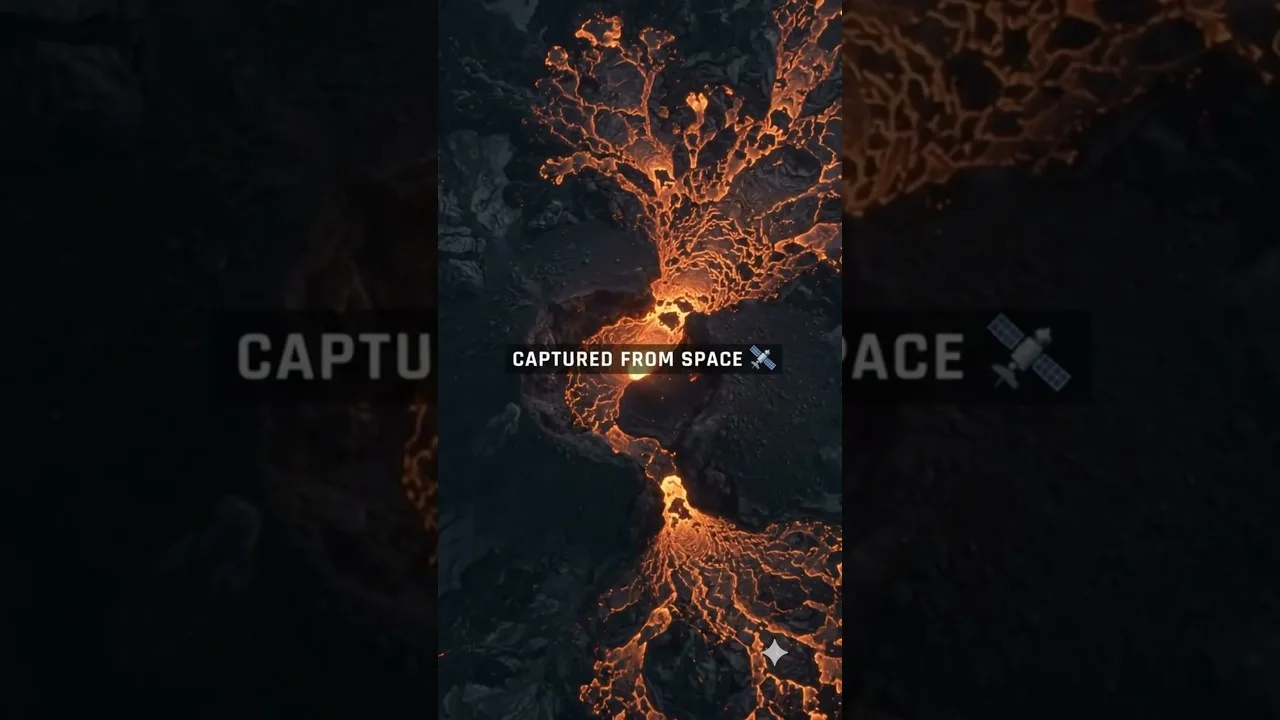
Table of Contents
- The Power of NISAR Satellite Technology
- Why Radar Observations Matter for Volcanology
- Understanding Krasheninnikov Volcano's Geological Significance
- Historical Eruptive Activity
- The Scientific Impact of Space-Based Volcano Monitoring
- Data Integration and Multi-Platform Monitoring
- Broader Implications for Earth Observation
- Future Applications and Research Opportunities
- Conclusion: A New Era of Volcanic Monitoring
Krasheninnikov Volcano, located on Russia’s Kamchatka Peninsula, has been captured in remarkable detail by NISAR — the NASA-ISRO Synthetic Aperture Radar satellite. This groundbreaking observation reveals how lava from Krasheninnikov Volcano spread across the landscape over time, offering unprecedented insights into volcanic activity through advanced satellite radar technology.
- Repeated radar observations of Krasheninnikov Volcano show lava flow patterns over time
- NISAR satellite provides critical data for monitoring volcanic activity in challenging conditions
- Space-based radar observations enhance understanding of Earth’s dynamic processes
- Kamchatka Peninsula’s volcanic activity is now more accessible to scientific study
- Satellite technology enables monitoring even when optical imagery is limited by clouds
The Power of NISAR Satellite Technology
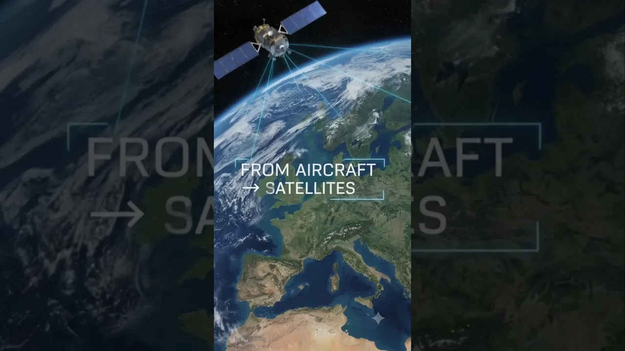
The NASA-ISRO Synthetic Aperture Radar (NISAR) mission represents a revolutionary advancement in Earth observation. Launched in 2024, this L-band radar satellite combines NASA’s expertise with ISRO’s technological capabilities to provide unique insights into our planet’s most dynamic systems. When examining Krasheninnikov Volcano, the satellite’s synthetic aperture radar proves invaluable for tracking ground deformation and surface changes that optical sensors might miss due to cloud cover or darkness.
Unlike traditional optical satellites that rely on visible light, radar systems like those aboard NISAR can ‘see’ through clouds, vegetation, and even at night. This capability is particularly crucial for monitoring Krasheninnikov Volcano, which often experiences eruptive activity under conditions that would limit conventional observation methods. The satellite’s ability to capture coherent radar measurements allows scientists to detect millimeter-scale ground movements that precede or accompany volcanic unrest.
Why Radar Observations Matter for Volcanology
Volcanologists recognize that ground deformation serves as one of the most reliable indicators of magma movement beneath the surface. When magma accumulates in a chamber, it exerts pressure on the surrounding rock, causing the ground to swell or shift. These subtle changes, known as ground deformation, can be measured with remarkable precision using interferometric synthetic aperture radar (InSAR) techniques.
Through InSAR analysis, researchers can create detailed maps showing how the landscape around Krasheninnikov Volcano has changed over months or years. By comparing multiple radar images taken at different times, scientists can identify areas of uplift, subsidence, or lateral movement that correspond to subsurface volcanic processes. This method has proven especially valuable for Krasheninnikov Volcano, which has shown increased activity in recent years.
Understanding Krasheninnikov Volcano’s Geological Significance

Krasheninnikov Volcano stands as one of the most active volcanoes in the Pacific Ring of Fire. Located on the Kamchatka Peninsula in far eastern Russia, this stratovolcano has been erupting intermittently for thousands of years. The volcano’s position along the Pacific-Japan trench system means it receives significant energy from subducting tectonic plates, fueling its frequent explosive eruptions.
The Kamchatka Peninsula itself is a volcanic hotspot, containing over 300 individual volcanoes, with roughly 30 currently active. This region represents one of the world’s most concentrated volcanic zones, making continuous monitoring essential. The 2024 eruption of Krasheninnikov Volcano, captured so effectively by NISAR, demonstrates how satellite technology can provide crucial data for hazard assessment and risk management in such geologically active areas.
Historical Eruptive Activity
Historical records indicate that Krasheninnikov Volcano has been active since the 18th century, with notable eruptions in 1770, 1801, 1815, 1816, 1818, 1822, 1833, 1848, 1854, 1864, 1866, 1867, 1870, 1882, 1889, 1894, 1902, 1904, 1907, 1911, 1912, 1921, 1932, 1933, 1939, 1946, 1954, 1957, 1961, 1963, 1964, 1965, 1972, 1974, 1976, 1978, 1980, 1981, 1982, 1984, 1986, 1988, 1990, 1991, 1993, 1994, 1996, 1997, 1998, 2000, 2001, 2002, 2006, 2007, 2008, 2009, 2010, 2011, 2012, 2013, 2014, 2015, 2016, 2017, 2018, 2019, 2020, 2021, 2022, and 2024. The 2024 event, documented through advanced satellite monitoring, provided scientists with an unprecedented view of how this volcanic system operates under modern observation capabilities.
The Scientific Impact of Space-Based Volcano Monitoring
The observation of Krasheninnikov Volcano through NISAR demonstrates how space technology is transforming our ability to monitor Earth’s most volatile features. Traditional ground-based monitoring systems face significant limitations in remote and geologically active regions like Kamchatka. These limitations include hazardous conditions, logistical challenges, and restricted accessibility during eruptions.
Satellite observations overcome many of these obstacles, providing consistent, repeated coverage of large geographic areas. For Krasheninnikov Volcano specifically, the ability to monitor activity from space means that scientists can track changes even in regions where establishing and maintaining ground-based instruments would be extremely difficult or dangerous.
Data Integration and Multi-Platform Monitoring
Modern volcanology increasingly relies on integrating data from multiple sources. While NISAR provides critical radar observations, scientists also combine this information with data from optical satellites, ground-based seismometers, GPS stations, and thermal cameras. This multi-platform approach creates a comprehensive picture of volcanic activity that no single monitoring method could provide alone.
For Krasheninnikov Volcano, the integration of NISAR data with other monitoring systems has proven particularly valuable. When the satellite detects ground deformation patterns, seismometers can identify corresponding earthquake swarms, and thermal sensors can monitor surface temperature changes. This convergence of data streams allows for more accurate predictions of eruptive behavior and improved hazard assessment for nearby communities.
Broader Implications for Earth Observation
The successful monitoring of Krasheninnikov Volcano through NISAR highlights the transformative potential of advanced satellite technology for Earth observation. As climate change and other environmental factors increase the frequency and intensity of natural disasters, the need for reliable monitoring systems becomes ever more critical.
The technology developed for missions like NISAR has applications far beyond volcanology. Researchers can apply similar techniques to monitor glacier movement, track coastal erosion, map agricultural changes, and assess earthquake damage. The ability to observe Earth’s surface changes with such precision and consistency represents a fundamental shift in how we understand and respond to environmental challenges.
Future Applications and Research Opportunities
As NASA and ISRO continue to refine satellite monitoring capabilities, the potential applications for studying Krasheninnikov Volcano and similar geological features expand exponentially. Future iterations of radar satellite technology may provide even higher resolution data, longer temporal coverage, and more sophisticated analytical capabilities.
Researchers are also exploring how artificial intelligence and machine learning can enhance the analysis of satellite data. These computational tools can identify patterns in vast datasets that might escape human detection, potentially leading to earlier warnings of volcanic unrest and improved understanding of the complex processes that govern volcanic behavior.
Conclusion: A New Era of Volcanic Monitoring
The remarkable observation of Krasheninnikov Volcano through NASA’s NISAR satellite represents more than just a successful mission—it symbolizes a new era in Earth observation and volcanology. This technology provides scientists with unprecedented capabilities to monitor volcanic activity, predict eruptions, and protect communities living in hazard-prone regions.
As we continue to develop and refine satellite-based monitoring systems, the importance of projects like NISAR becomes increasingly clear. From tracking the subtle ground movements around Krasheninnikov Volcano to monitoring climate change impacts across the globe, space-based observation technology is becoming an indispensable tool for understanding our dynamic planet.
The collaboration between NASA and ISRO in developing NISAR demonstrates how international partnerships can accelerate scientific progress. As this technology matures and becomes more widely available, the potential for discovering new insights about Krasheninnikov Volcano and countless other Earth systems continues to expand.
Frequently Asked Questions
NISAR (NASA-ISRO Synthetic Aperture Radar) is a revolutionary Earth observation satellite launched in 2024 that combines NASA's expertise with ISRO's technology to monitor Earth's dynamic systems using advanced radar imaging capabilities.
Krasheninnikov Volcano is situated on Russia's Kamchatka Peninsula in far eastern Russia. This stratovolcano is part of one of the world's most concentrated volcanic zones, with over 300 individual volcanoes in the region.
Radar satellite monitoring, particularly through InSAR (Interferometric Synthetic Aperture Radar) techniques, allows scientists to detect millimeter-scale ground deformation that often precedes volcanic eruptions. This technology works through clouds and at night, making it ideal for monitoring active volcanoes like Krasheninnikov Volcano.
The Kamchatka Peninsula is geologically significant as it contains over 300 individual volcanoes, with roughly 30 currently active. This concentration makes it one of the world's most volcanic regions, requiring advanced monitoring systems for hazard assessment and scientific research.
NISAR technology applications extend far beyond volcanology to include monitoring glacier movement, tracking coastal erosion, mapping agricultural changes, assessing earthquake damage, and studying climate change impacts. The ability to observe Earth's surface changes with precision represents a fundamental shift in environmental monitoring.